Browse / Canada / Prince Edward Island / Pleasant Grove
Pleasant Grove
Prince Edward Islandvillage
No image yet
Coordinates46.36°, -63.08°
Demographic figures from Statistics Canada. Overview below cites Wikipedia and may reference a different year.
Loading additional data from public sources…0 / 11
CensusWikipediaWeatherPlacesPeopleEnvironmentHealth & SchoolsRelatedGeography & CultureLive MonitoringEvents & Gallery
0% completeCity facts
Overview
Pleasant Grove was a municipality that held community status in Prince Edward Island, Canada. It was incorporated in 1980. On September 28, 2018, it was merged into the municipality of North Shore.
Read more on WikipediaHistory & geography
Geography
Latitude
46.3633
Longitude
-63.0773
Water area
—
Coordinates & boundaries from the US Census TIGER/Line shapefiles.
Climate
Air quality
Walkability
Amenities nearby
Wildlife & biodiversity
Earthquake history
Photos
Sights & places nearby
Notable people from here

Frank Lewis
Canadian broadcaster; Lieutenant Governor of Prince Edward Island

William Scott Ferguson
Canadian-American historian (1875–1954)
B
Buck Watts
Canadian politician

John Alexander Mathieson
Canadian politician (1863–1947)
R
Robert Mitchell
Prince Edward Island politician (21st century)
R
Robert Vessey
Canadian politician

William Christopher Macdonald
Canadian businessman and philanthropist (1831–1917)
F
F. H. Auld
Canadian agricultural scientist
H
Henry Oxley
Canadian baseball player (1858-1945)

John Alexander Macdonald
Canadian politician born 1874

Wade MacLauchlan
Canadian legal academic, university administrator, politician, community leader and 32nd Premier of Prince Edward Island
People born within ~10 km, from Wikidata (CC0). Click any name for their Wikipedia article.
Nearby places in Prince Edward Island
- Summerville18.4 mi away
- Souris39.4 mi away · pop. 1,232
- Harmony47.4 mi away
- Derby56.3 mi away
- Hebron59.1 mi away
- Burton66 mi away
- Vila dos Remédios3942.6 mi away · pop. 3,167
- Vila Serrânia3966.5 mi away
- Serra do Cavaco3967 mi away
- Serra do Rancho Grande3968.2 mi away
- Sítio Serra Palma3968.9 mi away
- Serra do Jardim II3971.3 mi away
Geography & sun
Avg solar (kWh/m²/day)
3.31
Annual solar (kWh/m²)
1,207
Elevation, sunrise/sunset and daylight from Open-Meteo. Solar climatology from NASA POWER.
Nearby airports
Public attention
Wikipedia views (last 30 days)
20
Avg daily Wikipedia views
1
Attention level
Obscure
Pageview totals from the Wikimedia Pageviews API.
Books about this place
Recent natural events nearby
Ground air-quality sensors
Recently spotted species
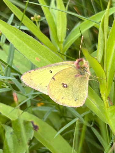
Clouded Sulphur
Colias philodice
Seen 2026-09-17
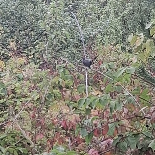
Gray Catbird
Dumetella carolinensis
Seen 2026-09-17
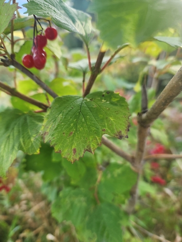
guelder-rose
Viburnum opulus
Seen 2026-09-17
Striped Skunk
Mephitis mephitis
Seen 2026-09-16
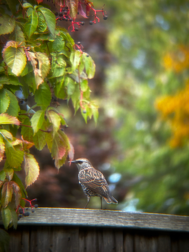
European Starling
Sturnus vulgaris
Seen 2026-09-16
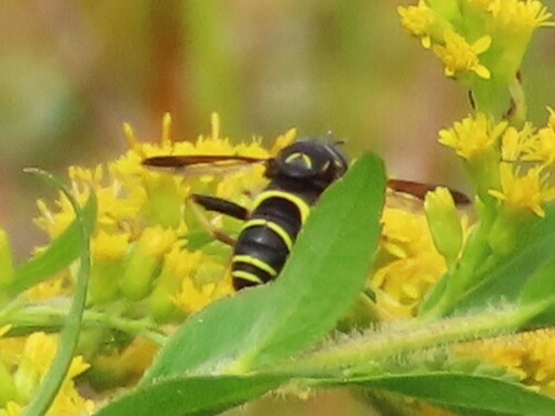
Four-lined Hornet Fly
Spilomyia sayi
Seen 2026-09-16
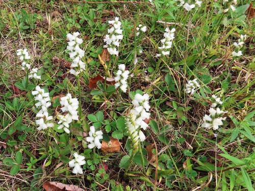
Sphinx ladies’ tresses
Spiranthes incurva
Seen 2026-09-16
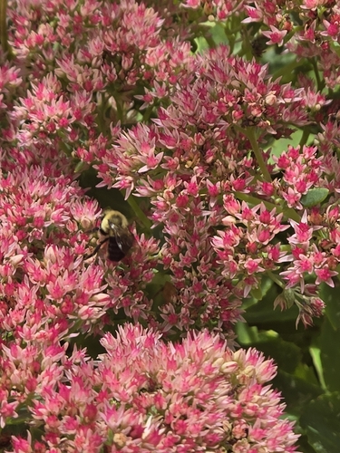
Common Eastern Bumble Bee
Bombus impatiens
Seen 2026-09-16
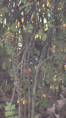
Black-and-white Warbler
Mniotilta varia
Seen 2026-09-16
Research-grade observations from iNaturalist (within ~15 mi).
Events
Gallery
Sources
- • Wikipedia
- • Wikidata
- • iNaturalist
- • Open-Meteo / sunrise-sunset.org
- • Wikipedia Pageviews API