Browse / United States / California / Pleasanton
Pleasanton
Californiacity

Pleasanton
Total population
75,661
Median home value
$1,534,600
Bachelor's+
Median income
$176,390
Demographic figures from US Census Bureau · ACS 5-year estimates. Overview below cites Wikipedia and may reference a different year.
- Heat Advisory · ModerateHeat Advisory issued October 1 at 9:43AM PDT until October 4 at 10:00PM PDT by NWS San Francisco CA
Source: NOAA National Weather Service.
City facts
Facts from Wikidata (CC0).
Overview
Pleasanton is a city in Alameda County, California, United States. Located in the Amador Valley, it is an upscale suburb in the East Bay region of the San Francisco Bay Area. The population was 79,871 at the 2020 census. In 2005 and 2007, Pleasanton was ranked the wealthiest middle-sized city in the United States by the Census Bureau.
Read more on WikipediaHistory & geography
History
The Amador-Livermore Valley, where Pleasanton is located, was home to tribes in the Ohlone language group, mainly speaking Chochenyo. As of the 1770s seven tribes were present in the valley: the Causen, Pelnen, Seunen, Ssaoan, Ssouyen, Taunan, and Yulien. Native people from the valley began to join Mission Santa Clara, founded in 1777, in small numbers by the 1790s. near the site of a Native American ranchera, around the Francisco Solano Alviso Adobe called El Alisal (The Sycamores), one of the earliest houses built in the valley in 1844. It is still standing and serves as the centerpiece of the Alviso Adobe Community Park. Alisal, nicknamed "The Most Desperate Town in the West", was one of the settlements located along La Vereda del Monte that was a haunt and refuge of bandits and desperados in the era following the beginning of the California Gold Rush. Main Street shootouts were not uncommon. Banditos such as Claudio Feliz and Joaquin Murrieta ambushed prospectors on their way back from the gold rush fields and then sought refuge in Alisal. In the 1860s Procopio, Narciso Bojorques and others took refuge there. Alisal Elementary School reflects the city's original name. The Rancho Valle de San José grant had been given to Agustín and Juan Pablo Bernal and their brothers-in-law Antonio Suñol and Antonio Maria Pico. In 1917, Pleasanton was the backdrop for the film Rebecca of Sunnybrook Farm, starring Mary Pickford. The town was once home to Phoebe Apperson Hearst, who lived in a 50-room mansion on a estate, now the site of Castlewood Country Club. Radum Plant was a sand and gravel plant opened in 1931 by Henry J. Kaiser Co., at Radum train station, one mile east of Pleasanton. After World War II, Pleasanton changed from being primarily focused on farming and…
Geography
Pleasanton is adjacent to Hayward, Livermore, and Dublin. According to the United States Census Bureau, the city has a total area of , of which is land and (0.61%) is water. On the east side of town on Stanley Blvd. near the Livermore border is Shadow Cliffs Regional Park, a lake that permits swimming, fishing, and boating. On the west side is the Pleasanton Ridge with two parks, Pleasanton Ridge and Augustin Bernal Park. Much of Pleasanton is drained by the Arroyo Valle and Arroyo Mocho watercourses. Pleasanton lies along the route of the historic First transcontinental railroad. Pleasanton features a Mediterranean climate, featuring hot, dry summers and mild to cool winters with occasional rainfall (Köppen climate classification Csa). The highest recorded temperature was in 1950. The lowest recorded temperature was in 1990. | source 2 = Weather Atlas | date = August 2010 | source = | collapsed = y }}
Excerpted from the corresponding Wikipedia article (CC BY-SA).
Demographics & economy
Race & ethnicity
Source: US Census Bureau — American Community Survey, 5-year estimates.
Geography
Coordinates & boundaries from the US Census TIGER/Line shapefiles.
Climate
Current forecast
Forecast for Pleasanton, CA from NOAA NWS API.
Air quality
Industrial & pollution facilities
Natural hazard risk
Health (adults)
Walkability
Amenities nearby
Wildlife & biodiversity
Most-observed species
- California/Woodhouse's Scrub-JayAphelocoma californica (Vigors, 1839) · Aves25,314
- House FinchHaemorhous mexicanus (P.L.Statius Müller, 1776) · Aves24,260
- Anna's HummingbirdCalypte anna (R.Lesson, 1829) · Aves23,796
- Black PhoebeSayornis nigricans (Swainson, 1827) · Aves22,133
- Turkey VultureCathartes aura (Linnaeus, 1758) · Aves21,155
- American CrowCorvus brachyrhynchos C.L.Brehm, 1822 · Aves20,043
- Mourning DoveZenaida macroura (Linnaeus, 1758) · Aves19,297
- California TowheeMelozone crissalis (Vigors, 1839) · Aves18,496
Citizen-science & research observations from the Global Biodiversity Information Facility (GBIF).
Schools
Earthquake history
Photos
Sights & places nearby
Notable people from here


People born within ~10 km, from Wikidata (CC0). Click any name for their Wikipedia article.
Nearby places in California
- Norris Canyon8 mi away
- Fairview9 mi away · pop. 10,745
- San Lorenzo13.9 mi away
- North Gate17.7 mi away
- Moraga18.1 mi away
- East Foothills20 mi away · pop. 7,139
- Contra Costa Centre20.2 mi away · pop. 6,893
- Orinda21.6 mi away
- Piedmont21.9 mi away
- North Fair Oaks22.1 mi away
- Reliez Valley22.4 mi away
- Pacheco24.4 mi away
Geography & sun
Elevation, sunrise/sunset and daylight from Open-Meteo. Solar climatology from NASA POWER.
Nearby airports
Public attention
Pageview totals from the Wikimedia Pageviews API.
Books about Pleasanton

Search results from Open Library.
Recent natural events nearby
- Wildfire GANN, Calaveras, CaliforniaWildfires · 2026-08-03 · 68 mi
- Wildfire Timber, Monterey, CaliforniaWildfires · 2026-08-09 · 101 mi
- Wildfire DOME, Mariposa, CaliforniaWildfires · 2026-09-15 · 124 mi
- Wildfire LUCAS, Lake, CaliforniaWildfires · 2026-09-10 · 124 mi
- Wildfire LUCAS, Lake, CaliforniaWildfires · 2026-09-10 · 124 mi
- Wildfire Plaskett, Monterey, CaliforniaWildfires · 2026-08-26 · 124 mi
- Wildfire FLORISTON, Nevada, CaliforniaWildfires · 2026-09-16 · 156 mi
- Wildfire Bull, Washoe, NevadaWildfires · 2026-10-02 · 165 mi
Wildfires, storms and other events from NASA EONET (last 12 months, within 250 mi).
Ground air-quality sensors
Recently spotted species
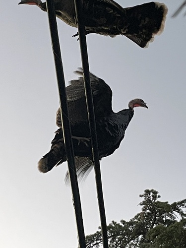
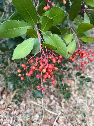
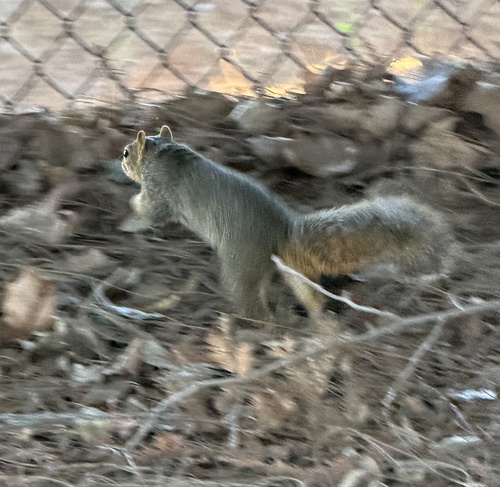
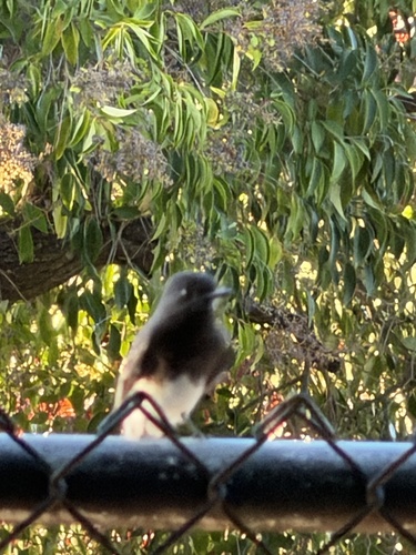
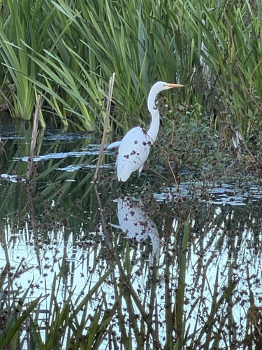
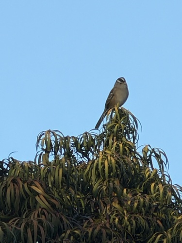
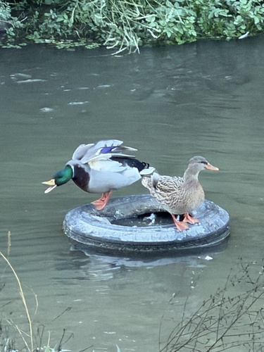
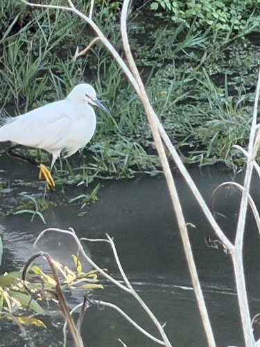
Research-grade observations from iNaturalist (within ~15 mi).
Nearest stream gauge
Events
Gallery
Sources
- • Wikipedia
- • US Census Bureau (ACS 5-year estimates)
- • NOAA National Weather Service
- • Wikidata
- • GBIF (Global Biodiversity Information Facility)
- • iNaturalist
- • Open-Meteo / sunrise-sunset.org
- • Wikipedia Pageviews API
- • Open Library
- • NASA EONET