Browse / Canada / Manitoba / Portage la Prairie
Portage la Prairie
Manitobacity

Portage la Prairie
Total population
12,996
Founded
1738
Demographic figures from Statistics Canada. Overview below cites Wikipedia and may reference a different year.
City facts
Facts from Wikidata (CC0).
Overview
Portage la Prairie is a small city in the Central Plains Region of Manitoba, Canada. In 2016, the population was 13,304 and the land area was 24.68 square kilometres (9.53 sq mi).
Read more on WikipediaHistory & geography
History
Long before European settlers arrived in the mid-1800s, the Portage la Prairie area was first inhabited by several Indigenous nations (including the Anishinaabe/Ojibwe, Cree, and Dakota/Sioux peoples) at various times across millennia. Though anthropological evidence suggests the emergence of pre-historic plains cultures in southwestern Manitoba as early as 12,000 years ago, habitable grasslands and human activity likely never emerged around present-day Portage la Prairie until the receding of Lake Agassiz 8,000–10,000 years ago. Legend has it that coureurs des bois Pierre-Esprit Radisson and Médard des Groseilliers—both instrumental in the founding of the Hudson's Bay Company—may have been the first Europeans to visit the area as early as the mid-17th century. The name "Portage la Prairie", perhaps coined by these early explorers, is derived from the French word portage, which means to carry a canoe overland between waterways, in this case over "the prairie". This particular "portage" route, used by Indigenous peoples even before the global Fur Trade, ran for 25 kilometres between the Assiniboine River and Lake Manitoba. In September 1738, after the Assiniboine River fur trade had extended into Western Canada, Pierre Gaultier de Varennes, sieur de La Vérendrye (a French-Canadian explorer and fur trader) built Fort La Reine north of the Assiniboine River. The fort served primarily as a French fur trading post, while also providing the explorers with a "home" operating base from which they would explore other parts of central Manitoba and western North America. The fort ceased operations after burning to the ground in 1759, toward the end of New France. In 1851, Archdeacon William Cochrane (Cockran) of the Anglican Church, John McLean, as well as other ambitious…
Geography
The city became a major transportation centre due to its proximity to the river, and later, the location of the main lines of the country's national railways passing through the community. The CPR and Canadian National Railways (CNR) intersect in Portage; one of the few places in Canada where the two railways meet. This has made Portage la Prairie one of the most ideal places for railway aficionados to view trains; approximately 72 trains pass through the city each day. The Trans-Canada Highway, a major national transportation route, runs past the city and provides the community with business if highway travellers decide to make a trek into Portage. The post-glacial flood plain surrounding Portage la Prairie is highly fertile, with rich, clay-loam soils abundant in nutrients. Portage la Prairie is therefore a major agricultural centre in Manitoba, and in Canada. The rural land surrounding the community is undoubtedly a breadbasket in North America, boasting some of the best soils on the continent for the production of a wide array of vegetables, berries, grains, and lentils. The city has an aggressive tree-planting program and is known for its mature urban forest. A collection of some of the largest cottonwood trees in Canada line the west end of the main street known as Saskatchewan Avenue (as well as Crescent Road which runs adjacent to Crescent Lake), and, along with many other species like Manitoba maple, bur oak and green ash, are present throughout the city. It is the home of former Prime Minister of Canada Arthur Meighen; a school and an avenue are named in his honour. According to Environment Canada, Portage la Prairie has the most sunny days during the warm months in Canada.) with warm summers and very cold, dry winters. The highest temperature ever…
Excerpted from the corresponding Wikipedia article (CC BY-SA).
Geography
Coordinates & boundaries from the US Census TIGER/Line shapefiles.
Climate
Air quality
Walkability
Amenities nearby
Wildlife & biodiversity
Earthquake history
Photos
Sights & places nearby
Notable people from here


People born within ~10 km, from Wikidata (CC0). Click any name for their Wikipedia article.
Geography & sun
Nearby airports
Public attention
Books about this place
Recent natural events nearby
Ground air-quality sensors
Recently spotted species
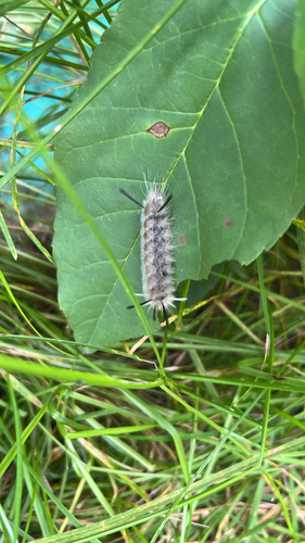
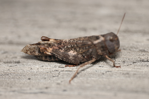
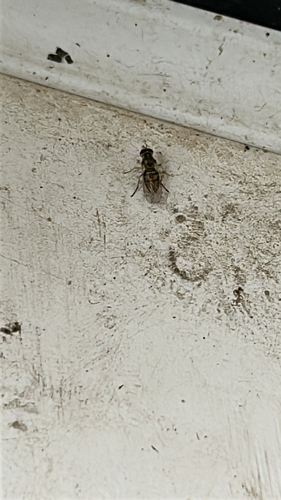
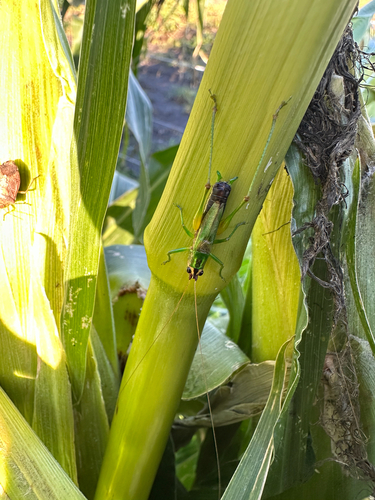
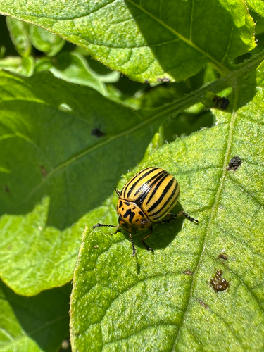
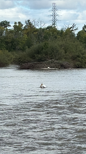
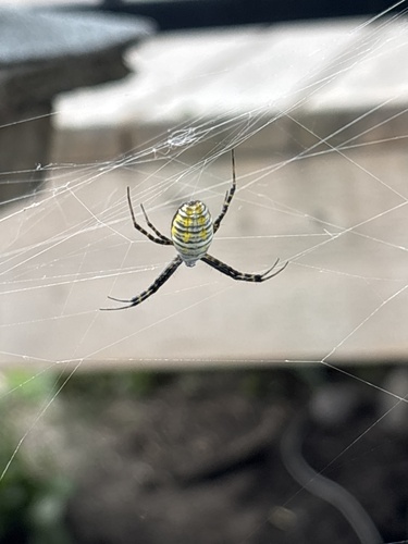
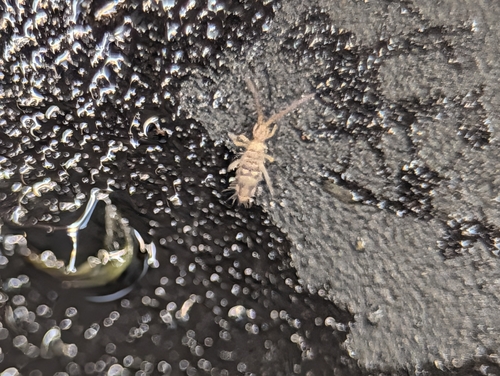
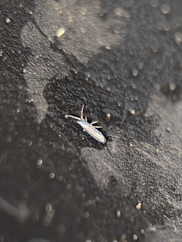
Research-grade observations from iNaturalist (within ~15 mi).
Events
Gallery
Sources
- • Wikipedia
- • Wikidata
- • iNaturalist