Browse / United States / California / Porterville
Porterville
Californiacity

Porterville
Total population
63,157
Median home value
$285,700
Bachelor's+
Median income
$60,461
Demographic figures from US Census Bureau · ACS 5-year estimates. Overview below cites Wikipedia and may reference a different year.
- Heat Advisory · ModerateHeat Advisory issued October 1 at 9:30AM PDT until October 4 at 10:00PM PDT by NWS Hanford CA
Source: NOAA National Weather Service.
City facts
Sister cities
Facts from Wikidata (CC0).
Overview
Porterville is a city at the base of Southern Sierra Nevada mountains on the eastern side of San Joaquin Valley, in Tulare County, California, United States. It is part of the Visalia-Porterville metropolitan statistical area. Serving as the economic hub of the Southern Sierra, the Sequoia National Forest is nearby, offering outdoor recreational opportunities such as hiking, camping, and fishing. Since its incorporation in 1902, the city's population has grown as it annexed nearby unincorporated areas. The city population was 62,623 at the 2020 census.
Read more on WikipediaHistory & geography
History
During California's Spanish period, the San Joaquin Valley was considered a remote region of little value. Emigrants skirted the eastern foothills in the vicinity of Porterville as early as 1826. Swamps stretched out into the Valley floor lush with tall rushes or "tulare" as the Indigenous people called them. Gold discovered in 1848 brought a tremendous migration to California, and prairie schooners rolled through Porterville between 1849 and 1852. Starting in 1854, Peter Goodhue operated a stopping place on the Stockton - Los Angeles Road on the bank of the Tule River. Wagon trains of gold seekers passed through the village, but other travelers found the land rich and remained to establish farms. A store was set up in 1856 to sell goods to miners and the Native Americans, who lived in tribal lands along the rivers. From 1858 to 1861 it was the location of the Tule River Station of Butterfield Overland Mail. Royal Porter Putnam came to the village in 1860 to raise cattle, horses and hogs. He bought out Goodhue the same year and turned the station into a popular stopping place and hotel called Porter Station. He bought 40 acres of land and built a two-story store and a hotel on the highest point of the swampy property, which is now the corner of Oak and Main. The town of Porterville was founded there in 1864. It took its name from the founder's given name because another Putnam family lived south of town. In 1862 of rain fell in the area, causing a change of course of the Tule River. Putnam's acres drained and he had his property surveyed, staking out lot lines and establishing streets. Settlers were offered a free lot for every one purchased. The need of a burgeoning California population for food provided the impetus that led to the permanent development of the…
Geography
Porterville is located at (36.068550, -119.027536). According to the United States Census Bureau, the city has a total area of , of which is land and (0.29%) is water. Porterville is located on the Tule River at the base of the western foothills of the Sierra Nevada and easternmost section of California's Central Valley. In the foothills above Porterville is the man-made Lake Success. Porterville, lying along the foothills of the Sierras at an elevation of , is located on State Highway 65, north of Los Angeles, and east of the Pacific Coast. The city has a strategic central location to major markets and a ready access to major transportation routes. Porterville is subject to earthquakes due to its location within the Pacific Ring of Fire. The geologic instability involves numerous faults, which cause many earthquakes every year, but most are of low intensity and are not felt. The primary plate boundary is the San Andreas Fault, which was the source of the 1857 Fort Tejon earthquake. Another major event that affected the Porterville area was the Kern County sequence of shocks that occurred on the White Wolf Fault during July and August 1952. Most parts of the city are also vulnerable to floods. The San Joaquin Valley and metropolitan areas are also at risk from blind thrust earthquakes. Porterville has a cool semi-arid climate (Köppen BSk) that is close to both a mediterranean climate (Csa) and a hot semi-arid climate (BSh). It is characterized by sweltering and arid summers, and pleasant winters with frosty mornings and occasional heavy rainfall. Owing to geography, agriculture, and heavy reliance on automobiles, Porterville suffers from air pollution in the form of smog. The Porterville area and the rest of the San Joaquin Valley are susceptible to…
Excerpted from the corresponding Wikipedia article (CC BY-SA).
Demographics & economy
Race & ethnicity
Source: US Census Bureau — American Community Survey, 5-year estimates.
Geography
Coordinates & boundaries from the US Census TIGER/Line shapefiles.
Climate
Current forecast
Forecast for Porterville, CA from NOAA NWS API.
Air quality
Industrial & pollution facilities
Natural hazard risk
Health (adults)
Walkability
Amenities nearby
Wildlife & biodiversity
Most-observed species
- Common RavenCorvus corax Linnaeus, 1758 · Aves1,246
- House FinchHaemorhous mexicanus (P.L.Statius Müller, 1776) · Aves1,206
- Mourning DoveZenaida macroura (Linnaeus, 1758) · Aves1,144
- Red-tailed HawkButeo jamaicensis (Gmelin, 1788) · Aves1,036
- Black PhoebeSayornis nigricans (Swainson, 1827) · Aves1,033
- White-crowned SparrowZonotrichia leucophrys (J.R.Forster, 1772) · Aves931
- California/Woodhouse's Scrub-JayAphelocoma californica (Vigors, 1839) · Aves911
- European StarlingSturnus vulgaris Linnaeus, 1758 · Aves897
Citizen-science & research observations from the Global Biodiversity Information Facility (GBIF).
Schools
Earthquake history
Most recent
- M 3.1 — 2026-10-065 km ESE of Wofford Heights, CA
- M 2.55 — 2026-10-049 km WSW of Corcoran, CA
- M 2.51 — 2026-09-244 km ENE of Orange Cove, CA
- M 2.52 — 2026-09-0928 km WSW of Olancha, CA
- M 2.6 — 2026-08-2611 km NNW of Corcoran, CA
- M 2.85 — 2026-08-218 km WNW of Corcoran, CA
Events from the USGS Earthquake Catalog (global) (FDSN Event Web Service).
Photos
Sights & places nearby
Notable people from here


People born within ~10 km, from Wikidata (CC0). Click any name for their Wikipedia article.
Geography & sun
Elevation, sunrise/sunset and daylight from Open-Meteo. Solar climatology from NASA POWER.
Nearby airports
Public attention
Pageview totals from the Wikimedia Pageviews API.
Books about Porterville


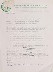

Search results from Open Library.
Recent natural events nearby
- Prescribed Fire CRAWFORD CORRAL RX, Tulare, CaliforniaWildfires · 2026-09-19 · 37 mi
- Wildfire CYRUS, Kern, CaliforniaWildfires · 2026-10-09 · 43 mi
- Wildfire PLAINS, San Luis Obispo, CaliforniaWildfires · 2026-08-12 · 70 mi
- Wildfire BUZZARD, Kern, CaliforniaWildfires · 2026-08-05 · 81 mi
- Wildfire RIDGE, Los Angeles, CaliforniaWildfires · 2026-08-07 · 89 mi
- Wildfire DOME, Mariposa, CaliforniaWildfires · 2026-09-15 · 109 mi
- Wildfire BOUQUET, Los Angeles, CaliforniaWildfires · 2026-10-03 · 110 mi
- Wildfire Plaskett, Monterey, CaliforniaWildfires · 2026-08-26 · 133 mi
Wildfires, storms and other events from NASA EONET (last 12 months, within 250 mi).
Ground air-quality sensors
Recently spotted species

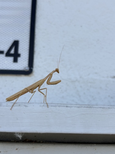
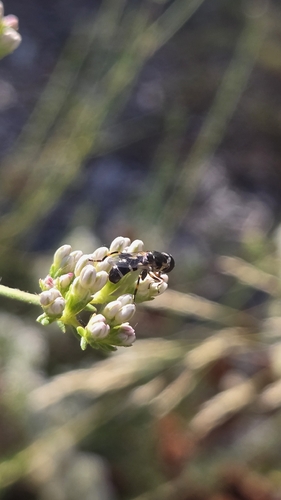
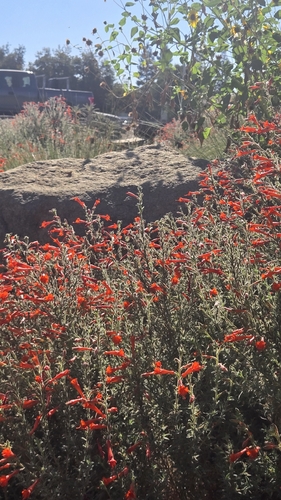
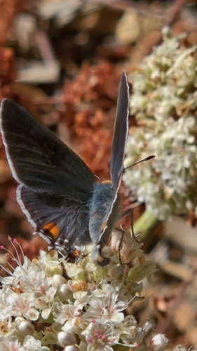
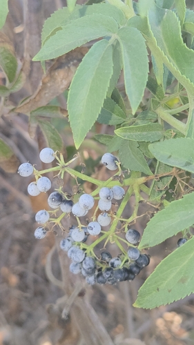
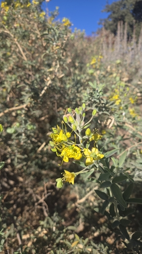
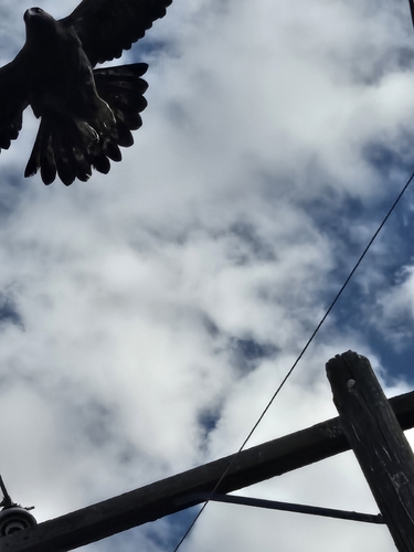
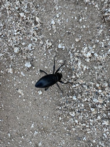
Research-grade observations from iNaturalist (within ~15 mi).
Nearest stream gauge
Events
Gallery
Sources
- • Wikipedia
- • US Census Bureau (ACS 5-year estimates)
- • NOAA National Weather Service
- • Wikidata
- • USGS Earthquake Catalog (global feed)
- • GBIF (Global Biodiversity Information Facility)
- • iNaturalist
- • Open-Meteo / sunrise-sunset.org
- • Wikipedia Pageviews API
- • Open Library
- • NASA EONET