Browse / Canada / Nova Scotia / Portree
Portree
Nova Scotiavillage
Demographic figures from Statistics Canada. Overview below cites Wikipedia and may reference a different year.
City facts
Facts from Wikidata (CC0).
Overview
Set in Nova Scotia, Canada, Portree is recorded in open geodata as a village. Coordinates of 46.400°, -60.968° situate Portree in the temperate zone of the northern hemisphere. Detailed population figures are not currently catalogued in the open data sources we track. The location receives about 1,177 kWh/m² of solar irradiance per year and sunshine for roughly 46% of daylight hours. Climatically, locations at this latitude tend to experience four distinct seasons with warm summers and cold winters. Continue scrolling for population, climate, environmental and points-of-interest data drawn from public sources.
Summary composed automatically from structured open data on this page. See our Terms for details.
History & geography
History
In the 1700s, the town was a popular point of departure for Scots sailing to America to escape poverty. This form of use repeated during the famine in the 1840s. Both times, the town was saved by an influx of boats, often going between mainland Scotland and the Outer Hebrides, who used Portree's pier as a rest point. The town also began exporting fish at this time, which contributed greatly to the local economy. The Royal Hotel is the site of MacNab's Inn, the last meeting place of Flora MacDonald and Bonnie Prince Charlie in 1746.
Excerpted from the corresponding Wikipedia article (CC BY-SA).
Geography
Coordinates & boundaries from the US Census TIGER/Line shapefiles.
Climate
Air quality
Walkability
Amenities nearby
Wildlife & biodiversity
Earthquake history
Photos
Sights & places nearby
Notable people from here
Geography & sun
Elevation, sunrise/sunset and daylight from Open-Meteo. Solar climatology from NASA POWER.
Nearby airports
Public attention
Pageview totals from the Wikimedia Pageviews API.
Books about this place
Recent natural events nearby
Ground air-quality sensors
Recently spotted species
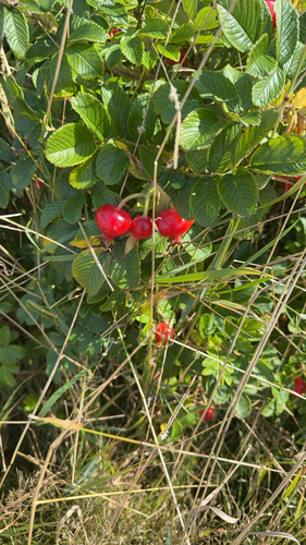
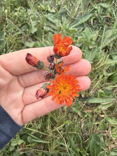
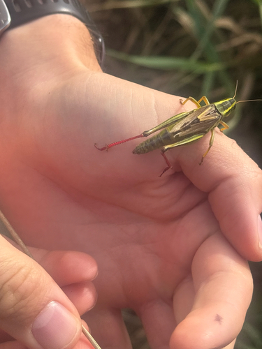
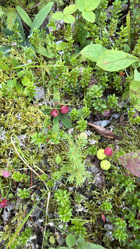
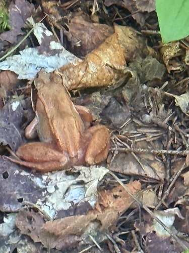
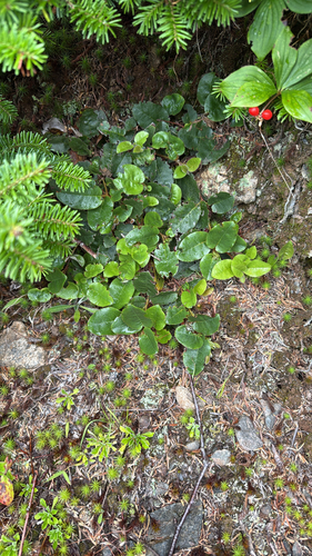
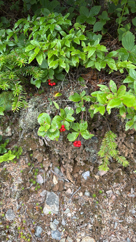
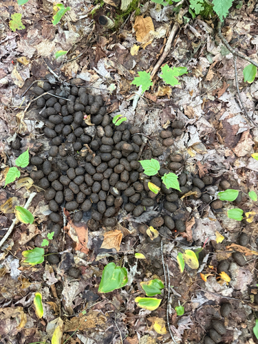
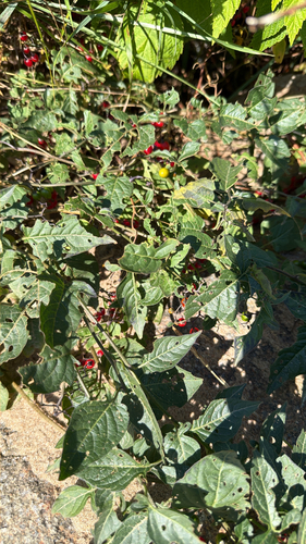
Research-grade observations from iNaturalist (within ~15 mi).
Events
Gallery
Sources
- • Wikipedia
- • Wikidata
- • iNaturalist
- • Open-Meteo / sunrise-sunset.org
- • Wikipedia Pageviews API