Browse / Canada / British Columbia / Powell River
Powell River
British Columbiacity

Powell River
Total population
13,157
Founded
1912
Demographic figures from Statistics Canada. Overview below cites Wikipedia and may reference a different year.
City facts
Facts from Wikidata (CC0).
Overview
Powell River is a city on the northern Sunshine Coast of southwestern British Columbia, Canada. Most of its population lives near the eastern shores of Malaspina Strait, which is part of the larger Georgia Strait between Vancouver Island and the Mainland. With two intervening long, steep-sided fjords inhibiting the construction of a contiguous road connection with Vancouver to the south, geographical surroundings explain Powell River's remoteness as a community, despite relative proximity to Vancouver and other populous areas of the BC Coast. The city is the location of the head office of the qathet Regional District.
Read more on WikipediaHistory & geography
History
The Powell River was named for Israel Wood Powell. Powell was B.C.'s first superintendent for Indian Affairs and a chief architect of colonial policies, including the establishment of residential schools in British Columbia and the banning of the potlatch. He was traveling up the coast of BC in 1881 and the river and lake were named after him. Powell was a supporter of B.C. being part of the union with Canada and brought the first Canadian flag to BC on June 17, 1871. Construction of the pulp mill was started in 1908, with a corresponding townsite company town commenced in 1910: the first roll of paper was produced at Powell River Mill in 1912. Similarly, large logging companies had earlier moved in to take advantage of the huge timber. Brooks, Scanlon & Obrien; Bloedel, Stewart and Welch; and Theodosia Logging were but a few logging companies, with the Brooks brothers (Dwight and Anson) and M.J. Scanlon forming the Powell River Company, western Canada's first pulp and paper mill. However, this isn't corroborated by the district's listing in the Canadian Register of Historic Places, and recent work has been addressed misconceptions surrounding Ebenezer Howard's Garden City concept. When the British Columbia Credit Unions Act was passed in 1939, a study club organized by local millworkers secured the first charter with a deposit of $48.30. The mill provided a small office space at very low rent in the early years. By 1955, when the Powell River Credit Union (now 'First Credit Union') moved into a permanent office, it had over 3,000 members and $1 million in assets. In March 1944, the former Canadian Steamships five-masted lumber schooner (and some-time rum runner) Malahat began taking on water while being towed in the Barkley Sound. She was then moved to Powell…
Geography
The city has an exceptional Mediterranean climate of the warm-summer type (Köppen: Csb), resulting in the most northerly location in the northern hemisphere, being that in Europe it is 5° further south. Although the hot season is dry, the vegetation reflects its location west of the mid-latitudes and who can describe the climate differently being situated within a temperate rainforest, On average, the CWH is the rainiest biogeoclimatic zone in British Columbia. The zone typically has a cool mesothermal climate: cool summers (although hot dry spells can be frequent) and mild winters. Mean annual temperature is about and ranges from among the CWH subzones. The mean monthly temperature is above for 4–6 months of the year. The mean temperature of the coldest month is and ranges from among the subzones. Mean annual precipitation for the zone as a whole is , and ranges from (and probably more in some areas). Less than 15% of total precipitation occurs as snowfall in the south, but as much as 40-50% in the northern parts of the zone.
Excerpted from the corresponding Wikipedia article (CC BY-SA).
Geography
Coordinates & boundaries from the US Census TIGER/Line shapefiles.
Climate
Air quality
Walkability
Amenities nearby
Wildlife & biodiversity
Earthquake history
Photos
Sights & places nearby
Notable people from here


People born within ~10 km, from Wikidata (CC0). Click any name for their Wikipedia article.
Nearby places in British Columbia
Geography & sun
Elevation, sunrise/sunset and daylight from Open-Meteo. Solar climatology from NASA POWER.
Nearby airports
Public attention
Pageview totals from the Wikimedia Pageviews API.
Books about Powell River
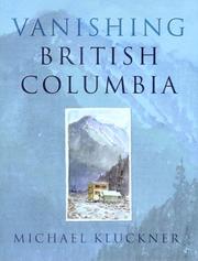
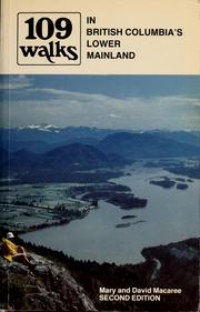

Search results from Open Library.
Recent natural events nearby
- Wildfire Electric, Whatcom, WashingtonWildfires · 2026-08-22 · 162 mi
- Wildfire Thunder Creek, Skagit, WashingtonWildfires · 2026-08-22 · 181 mi
- Wildfire SISI, Chelan, WashingtonWildfires · 2026-08-14 · 196 mi
- Wildfire KING, Kittitas, WashingtonWildfires · 2026-08-19 · 221 mi
- Wildfire GOAT, Kittitas, WashingtonWildfires · 2026-08-22 · 228 mi
- Wildfire SINLAHEKIN, Okanogan, WashingtonWildfires · 2026-07-26 · 231 mi
Wildfires, storms and other events from NASA EONET (last 12 months, within 250 mi).
Ground air-quality sensors
Recently spotted species
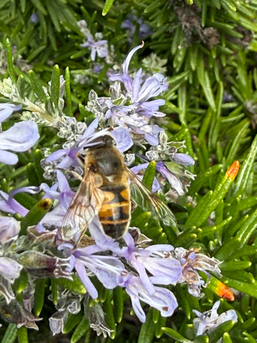
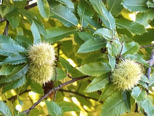
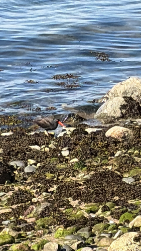
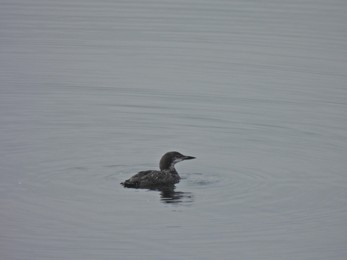
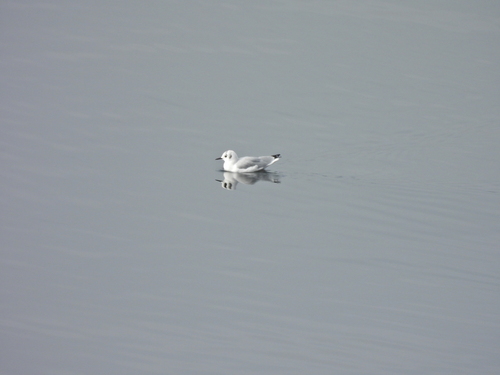
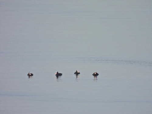
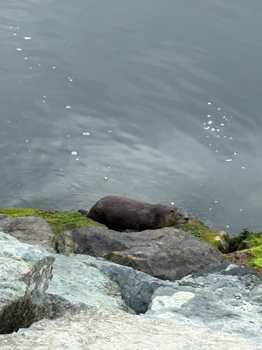
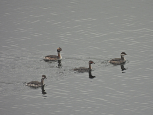
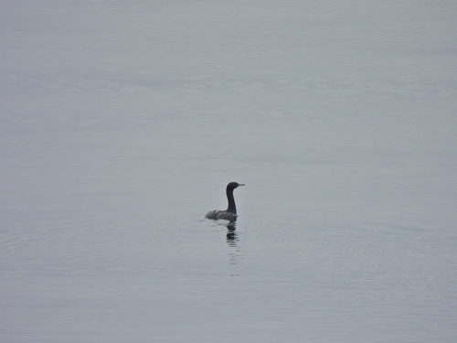
Research-grade observations from iNaturalist (within ~15 mi).
Events
Gallery
Official Identifiers
StatCan — Statistics Canada
- SGC code
- 5927008
- Population (Wikidata)
- 13,157
- Wikidata
- Q599678
Standard Geographical Classification (SGC) via Wikidata P3012
Sources
- • Wikipedia
- • Wikidata
- • iNaturalist
- • Open-Meteo / sunrise-sunset.org
- • Wikipedia Pageviews API
- • Open Library
- • NASA EONET
- • StatCan — Statistics Canada — Standard Geographical Classification (SGC) via Wikidata P3012