Browse / United States / California / Rancho Calaveras
Rancho Calaveras
CaliforniaCDP

Rancho Calaveras
Total population
7,131
Air quality index
Demographic figures from US Census Bureau · ACS 5-year estimates. Overview below cites Wikipedia and may reference a different year.
- Heat Advisory · ModerateHeat Advisory issued October 1 at 9:34AM PDT until October 5 at 10:00PM PDT by NWS Sacramento CA
Source: NOAA National Weather Service.
City facts
Facts from Wikidata (CC0).
Overview
Rancho Calaveras is a census-designated place (CDP) in Calaveras County, California, United States. The population was 5,590 at the 2020 census, up from 5,325 at the 2010 census.
Read more on WikipediaHistory & geography
Geography
According to the United States Census Bureau, the CDP has a total area of , of which 99.65% is land and 0.35% is water. Rancho Calaveras has a hot-summer Mediterranean climate (Köppen Csa) typical of the Sierra Nevada foothills. Winters are cool and wet with mild days, chilly nights, and substantial rainfall. Summers are hot and dry with very hot days, cool nights, and minimal rainfall. Due to the orographic effect, rainfall in all seasons is significantly greater than on the valley floor to the west.
Excerpted from the corresponding Wikipedia article (CC BY-SA).
Demographics & economy
Geography
Coordinates & boundaries from the US Census TIGER/Line shapefiles.
Climate
Current forecast
Forecast for Rancho Calaveras, CA from NOAA NWS API.
Air quality
Current readings from Open-Meteo Air Quality API (Copernicus CAMS European reanalysis).
Industrial & pollution facilities
Natural hazard risk
Health (adults)
Walkability
Amenities nearby
Wildlife & biodiversity
Most-observed species
- Turkey VultureCathartes aura (Linnaeus, 1758) · Aves2,554
- Red-tailed HawkButeo jamaicensis (Gmelin, 1788) · Aves2,154
- Canada Goose (canadensis Group)Branta canadensis (Linnaeus, 1758) · Aves2,122
- Common RavenCorvus corax Linnaeus, 1758 · Aves2,017
- Black PhoebeSayornis nigricans (Swainson, 1827) · Aves2,010
- California/Woodhouse's Scrub-JayAphelocoma californica (Vigors, 1839) · Aves1,985
- European StarlingSturnus vulgaris Linnaeus, 1758 · Aves1,950
- Acorn WoodpeckerMelanerpes formicivorus (Swainson, 1827) · Aves1,842
Citizen-science & research observations from the Global Biodiversity Information Facility (GBIF).
Schools
Earthquake history
Photos
Sights & places nearby
Notable people from here
Nearby places in California
Geography & sun
Elevation, sunrise/sunset and daylight from Open-Meteo. Solar climatology from NASA POWER.
Nearby airports
Public attention
Pageview totals from the Wikimedia Pageviews API.
Books about this place
Recent natural events nearby
- Wildfire GANN, Calaveras, CaliforniaWildfires · 2026-08-03 · 5 mi
- Wildfire DOME, Mariposa, CaliforniaWildfires · 2026-09-15 · 78 mi
- Wildfire FLORISTON, Nevada, CaliforniaWildfires · 2026-09-16 · 98 mi
- Wildfire Hawk, Washoe, NevadaWildfires · 2026-08-22 · 109 mi
- Wildfire Hawk, Washoe, NevadaWildfires · 2026-08-22 · 109 mi
- Wildfire Bug, Lassen, CaliforniaWildfires · 2026-08-08 · 119 mi
- Wildfire Fred Mt, Washoe, NevadaWildfires · 2026-08-09 · 125 mi
- Wildfire Stallion, Washoe, NevadaWildfires · 2026-08-10 · 137 mi
Wildfires, storms and other events from NASA EONET (last 12 months, within 250 mi).
Ground air-quality sensors
Recently spotted species
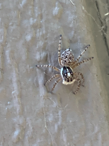
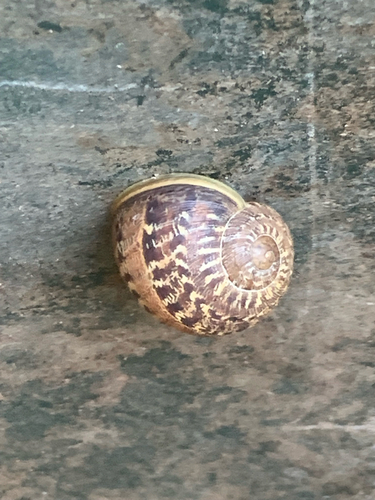
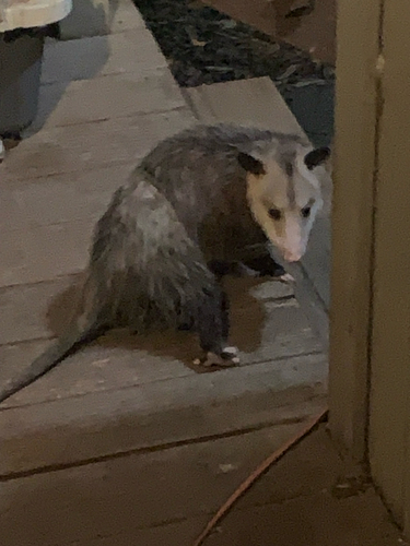
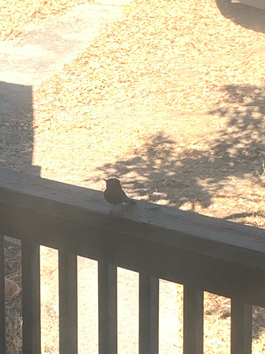
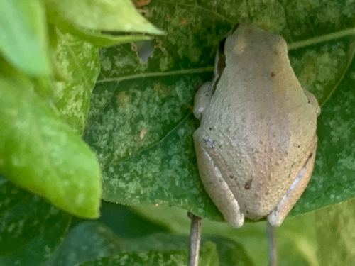
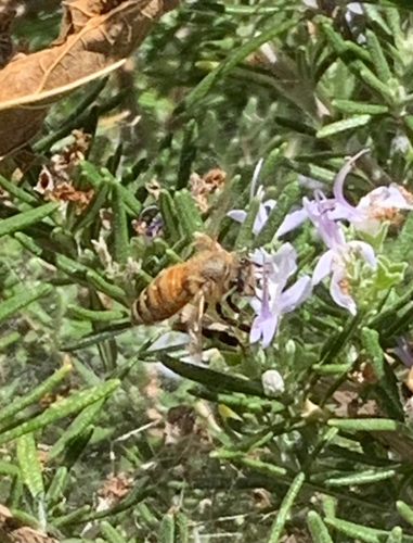
Research-grade observations from iNaturalist (within ~15 mi).
Nearest stream gauge
Live readings from USGS NWIS · measured 2026-10-01 16:45 UTC.
Events
Gallery
Sources
- • Wikipedia
- • NOAA National Weather Service
- • Wikidata
- • Open-Meteo Air Quality (CAMS)
- • USGS NWIS (water data)
- • GBIF (Global Biodiversity Information Facility)
- • iNaturalist
- • Open-Meteo / sunrise-sunset.org
- • Wikipedia Pageviews API
- • NASA EONET