Browse / United States / California / Rancho Murieta
Rancho Murieta
CaliforniaCDP

Rancho Murieta
Total population
5,875
Median home value
$715,700
Bachelor's+
Median income
$140,061
Demographic figures from US Census Bureau · ACS 5-year estimates. Overview below cites Wikipedia and may reference a different year.
City facts
Facts from Wikidata (CC0).
Overview
Rancho Murieta is a census-designated place (CDP) and guard-gated community in Sacramento County, California, United States. It is part of the Sacramento–Arden-Arcade–Roseville Metropolitan Statistical Area. The population was 5,903 at the 2020 census, up from 5,488 at the 2010 census. It is located in the foothills of the Sierra Nevada range, about 25 miles (40 km) east of Sacramento.
Read more on WikipediaHistory & geography
Geography
According to the United States Census Bureau, the CDP has a total area of , of which is land and (1.50%) is water. The principal east–west access route is California State Route 16, also known as Jackson Road (or the Jackson Highway), which connects Rancho Murieta with the Sacramento metropolitan area to its west and to Amador County and the world-famous Shenandoah wine regions to the east. Rancho Murieta contains three reservoirs including Calero, Chesbro, and Clementia which pump in water from the nearby Consumnes River.
Excerpted from the corresponding Wikipedia article (CC BY-SA).
Demographics & economy
Race & ethnicity
Source: US Census Bureau — American Community Survey, 5-year estimates.
Geography
Coordinates & boundaries from the US Census TIGER/Line shapefiles.
Climate
Current forecast
Forecast for Rancho Murieta, CA from NOAA NWS API.
Air quality
Industrial & pollution facilities
Natural hazard risk
Health (adults)
Age-adjusted prevalence estimates from CDC PLACES (latest release).
Walkability
Amenities nearby
Wildlife & biodiversity
Schools
Largest nearby schools
- Sunrise ElementaryElementary · Rancho Cordova · 966 students · 24.1:1 ratio
- Robert J. McGarvey ElementaryElementary · Rancho Cordova · 845 students · 25.6:1 ratio
- Mangini Ranch ElementaryElementary · Folsom · 607 students · 23.3:1 ratio
- Cosumnes River ElementaryElementary · Sloughhouse · 361 students · 24.1:1 ratio
Public K–12 schools within ~10 mi from Urban Institute Education Data Portal (NCES Common Core of Data, 2022).
Earthquake history
Photos
Sights & places nearby
Notable people from here
Geography & sun
Elevation, sunrise/sunset and daylight from Open-Meteo. Solar climatology from NASA POWER.
Nearby airports
Public attention
Pageview totals from the Wikimedia Pageviews API.
Books about this place
Recent natural events nearby
- Wildfire GANN, Calaveras, CaliforniaWildfires · 2026-08-03 · 31 mi
- Wildfire FLORISTON, Nevada, CaliforniaWildfires · 2026-09-16 · 84 mi
- Wildfire Hawk, Washoe, NevadaWildfires · 2026-08-22 · 94 mi
- Wildfire Hawk, Washoe, NevadaWildfires · 2026-08-22 · 94 mi
- Wildfire Bug, Lassen, CaliforniaWildfires · 2026-08-08 · 101 mi
- Wildfire DOME, Mariposa, CaliforniaWildfires · 2026-09-15 · 102 mi
- Wildfire Fred Mt, Washoe, NevadaWildfires · 2026-08-09 · 109 mi
- Wildfire LUCAS, Lake, CaliforniaWildfires · 2026-09-10 · 115 mi
Wildfires, storms and other events from NASA EONET (last 12 months, within 250 mi).
Ground air-quality sensors
Recently spotted species
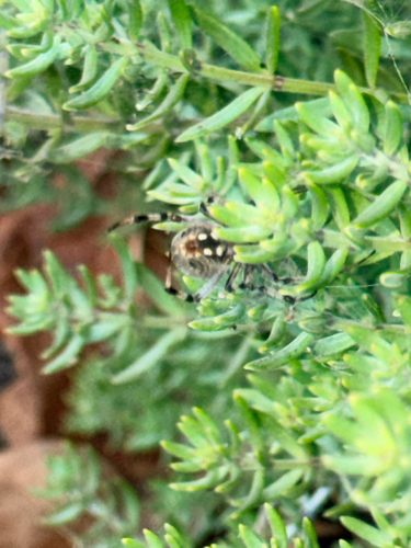
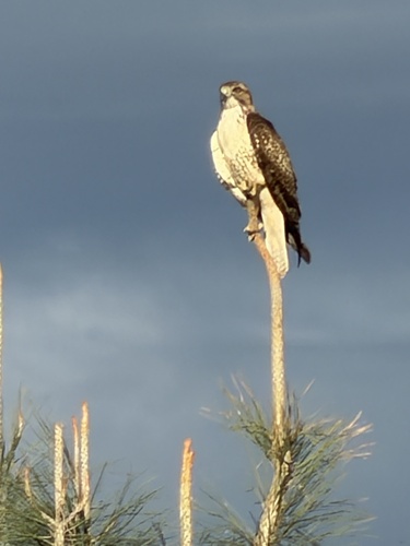
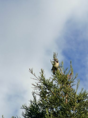
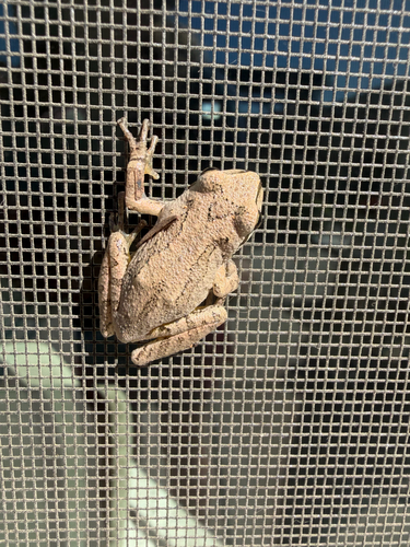
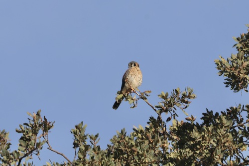
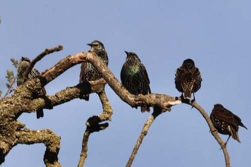
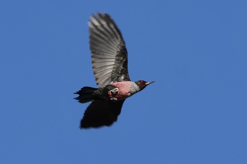
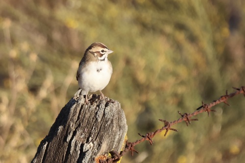
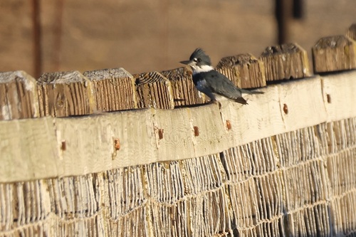
Research-grade observations from iNaturalist (within ~15 mi).
Nearest stream gauge
Live readings from USGS NWIS · measured 2026-10-01 16:30 UTC.
Events
Gallery
Sources
- • Wikipedia
- • US Census Bureau (ACS 5-year estimates)
- • NOAA National Weather Service
- • Wikidata
- • USGS NWIS (water data)
- • NCES via Urban Institute Education Data Portal
- • iNaturalist
- • CDC PLACES
- • Open-Elevation
- • Open-Meteo / sunrise-sunset.org
- • Wikipedia Pageviews API
- • NASA EONET