Browse / Canada / Nunavut / ᑲᖏᕿᓂᖅ Rankin Inlet
ᑲᖏᕿᓂᖅ Rankin Inlet
Nunavuttown

ᑲᖏᕿᓂᖅ Rankin Inlet
Total population
2,577
Demographic figures from Statistics Canada. Overview below cites Wikipedia and may reference a different year.
City facts
Facts from Wikidata (CC0).
Overview
Rankin Inlet, which fronts to Hudson Bay, is an Inuit hamlet on the Kudlulik Peninsula in Nunavut, Canada. It is the largest hamlet and second-largest settlement in Nunavut after the territorial capital, Iqaluit. Rankin Inlet is the regional centre for the Kivalliq Region. It is also the largest settlement in mainland Nunavut.
Read more on WikipediaHistory & geography
History
Archaeological sites suggest the area was inhabited around 1200 CE by Thule people who were bowhead whale hunters. By the late 18th century, they were succeeded by Kivallirmiut (Caribou Inuit) who hunted the inland barren-ground caribou, and fished for Arctic char along the coast, as well as the Diane River and Meliadine River. The Hudson's Bay Company (HBC) established itself throughout the bay in the 17th century, and after 1717, sloops from Churchill, Manitoba traded north to Rankin Inlet and beyond. There was an unfortunate expedition shipwrecked on Marble Island, east of Rankin Inlet: James Knight's expedition died on the island around 1722. It was surveyed by William Moor in 1747. HBC contact was followed in the mid-19th century by American and European whalers, who were followed by fur traders trapping Arctic foxes for their skins in the early 20th century, followed by missionaries who brought a written language system. The town itself was founded by the owners of the Rankin Inlet Mine, just north of Johnston Cove. Starting in 1957, the mine produced nickel and copper ores from an underground operation. The mine was the first case of Inuit miners in Canada. When the mine closed in 1962, Rankin Inlet had a population of approximately 500 Inuit, and 70-80% had been mine workers. Several unsuccessful attempts followed to develop alternate sources of income for the town. These included a pig ranch in 1969 and a chicken-raising venture in the 1970s. Both animal groups were fed a diet of local fish, which gave the meat an unpleasant flavour. It was also common for the animals to freeze to death or be eaten by polar bears. The Meliadine Gold Mine operated by Agnico Eagle opened in 2019 and is expected to produce until at least 2032. It is the second mine opened…
Geography
Rankin Inlet is notable for the chilling wind, severe winter storms, and water resources. The Diana River empties from the north into the hamlet's namesake inlet. The Kivalliq Region has several lakes, the largest being Nipissa Lake, and is flanked by two bays, Melvin Bay on the west and Prairie Bay on the east. Paniqtoq Peninsula, on the inlet's far western shore, provides a barrier shelter for the smaller Kivalliq Region. Dozens of islands dot the inlet, including Thomson Island, the largest, and the Barrier Islands, the longest chain. These natural resources attract tourists who hunt, fish, and canoe. The Iqalugaarjuup Nunanga Territorial Park, northwest of Rankin Inlet, is notable for hiking, fishing, bird watching and Thule archaeological sites. Rankin Inlet has a subarctic climate (Köppen: Dfc; Trewartha: Ecld), just short of a tundra climate. It is above the tree line. Temperatures stay below freezing from late September to early June. Although the climate is subarctic, temperatures rise and fall too rapidly and do not stay above for long enough (30 days) for trees to grow. Under the alternate formula for determining the boundary between Arctic and subarctic climates posited by Otto Nordenskjöld, however, Rankin Inlet, along with Arviat and Baker Lake, qualify as Arctic based on the relationship between the temperatures of the coldest and warmest months; in the case of Rankin Inlet, with a coldest-month (January) mean of , said boundary for the warmest month would be using the Nordenskjöld formula and Rankin Inlet's warmest month (July) averages only . Beginning on 16 January 2008, Rankin Inlet endured the longest recorded blizzard in Canada. Wind speed was or above, with gusts to , and wind chill values were as low as . This blizzard lasted…
Excerpted from the corresponding Wikipedia article (CC BY-SA).
Geography
Coordinates & boundaries from the US Census TIGER/Line shapefiles.
Climate
Air quality
Walkability
Amenities nearby
Wildlife & biodiversity
Earthquake history
Photos
Sights & places nearby
Notable people from here


People born within ~10 km, from Wikidata (CC0). Click any name for their Wikipedia article.
Geography & sun
Nearby airports
Public attention
Books about this place
Recent natural events nearby
Ground air-quality sensors
Recently spotted species
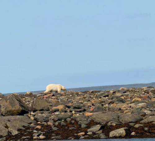
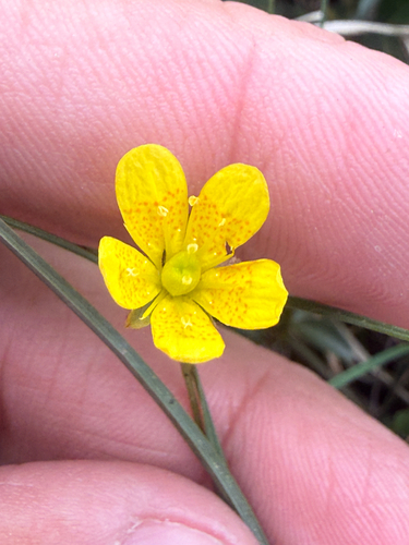
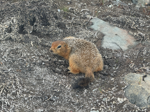
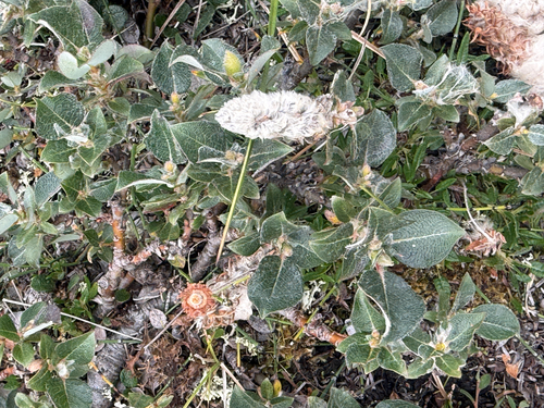
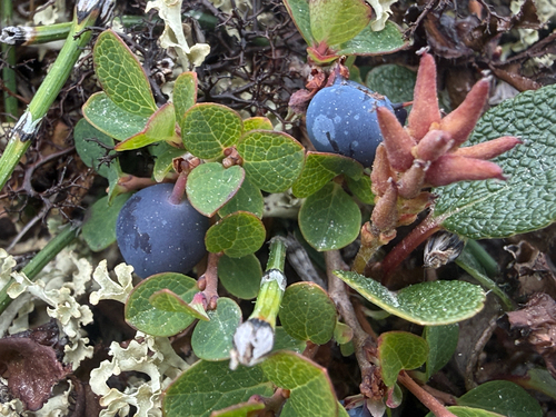
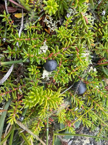
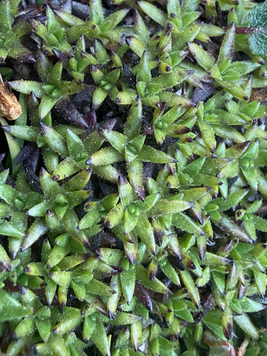
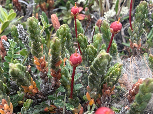
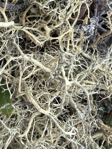
Research-grade observations from iNaturalist (within ~15 mi).
Events
Gallery
Official Identifiers
StatCan — Statistics Canada
- SGC code
- 6205017
- Population (Wikidata)
- 2,975
- Wikidata
- Q1021766
Standard Geographical Classification (SGC) via Wikidata P3012
Sources
- • Wikipedia
- • Wikidata
- • iNaturalist
- • StatCan — Statistics Canada — Standard Geographical Classification (SGC) via Wikidata P3012