Browse / Canada / Alberta / Red Deer
Red Deer
Albertacity

Red Deer
Total population
100,418
Founded
1882
Demographic figures from Statistics Canada. Overview below cites Wikipedia and may reference a different year.
City facts
Facts from Wikidata (CC0).
Overview
Red Deer is a city in Alberta, Canada, located alongside the Red Deer River, midway on the Calgary–Edmonton Corridor. Red Deer is Alberta's third-largest city, after Calgary and Edmonton, with a slightly higher population than Lethbridge.
Read more on WikipediaHistory & geography
History
The area was inhabited by First Nations including the Blackfoot, Plains Cree and Stoney before the arrival of European fur traders in the late eighteenth century. A First Nations trail ran from the Montana Territory across the Bow River near present-day Calgary and on to Fort Edmonton, later known as the Calgary and Edmonton Trail. The trail crossed the Red Deer River at a wide, stony shallows. The "Old Red Deer Crossing" is upstream from the present-day city. Cree people called the river , which means "Elk River". European arrivals sometimes called North American elk "red deer", after the related Eurasian species, and later named the community after the river. The name for the modern city in Plains Cree is a calque of the English name (, literally "red type of deer"), while the name of the river itself is still or "elk river". First Nations on the north side of the river entered into Treaty 6 in 1876 and on the south side Treaty 7 in 1877. Farmers and ranchers began to settle on the fertile lands. A trading post and stopping house were built at the Crossing in 1882. This became Fort Normandeau during the 1885 North-West Rebellion. ;Leonard Gaetz Leonard Gaetz gave a half-share of he had acquired to the Calgary and Edmonton Railway to develop a bridge over the river and a townsite. As a result, the Crossing was gradually abandoned. The first trains arrived in 1891. ;1900 to 1929 Following World War I, Red Deer emerged as a small, quiet, but prosperous, prairie city. Bird watcher Elsie Cassels helped to establish the Gaetz Lakes bird sanctuary. ;1930 to 1945 During Great Depression of the 1930s, Central Alberta was not hit by severe drought. The city was virtually debt-free and profited from its ownership of the local public utilities. In World War II, a…
Geography
Red Deer has a humid continental climate (Köppen Dfb), with something of a semi-arid influence due to the city's location within Palliser's Triangle. The highest temperature ever recorded in Red Deer was on 8 July 1906, Summers are typically warm and rainy with cool nights. Winters are typically long, cold, and very dry. The city is in aspen parkland, a region of rolling hills. Red Deer includes the following neighbourhoods: * Anders Park * Anders Park East * Anders South * Aspen Ridge * Bower * Bower Ponds Recreation Area * Central Park * Chiles Industrial Park * Clearview Extension * Clearview Meadows * Clearview Ridge * College Park * Davenport * Deer Park Estates * Deer Park Village * Devonshire * Downtown * East Burnt Lake * Eastview * Eastview Estates * Edgar Industrial Park * Evergreen * Fairview * Gaetz Lakes Sanctuary * Garden Heights * Glendale * Glendale Park Estates * Golden West * Grandview * Heritage Ranch * Highland Green * Highland Green Estates * Inglewood * Ironstone * Johnstone Crossing * Johnstone Park * Kentwood East * Kentwood West * Kingsgate * Lancaster Green * Lancaster Meadows * Laredo * Lonsdale * Maskepetoon Park * McKenzie Trail Recreation Area * Michener Hill * Morrisroe * Morrisroe Extension * Mountview * Normandeau * Northlands Industrial Park * Oriole Park * Oriole Park West * Parkvale * Pines * Queens Business Park *Red Deer College *Red Deer Golf and Country Club *Riverlands *Riverside Heavy Industrial Park *Riverside Light Industrial Park *Riverside Meadows *Rosedale Estates *Rosedale Meadows * South Hill * Southbrook * Southpointe Junction * Sunnybrook * Sunnybrook Extension * Three Mile Bend Recreation Area * Timber Ridge * Timberlands * Timberstone * Vanier Woods * Vanier Woods East * Waskasoo * Waste Management Facility * West…
Excerpted from the corresponding Wikipedia article (CC BY-SA).
Geography
Coordinates & boundaries from the US Census TIGER/Line shapefiles.
Climate
Air quality
Walkability
Amenities nearby
Wildlife & biodiversity
Most-observed species
- Black-capped ChickadeePoecile atricapillus (Linnaeus, 1766) · Aves5,366
- Black-billed MagpiePica hudsonia (Sabine, 1823) · Aves5,027
- MallardAnas platyrhynchos Linnaeus, 1758 · Aves4,471
- Canada Goose (canadensis Group)Branta canadensis (Linnaeus, 1758) · Aves4,441
- American CrowCorvus brachyrhynchos C.L.Brehm, 1822 · Aves3,916
- American RobinTurdus migratorius Linnaeus, 1766 · Aves3,647
- Downy WoodpeckerDryobates pubescens (Linnaeus, 1766) · Aves3,212
- House SparrowPasser domesticus (Linnaeus, 1758) · Aves2,979
Citizen-science & research observations from the Global Biodiversity Information Facility (GBIF).
Earthquake history
Most recent
- M 3.9 — 2019-03-1037 km N of Rocky Mountain House, Canada
- M 3.8 — 2019-03-049 km NW of Red Deer, Canada
- M 3.5 — 2015-06-0210 km NW of Rocky Mountain House, Canada
- M 3.8 — 2014-08-0927 km SW of Rocky Mountain House, Canada
Events from the USGS Earthquake Catalog (global) (FDSN Event Web Service).
Photos
Sights & places nearby
Notable people from here


People born within ~10 km, from Wikidata (CC0). Click any name for their Wikipedia article.
Nearby places in Alberta
- Blackfalds7.9 mi away
- Sylvan Lake12.3 mi away
- Bentley Hutterite Colony12.5 mi away
- Norglenwold13.2 mi away
- Pine Hill Hutterite Colony13.8 mi away
- Bentley16.9 mi away
- Sunbreaker Cove18.2 mi away
- Rainbow Hutterite Colony22.6 mi away
- Alix Hutterite Colony29.1 mi away
- Withrow30.5 mi away
- May City Hutterite Colony31.7 mi away
- Leedale Hutterite Colony33.5 mi away
Geography & sun
Elevation, sunrise/sunset and daylight from Open-Meteo. Solar climatology from NASA POWER.
Nearby airports
Public attention
Pageview totals from the Wikimedia Pageviews API.
Books about Red Deer


Search results from Open Library.
Recent natural events nearby
Ground air-quality sensors
Recently spotted species
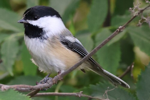
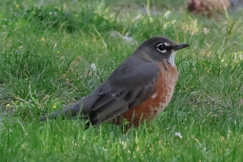
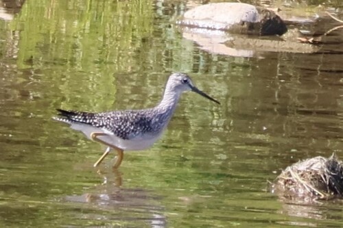
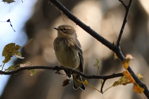
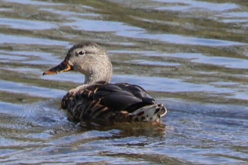
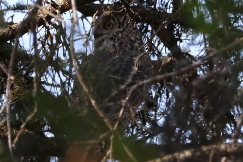
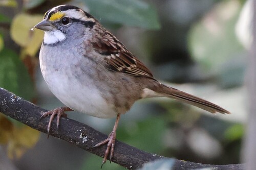
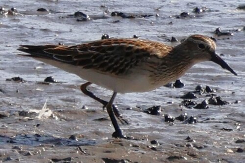
Research-grade observations from iNaturalist (within ~15 mi).
Events
Gallery
Official Identifiers
StatCan — Statistics Canada
- SGC code
- 4808011
- Population (Wikidata)
- 100,418
- Wikidata
- Q23025
Standard Geographical Classification (SGC) via Wikidata P3012
Sources
- • Wikipedia
- • Wikidata
- • USGS Earthquake Catalog (global feed)
- • GBIF (Global Biodiversity Information Facility)
- • iNaturalist
- • Open-Meteo / sunrise-sunset.org
- • Wikipedia Pageviews API
- • Open Library
- • StatCan — Statistics Canada — Standard Geographical Classification (SGC) via Wikidata P3012