Browse / United States / California / Redding
Redding
Californiacity

Redding
Total population
93,509
Median home value
$395,100
Bachelor's+
Median income
$70,992
Founded
1887
Air quality index
Demographic figures from US Census Bureau · ACS 5-year estimates. Overview below cites Wikipedia and may reference a different year.
City facts
Facts from Wikidata (CC0).
Overview
Redding is a city in and the county seat of Shasta County, California, United States, and the economic and cultural capital of the Shasta Cascade region of Northern California. Redding lies along the Sacramento River, 162 miles (261 km) north of Sacramento, and 120 miles (190 km) south of California's northern border with Oregon. Its population was 93,611 at the 2020 census.
Read more on WikipediaHistory & geography
History
The area is inhabited by a tribe of Native Americans called the Wintu. At their height, the Wintu had as many as 239 villages in the Shasta County area. Although Europeans had been to California as early as 1542, when Juan Cabrillo sailed to what is now San Diego Bay, indigenous natives long remained the only inhabitants of the Northern California region. The first European settlement in the area was established in 1844 by Pierson B. Reading, an early California pioneer who received a Rancho Buena Ventura Mexican land grant for that is now covered by Redding and Cottonwood, California. At the time, it was the northernmost nonnative settlement in California. During the Gold Rush, 49ers found gold to the north on Rock, Middle and Salt creeks, near Shasta, California, and to the south along Oregon and Olney creeks but the area that is now Redding was poor placer gold ground and called Poverty Flats. In 1868 the first land agent for the Central Pacific Railroad, a former Sacramento politician named Benjamin B. Redding, bought property in Poverty Flats on behalf of the railroad for a northern terminus, which the tracks reached in 1872. In the process of building the terminus, the railroad also built the town of Redding which was officially incorporated on October 4, 1887. In 1888, Redding won the county seat from Shasta. In the early twentieth century the town's economic growth was spurred by the significant copper and iron mineral extraction industry nearby. The mining industry eventually declined, causing the economy and population to falter by 1920. It recovered in the thirties as the economy boomed due to the construction of Shasta Dam to the northwest. The building of the dam, which was completed in 1945, caused Redding's population to nearly double, also spurring…
Geography
According to the United States Census Bureau, the city has a total area of , of which is land and (2.50%) is beneath water. Redding is located at the very northwestern end of the Central Valley, which transitions into the Cascade foothills. The city is surrounded by mountains to the north, east, and west and fertile farm land to the south. Outermost parts of the city are part of the Cascade foothills, whereas southern and central areas are in the Sacramento Valley. The elevation in Redding is on average, whereas anywhere to the north, east, or west of downtown ranges between . Southern portions range between . The Shasta Dam on the Sacramento River provides a considerable level of flood protection for Redding. The dam is capable of controlling flows up to 79,000 cubic feet (7,300 cubic meters) per second. The flow rate exceeded this threshold in both 1970 and 1974. Soils in and around town are composed mostly of clay or gravelly loam texture, with red or brown mineral horizons. They are slightly or moderately acidic in their natural state. There are several rare and endangered species in Redding and its immediate vicinity. The Redding Redevelopment Plan EIR notes the California State listed endangered species, slender Orcutt grass (Orcuttia tenuis), occurs in eastern Redding near the municipal airport, where vernal pools are known to exist. This endemic grass is a Federal Candidate for listing and is endangered throughout its range, confined to several populations, and seriously threatened by agriculture, overgrazing, and residential development. Vernal pools provide the preferred habitat for this plant, which the California Native Plant Society considers a rare and endangered species. These same vernal pools also support federally protected species such as…
Excerpted from the corresponding Wikipedia article (CC BY-SA).
Demographics & economy
Race & ethnicity
Source: US Census Bureau — American Community Survey, 5-year estimates.
Geography
Coordinates & boundaries from the US Census TIGER/Line shapefiles.
Climate
Current forecast
Forecast for Redding, CA from NOAA NWS API.
Air quality
Current readings from Open-Meteo Air Quality API (Copernicus CAMS European reanalysis).
Industrial & pollution facilities
Natural hazard risk
Health (adults)
Age-adjusted prevalence estimates from CDC PLACES (latest release).
Walkability
Amenities nearby
Wildlife & biodiversity
Most-observed species
- California/Woodhouse's Scrub-JayAphelocoma californica (Vigors, 1839) · Aves8,467
- Oak TitmouseBaeolophus inornatus (Gambel, 1845) · Aves6,998
- Anna's HummingbirdCalypte anna (R.Lesson, 1829) · Aves6,810
- House FinchHaemorhous mexicanus (P.L.Statius Müller, 1776) · Aves6,331
- Turkey VultureCathartes aura (Linnaeus, 1758) · Aves6,194
- Acorn WoodpeckerMelanerpes formicivorus (Swainson, 1827) · Aves6,096
- Lesser GoldfinchSpinus psaltria (Say, 1822) · Aves5,681
- White-breasted NuthatchSitta carolinensis Latham, 1790 · Aves5,569
Citizen-science & research observations from the Global Biodiversity Information Facility (GBIF).
Schools
Largest nearby schools
- Foothill HighHigh · Palo Cedro · 1,398 students · 24.5:1 ratio
- Shasta HighHigh · Redding · 1,333 students · 21.5:1 ratio
- Enterprise HighHigh · Redding · 1,109 students · 20.5:1 ratio
- University PreparatoryHigh · Redding · 1,013 students · 22:1 ratio
- Boulder Creek ElementaryElementary · Redding · 874 students · 23:1 ratio
- Turtle BayElementary · Redding · 745 students · 24.8:1 ratio
- Mistletoe ElementaryElementary · Redding · 644 students · 23:1 ratio
- Grant ElementaryElementary · Redding · 643 students · 19.5:1 ratio
Public K–12 schools within ~10 mi from Urban Institute Education Data Portal (NCES Common Core of Data, 2022).
Earthquake history
Most recent
- M 2.65 — 2026-09-1922 km ENE of Red Bluff, CA
- M 2.72 — 2026-09-025 km W of Hamilton City, CA
- M 2.55 — 2026-08-1828 km NW of Weaverville, CA
- M 2.54 — 2026-08-119 km E of Rancho Tehama Reserve, CA
- M 2.7 — 2026-08-064 km SSE of Anderson, CA
- M 2.57 — 2026-07-1711 km ESE of Burney, CA
Events from the USGS Earthquake Catalog (global) (FDSN Event Web Service).
Photos
Sights & places nearby
Notable people from here


People born within ~10 km, from Wikidata (CC0). Click any name for their Wikipedia article.
Geography & sun
Elevation, sunrise/sunset and daylight from Open-Meteo. Solar climatology from NASA POWER.
Nearby airports
Public attention
Pageview totals from the Wikimedia Pageviews API.
Books about Redding
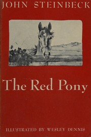
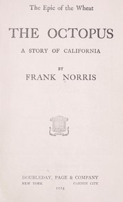
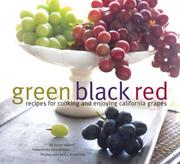

Search results from Open Library.
Recent natural events nearby
- Prescribed Fire SRF 2026 Rx Implementation, Humboldt, CaliforniaWildfires · 2026-10-12 · 79 mi
- Wildfire MP18, Humboldt, CaliforniaWildfires · 2026-08-07 · 79 mi
- Wildfire LUCAS, Lake, CaliforniaWildfires · 2026-09-10 · 98 mi
- Wildfire LUCAS, Lake, CaliforniaWildfires · 2026-09-10 · 98 mi
- Wildfire Fielder Mtn, Jackson, OregonWildfires · 2026-08-13 · 135 mi
- Wildfire Wrights Spring, Klamath, OregonWildfires · 2026-08-05 · 135 mi
- Wildfire Bug, Lassen, CaliforniaWildfires · 2026-08-08 · 136 mi
- Wildfire Fred Mt, Washoe, NevadaWildfires · 2026-08-09 · 144 mi
Wildfires, storms and other events from NASA EONET (last 12 months, within 250 mi).
Ground air-quality sensors
Recently spotted species
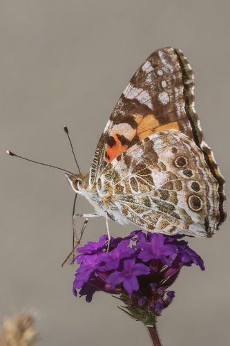
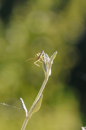
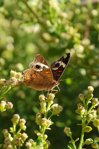
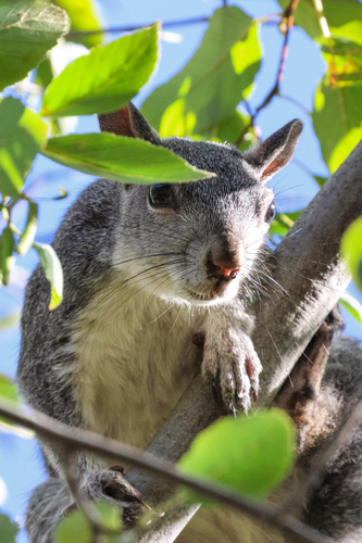
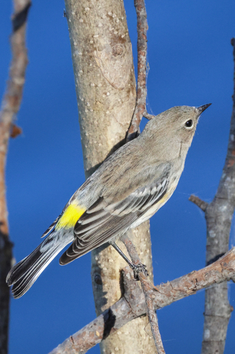
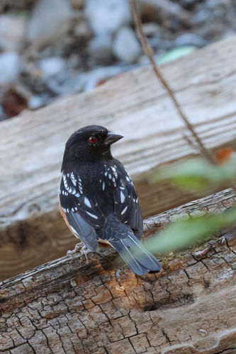
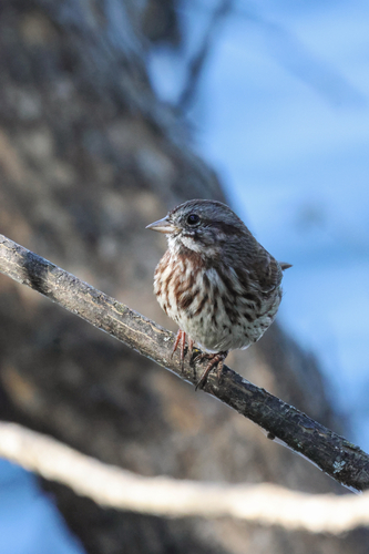
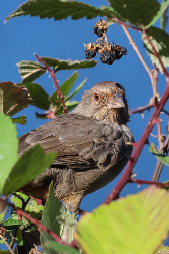
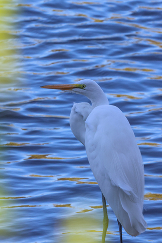
Research-grade observations from iNaturalist (within ~15 mi).
Nearest stream gauge
Events
Gallery
Sources
- • Wikipedia
- • US Census Bureau (ACS 5-year estimates)
- • NOAA National Weather Service
- • Wikidata
- • Open-Meteo Air Quality (CAMS)
- • USGS Earthquake Catalog (global feed)
- • NCES via Urban Institute Education Data Portal
- • GBIF (Global Biodiversity Information Facility)
- • iNaturalist
- • CDC PLACES
- • Open-Elevation
- • Open-Meteo / sunrise-sunset.org
- • Wikipedia Pageviews API
- • Open Library
- • NASA EONET