Browse / United States / California / Reedley
Reedley
Californiacity

Reedley
Total population
25,609
Founded
1913
Demographic figures from US Census Bureau · ACS 5-year estimates. Overview below cites Wikipedia and may reference a different year.
- Heat Advisory · ModerateHeat Advisory issued October 1 at 9:30AM PDT until October 4 at 10:00PM PDT by NWS Hanford CA
Source: NOAA National Weather Service.
City facts
Facts from Wikidata (CC0).
Overview
Reedley is a city in Fresno County, California, United States. It is located in the San Joaquin Valley, 22 miles (35 km) east-southeast of Fresno, at an elevation of 348 feet (106 m). The population at the 2020 census was 25,227. Its chief economic source is agriculture, particularly fruit and vegetable cultivation and has thus dubbed itself "The World's Fruit Basket". Reedley is situated along the Kings River, downstream from Centerville.
Read more on WikipediaHistory & geography
History
In the mid-1800s, American Civil War Union veteran Thomas Law Reed settled in Reedley to grow wheat for Gold Rush miners. His donation of land for a railroad station site established the town as the center of the San Joaquin Valley's booming wheat industry. Southern Pacific Railroad officials commemorated his donation by naming the depot in his honor, which the city itself then adopted. When gold mining fever began to fade, wheat demand slackened. Water from the Kings River was diverted for crop irrigation, and the region's agriculture diversified to include fruits, including grapes, figs, and peaches. With the establishment of water and railroad services, farming families of European immigrants were recruited, and the settlement was incorporated in 1913, with Ordinance No. 1 adopting and prescribing the style of a Common Seal on February 25, 1913. That same year, the city's first cement sidewalks, sewer system, and fire department, as well as the first of two steel water towers were constructed. Because of proximity, the Reedley post office provided rural mail delivery to the surrounding region, including Route 2 which covered a section of nearby Tulare County (about 5 miles west of Dinuba). A colony of Plautdietsch-speaking Mennonites, who travelled to California to escape the ecological disaster of the Dust Bowl played an important role in the town's early history, settling in Township 8, an area now known as Navelencia. Reedley contains a community of 25 different Christian churches, including Anglican, Catholic, Armenian, Baptist, and Mennonite congregations. The town is also home to a Buddhist temple. The city's cultural influences include Filipino, Finnish, Lebanese, Korean and Japanese immigrants. Since the 1940s, Reedley has seen a large increase in its…
Geography
According to the United States Census Bureau, the city has a total area of , of which, of it is land and of it (1.29%) is water.
Excerpted from the corresponding Wikipedia article (CC BY-SA).
Demographics & economy
Geography
Coordinates & boundaries from the US Census TIGER/Line shapefiles.
Climate
Current forecast
Forecast for Reedley, CA from NOAA NWS API.
Air quality
Industrial & pollution facilities
Natural hazard risk
Health (adults)
Walkability
Amenities nearby
Wildlife & biodiversity
Schools
Earthquake history
Photos
Sights & places nearby
Notable people from here


People born within ~10 km, from Wikidata (CC0). Click any name for their Wikipedia article.
Geography & sun
Elevation, sunrise/sunset and daylight from Open-Meteo. Solar climatology from NASA POWER.
Nearby airports
Public attention
Pageview totals from the Wikimedia Pageviews API.
Books about Reedley
Search results from Open Library.
Recent natural events nearby
- Prescribed Fire CRAWFORD CORRAL RX, Tulare, CaliforniaWildfires · 2026-09-19 · 26 mi
- Wildfire DOME, Mariposa, CaliforniaWildfires · 2026-09-15 · 68 mi
- Wildfire PLAINS, San Luis Obispo, CaliforniaWildfires · 2026-08-12 · 87 mi
- Wildfire Plaskett, Monterey, CaliforniaWildfires · 2026-08-26 · 120 mi
- Wildfire BUZZARD, Kern, CaliforniaWildfires · 2026-08-05 · 121 mi
- Wildfire GANN, Calaveras, CaliforniaWildfires · 2026-08-03 · 127 mi
- Wildfire Timber, Monterey, CaliforniaWildfires · 2026-08-09 · 129 mi
- Wildfire RIDGE, Los Angeles, CaliforniaWildfires · 2026-08-07 · 130 mi
Wildfires, storms and other events from NASA EONET (last 12 months, within 250 mi).
Ground air-quality sensors
Recently spotted species
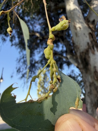
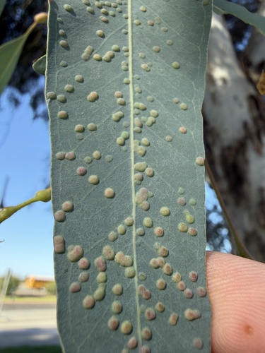
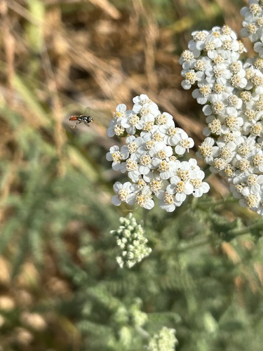
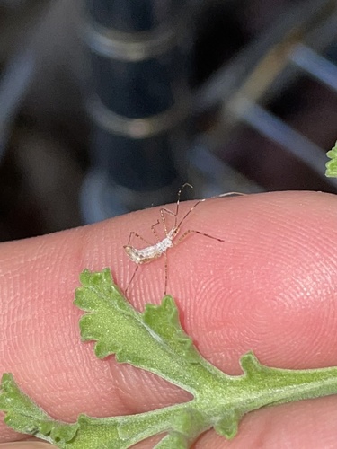
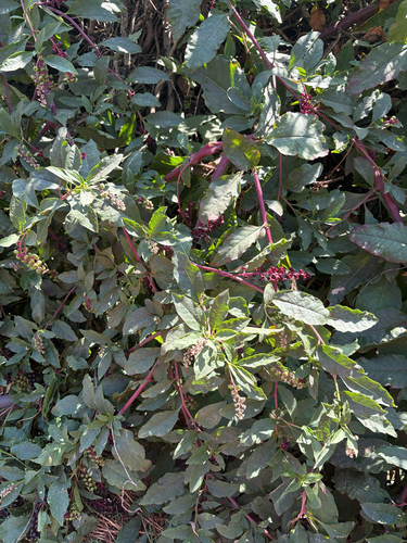
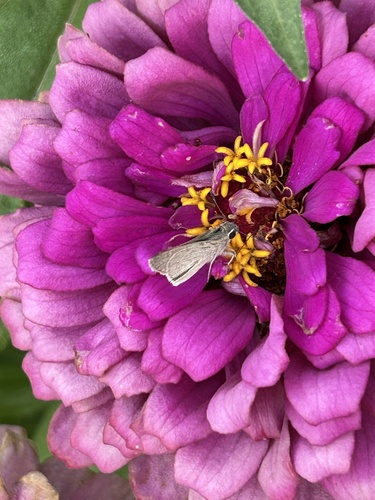
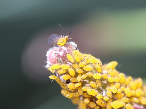
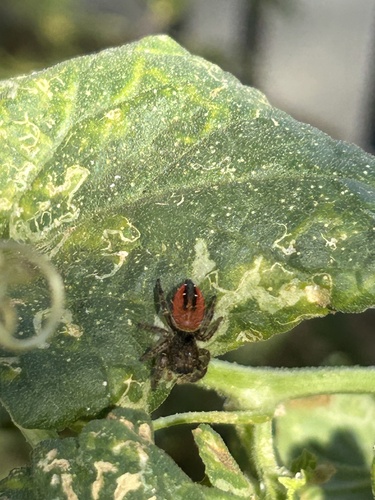
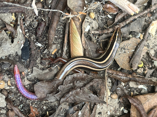
Research-grade observations from iNaturalist (within ~15 mi).
Nearest stream gauge
Events
Gallery
Sources
- • Wikipedia
- • NOAA National Weather Service
- • Wikidata
- • iNaturalist
- • Open-Elevation
- • Open-Meteo / sunrise-sunset.org
- • Wikipedia Pageviews API
- • Open Library
- • NASA EONET