Browse / Canada / Saskatchewan / Regina
Regina
Saskatchewancity

Regina
Total population
215,106
Founded
1882
Air quality index
Demographic figures from Statistics Canada. Overview below cites Wikipedia and may reference a different year.
City facts
Facts from Wikidata (CC0).
Overview
Regina is the capital city of the Canadian province of Saskatchewan. The city is the second-largest in the province, after Saskatoon, and is a commercial centre for southern Saskatchewan. As of the 2021 census, Regina had a city population of 226,404 and a metropolitan area population of 249,217. It is governed by Regina City Council. The city is surrounded by the Rural Municipality of Sherwood No. 159.
Read more on WikipediaHistory & geography
History
Regina was established as the territorial seat of government in 1882 when Edgar Dewdney, the lieutenant-governor of the North-West Territories, insisted on the site over the better developed Battleford, Troy and Fort Qu'Appelle (the latter some to the east, one on rolling plains and the other in the Qu'Appelle Valley between two lakes). These communities were considered better locations for what was anticipated to be a metropole for the Canadian plains. These locations had ample access to water and resided on treed rolling parklands. "Pile-of-Bones", as the site for Regina was then called (or, in Cree, Oskana kâ-asastêki), was by contrast located in arid and featureless grassland. Lieutenant-Governor Dewdney had acquired land adjacent to the route of the future CPR line at Pile-of-Bones, which was distinguished only by collections of bison bones near a small spring run-off creek, some few kilometres downstream from its origin in the midst of what are now wheat fields. There was an "obvious conflict of interest" in Dewdney's choosing the site of Pile-of-Bones as the territorial seat of government and it was a national scandal at the time. But until 1897, when responsible government was accomplished in the Territories, the lieutenant-governor and council governed by fiat and there was little legitimate means of challenging such decisions outside the federal capital of Ottawa. There, the Territories were remote and of little concern. Princess Louise, Duchess of Argyll, wife of the then Governor General of Canada, named the new community "Regina", in honour of her mother, Queen Victoria. Commercial considerations prevailed and the town's authentic development soon began as a collection of wooden shanties and tent shacks clustered around the site designated by the CPR…
Geography
Located immediately east of Moose Jaw, Regina is situated on a broad, flat, treeless plain. There is an abundance of parks and greenspaces: all of its trees — some 300,000 — shrubs and other plants were hand-planted. As in other prairie cities, American elms were planted in front yards in residential neighbourhoods and on boulevards along major traffic arteries and are the dominant species in the urban forest. In recent years the pattern of primary and high school grounds being acreages of prairie sports grounds has been re-thought and such grounds have been landscaped with artificial hills and parks. Newer residential subdivisions in the northwest and southeast have, instead of spring runoff storm sewers, decorative landscaped lagoons. The streetscape is now endangered by Dutch elm disease, which has spread through North America from the eastern seaboard and has now reached the Canadian prairies; for the time being it is controlled by pest management programs and species not susceptible to the disease are being planted; the disease has the potential to wipe out Regina's elm population. Regina experiences a warm summer humid continental climate (Köppen: Dfb bordering on Dwb), with more than 70% of average annual precipitation in the warmest six months, and is in the NRC Plant Hardiness Zone 3b. Regina has warm summers and cold, dry winters, prone to extremes at all times of the year. Average annual precipitation is and is heaviest from May through August, with June being the wettest month with an average of of precipitation. The average daily temperature for the year is . The lowest temperature ever recorded was on 1 January 1885, while the highest recorded temperature was on 5 July 1937.
Excerpted from the corresponding Wikipedia article (CC BY-SA).
Geography
Coordinates & boundaries from the US Census TIGER/Line shapefiles.
Climate
Air quality
Current readings from Open-Meteo Air Quality API (Copernicus CAMS European reanalysis).
Walkability
Amenities nearby
Wildlife & biodiversity
Most-observed species
- House SparrowPasser domesticus (Linnaeus, 1758) · Aves16,935
- Black-capped ChickadeePoecile atricapillus (Linnaeus, 1766) · Aves9,704
- American RobinTurdus migratorius Linnaeus, 1766 · Aves9,342
- House FinchHaemorhous mexicanus (P.L.Statius Müller, 1776) · Aves9,081
- MallardAnas platyrhynchos Linnaeus, 1758 · Aves8,645
- Canada Goose (canadensis Group)Branta canadensis (Linnaeus, 1758) · Aves8,546
- American CrowCorvus brachyrhynchos C.L.Brehm, 1822 · Aves8,349
- Red-breasted NuthatchSitta canadensis Linnaeus, 1766 · Aves7,831
Citizen-science & research observations from the Global Biodiversity Information Facility (GBIF).
Earthquake history
Events from the USGS Earthquake Catalog (global) (FDSN Event Web Service).
Photos
Sights & places nearby
Notable people from here


People born within ~10 km, from Wikidata (CC0). Click any name for their Wikipedia article.
Nearby places in Saskatchewan
- Sturgeon Lake212.9 mi away
- Big River240.3 mi away · pop. 1,140
- Petrykozy4702.6 mi away
- Rudzisko4702.8 mi away · pop. 55
- Giełzów4703.3 mi away · pop. 400
- Kamienna Wola4703.4 mi away · pop. 330
- Bernów4703.9 mi away · pop. 160
- Skrzyszów4704.1 mi away · pop. 200
- Maleniec4705.2 mi away · pop. 150
- Wyszyna Machorowska4706.6 mi away · pop. 110
- Gracuch4707 mi away · pop. 190
- Komaszyce4708.3 mi away · pop. 180
Geography & sun
Elevation, sunrise/sunset and daylight from Open-Meteo. Solar climatology from NASA POWER.
Nearby airports
Public attention
Pageview totals from the Wikimedia Pageviews API.
Books about Regina


Search results from Open Library.
Recent natural events nearby
- Buzzard Feather Wildfire, Roosevelt, MontanaWildfires · 2026-04-30 · 139 mi
- 32nd Avenue Wildfire, Rolette, North DakotaWildfires · 2026-05-04 · 234 mi
- Holm RX Prescribed Fire, Blaine, MontanaWildfires · 2026-04-17 · 243 mi
Wildfires, storms and other events from NASA EONET (last 12 months, within 250 mi).
Ground air-quality sensors
Recently spotted species
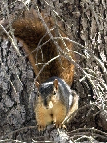
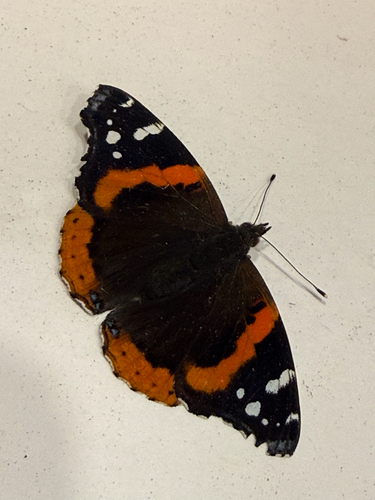
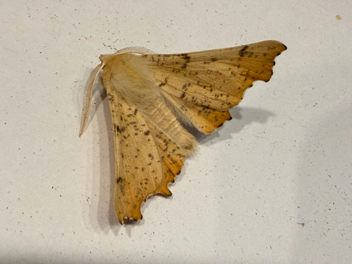
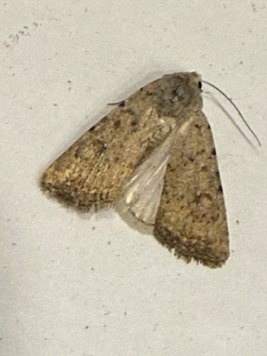
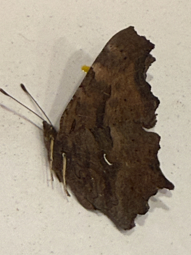

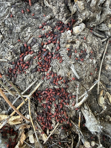
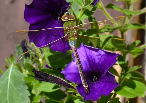
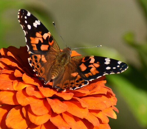
Research-grade observations from iNaturalist (within ~15 mi).
Events
Gallery
Geotagged photos within ~6 miles of Regina, from Wikimedia Commons contributors.
 0 mi
0 mi.jpg) 0 mi
0 mi 0.1 mi
 0.1 mi
.jpg) 0.1 mi
0.1 mi.jpg) 0.1 mi
0.1 mi.jpg) 0.1 mi
0.1 mi.jpg) 0.1 mi
0.1 mi.jpg) 0.1 mi
0.1 mi.jpg) 0.2 mi
0.2 mi 0.2 mi
 0.2 mi
 0.2 mi
 0.2 mi
 0.2 mi
 0.2 mi
.jpg) 0.2 mi
0.2 mi.jpg) 0.2 mi
0.2 mi.jpg) 0.2 mi
0.2 mi.jpg) 0.2 mi
0.2 mi.jpg) 0.2 mi
0.2 mi.jpg) 0.2 mi
0.2 mi.jpg) 0.2 mi
0.2 mi.jpg) 0.2 mi
0.2 miPhotos via Wikimedia Commons — see each image page for license & attribution.
Official Identifiers
StatCan — Statistics Canada
- SGC code
- 4706027
- Population (Wikidata)
- 226,404
- Wikidata
- Q2123
Standard Geographical Classification (SGC) via Wikidata P3012
Sources
- • Wikipedia
- • Wikimedia Commons
- • Wikidata
- • Open-Meteo Air Quality (CAMS)
- • USGS Earthquake Catalog (global feed)
- • GBIF (Global Biodiversity Information Facility)
- • iNaturalist
- • Open-Meteo / sunrise-sunset.org
- • Wikipedia Pageviews API
- • Open Library
- • NASA EONET
- • StatCan — Statistics Canada — Standard Geographical Classification (SGC) via Wikidata P3012