Browse / Canada / Manitoba / Reston
Reston
Manitobavillage

Reston
Demographic figures from Statistics Canada. Overview below cites Wikipedia and may reference a different year.
City facts
Facts from Wikidata (CC0).
Overview
Reston is an unincorporated community recognized as a local urban district in southwestern Manitoba, Canada, located near the border of Saskatchewan on the west and North Dakota on the south. It is the largest community in the Rural Municipality of Pipestone. It is situated along Highway 2 at the intersection with Provincial Road 252.
Read more on WikipediaHistory & geography
History
The name of the community was derived from the area where many of the original settlers came from, which was Reston Junction in Berwickshire, Scotland. The post office opened in 1890 on land location 9-7-27W. It was also a Canadian Pacific railway point and there was a school district which had the name Lanark and a district named Reston was later located on 9-7-27W. In October 2012, Reston sold lots in the community for $10 in order to attract families and businesses. File:Reston Manitoba 1909.jpg|alt=Postcard of Reston, Manitoba: Main street in town with several horse-drawn carts parked along the street. Buildings included are "Dr. Stevenson D.V.S.", "Royal Restaurant", "Imperial Restaurant" and "Harness Shop."|Main Street, 1909 File:Reston Manitoba c1920.jpg|alt=Bird's eye view of Reston, Manitoba with a focus on "Lake of the Woods Milling Co. Limited" and horse-drawn cart driving down the street.|Reston, c. 1920
Excerpted from the corresponding Wikipedia article (CC BY-SA).
Geography
Coordinates & boundaries from the US Census TIGER/Line shapefiles.
Climate
Air quality
Walkability
Amenities nearby
Wildlife & biodiversity
Earthquake history
Photos
Sights & places nearby
Notable people from here


People born within ~10 km, from Wikidata (CC0). Click any name for their Wikipedia article.
Geography & sun
Elevation, sunrise/sunset and daylight from Open-Meteo. Solar climatology from NASA POWER.
Nearby airports
Public attention
Pageview totals from the Wikimedia Pageviews API.
Books about Reston
Search results from Open Library.
Recent natural events nearby
Ground air-quality sensors
Recently spotted species
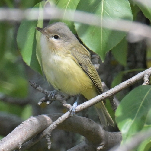
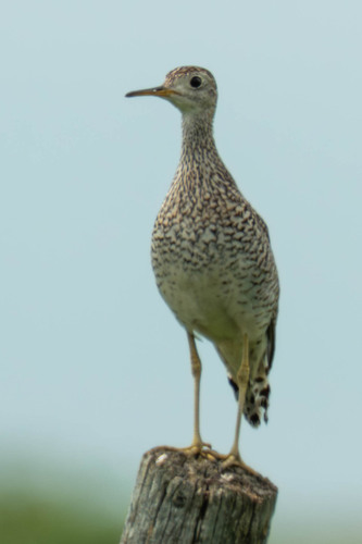
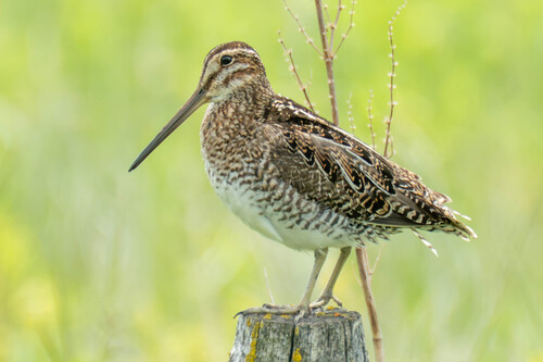
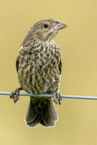
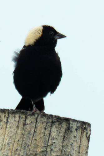
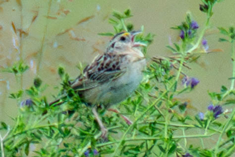
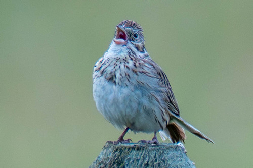
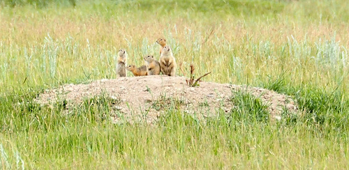
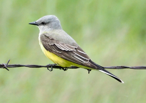
Research-grade observations from iNaturalist (within ~15 mi).
Events
Gallery
Sources
- • Wikipedia
- • Wikidata
- • iNaturalist
- • Open-Meteo / sunrise-sunset.org
- • Wikipedia Pageviews API
- • Open Library