Browse / Canada / Manitoba / Richer
Richer
Manitobavillage

Richer
Total population
607
Demographic figures from Statistics Canada. Overview below cites Wikipedia and may reference a different year.
City facts
Overview
Richer is a local urban district in southeast Manitoba, almost 42 kilometres (26 mi) east of Winnipeg along Highway 1. It is located in the Rural Municipality of Ste. Anne, at the junction of the Trans-Canada Highway and Provincial Road 302.
Read more on WikipediaHistory & geography
History
Richer was originally called Coteau-de-Chênes, then renamed Thibaultville in 1901, until it was finally named Richer, after H. Isaïe Richer, who was the first postmaster in the region. Located on the historic Dawson Trail, Richer is rich in early Canadian history of French-Canadian, English Canadian as well as Aboriginal and Metis peoples.
Excerpted from the corresponding Wikipedia article (CC BY-SA).
Geography
Coordinates & boundaries from the US Census TIGER/Line shapefiles.
Climate
Air quality
Walkability
Amenities nearby
Wildlife & biodiversity
Earthquake history
Photos
Sights & places nearby
Notable people from here
Geography & sun
Elevation, sunrise/sunset and daylight from Open-Meteo. Solar climatology from NASA POWER.
Nearby airports
Public attention
Pageview totals from the Wikimedia Pageviews API.
Books about Richer
Search results from Open Library.
Recent natural events nearby
Ground air-quality sensors
Recently spotted species
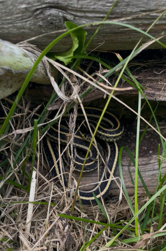

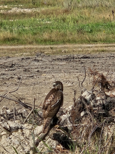
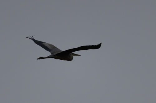
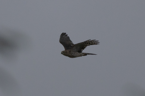
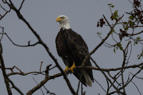
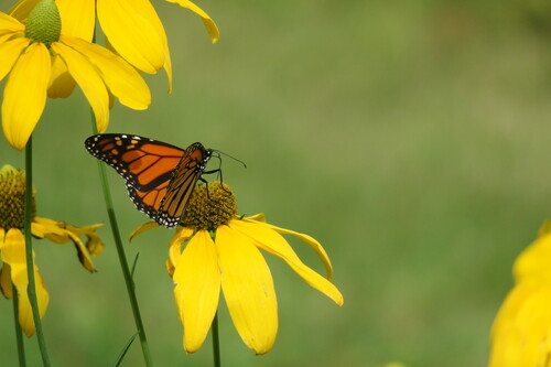
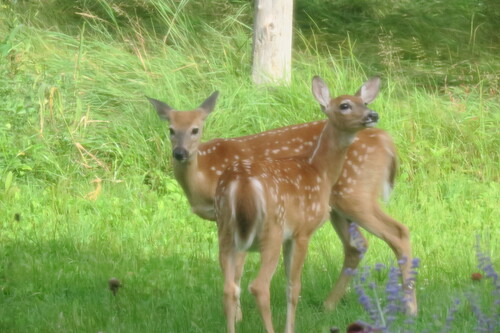
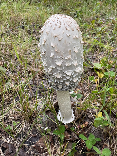
Research-grade observations from iNaturalist (within ~15 mi).
Events
Gallery
Sources
- • Wikipedia
- • Wikidata
- • iNaturalist
- • Open-Meteo / sunrise-sunset.org
- • Wikipedia Pageviews API
- • Open Library