Browse / Canada / Ontario / Richmond Hill
Richmond Hill
Ontariocity

Richmond Hill
Total population
202,022
Founded
1873
Air quality index
Demographic figures from Statistics Canada. Overview below cites Wikipedia and may reference a different year.
City facts
Facts from Wikidata (CC0).
Overview
Richmond Hill is a Ontario city in the south-central Regional Municipality of York, Canada. Part of the Greater Toronto Area, it is the twelfth most populous municipality in Ontario and the twenty-seventh most populous municipality in Canada. Richmond Hill is situated between the cities of Markham and Vaughan, north of Thornhill, and south of Aurora.
Read more on WikipediaHistory & geography
History
The village of Richmond Hill was incorporated by a by-law of the York County Council on June 18, 1872, coming into effect January 1, 1873. In September 1956, the Ontario Municipal Board approved its elevation to Town status, effective January 1, 1957. The Regional Municipality of York was established by Bill 102 An Act to Establish the Regional Municipality of York of the provincial parliament, passed on June 26, 1970, and coming into force on January 1, 1971. The act expanded Richmond Hill's borders, annexing parts of Whitchurch Township, Markham Township, Vaughan Township and King Township into Richmond Hill, expanding the area covered from to and the population from a little over 19,000 to some 34,000. Historically the town was bounded along a narrow strip along Yonge Street from Lots 48 to 46 (about Crosby Avenue down to Major Mackenzie Drive), as far east as Church Street and slightly west of Mill Pond (excluding Lot 46 where it ended just north of Arnold Crescent or eastern end of today's Don Head Park). The town grew to encompass the communities of Gormley, Dollar, Langstaff, Carrville, Headford, Elgin Mills, Jefferson, Bond Lake, Temperanceville, Lake Wilcox, Oak Ridges and Richvale. While Richmond Hill was a prosperous, well developed town, many of the outlying areas annexed were far more rural, with dirt roads, no water mains or sewers and no streetlights, and the time needed to bring municipal services up in these areas, combined with residual unequal tax assessments caused considerable conflict in the municipal politics. Policing was taken over by the York Regional Police, but fire protection remained with Richmond Hill, whose firefighting force quickly grew. Having hired its first full-time employee in 1967, it had fourteen full-time employees by 1971.…
Geography
Richmond Hill is bounded by Bloomington Rd. (Aurora town limit) to the north, York Regional Road 7 (Vaughan city limit west of Yonge St., Markham city limit east of Yonge St.) to the south, Bathurst St. (Vaughan city limit) to the west, and Ontario Highway 404 (Markham city limit) to the east. Its southern limit is about north of the Toronto city limit, Steeles Avenue, and approximately north of the downtown core of Toronto. The city extends north–south and east–west. The city itself is at a higher elevation than other communities within the Greater Toronto Area, and with the exclusion of areas closely alongside its borders, the constituent of York region with the greatest height above sea level. The uneven melting of the glacier that formed the city led to a varied geography within the city's own borders, leading to such features as kettle lakes, minor tributaries and the Oak Ridges Moraine. Being elevated above the surrounding region, precipitation in the city tends to flow outwards via the multitude of streams and rivers that flow through the city. Principally, water flow is in one of two directions, south to Lake Ontario or north to Lake Simcoe where they join up with larger tributaries that feed into the water bodies. Of note are the Rouge, Humber, and Don rivers, which receive some of their flow from sources in the city. Richmond Hill is located on the Oak Ridges Moraine, an elevated region of loose soil which comprises a roughly the northern third of the land area of the city. Its porous nature allows the collection and natural filtering of waters that flow through it, which are then fed into multiple underground aquifers. While the city receives its water from the City of Toronto, these aquifers are an important source for those with their own wells in…
Excerpted from the corresponding Wikipedia article (CC BY-SA).
Geography
Coordinates & boundaries from the US Census TIGER/Line shapefiles.
Climate
Air quality
Current readings from Open-Meteo Air Quality API (Copernicus CAMS European reanalysis).
Walkability
Amenities nearby
Wildlife & biodiversity
Most-observed species
- Northern CardinalCardinalis cardinalis (Linnaeus, 1758) · Aves38,499
- American RobinTurdus migratorius Linnaeus, 1766 · Aves34,245
- Black-capped ChickadeePoecile atricapillus (Linnaeus, 1766) · Aves32,679
- American GoldfinchSpinus tristis (Linnaeus, 1758) · Aves31,029
- Mourning DoveZenaida macroura (Linnaeus, 1758) · Aves25,841
- Red-winged BlackbirdAgelaius phoeniceus (Linnaeus, 1766) · Aves24,734
- Canada Goose (canadensis Group)Branta canadensis (Linnaeus, 1758) · Aves24,270
- MallardAnas platyrhynchos Linnaeus, 1758 · Aves23,663
Citizen-science & research observations from the Global Biodiversity Information Facility (GBIF).
Earthquake history
Most recent
- M 4.1 — 2026-01-2824 km ESE of Orillia, Canada
- M 3 — 2018-05-0814 km SSE of Ajax, Canada
- M 2.52 — 2017-07-1111 km NNW of Barker, New York
- M 2.46 — 2014-02-1334 km N of Lyndonville, New York
- M 2.7 — 2009-12-2110 km NNE of Olcott, New York
- M 2.58 — 2009-09-2020 km ESE of Oakville, Canada
Events from the USGS Earthquake Catalog (global) (FDSN Event Web Service).
Photos
Sights & places nearby
Notable people from here


People born within ~10 km, from Wikidata (CC0). Click any name for their Wikipedia article.
Nearby places in Ontario
Geography & sun
Elevation, sunrise/sunset and daylight from Open-Meteo. Solar climatology from NASA POWER.
Nearby airports
Public attention
Pageview totals from the Wikimedia Pageviews API.
Books about Richmond Hill

Search results from Open Library.
Recent natural events nearby
- Wells Rd Unit 1 RX Prescribed Fire, Iosco, MichiganWildfires · 2026-04-22 · 204 mi
- River Road 16 RX Prescribed Fire, Iosco, MichiganWildfires · 2026-04-19 · 209 mi
Wildfires, storms and other events from NASA EONET (last 12 months, within 250 mi).
Ground air-quality sensors
Recently spotted species
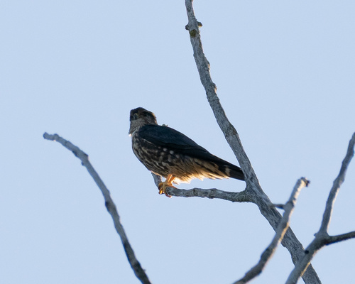
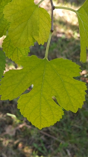
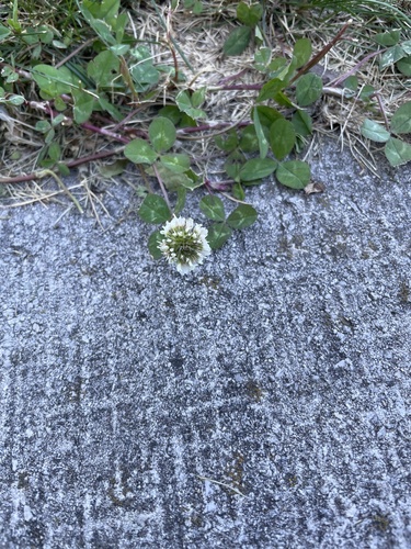
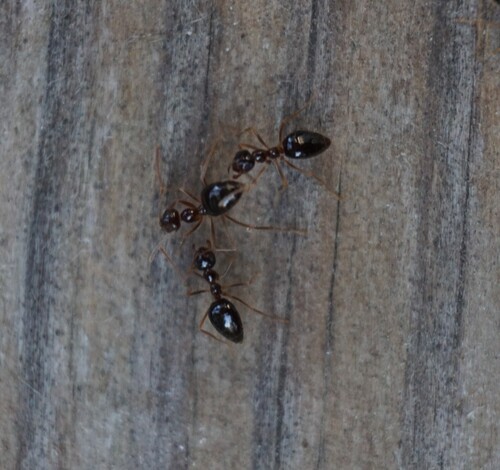
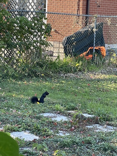


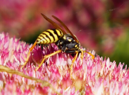
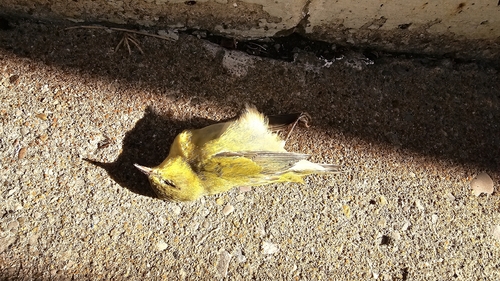
Research-grade observations from iNaturalist (within ~15 mi).
Events
Gallery
Geotagged photos within ~6 miles of Richmond Hill, from Wikimedia Commons contributors.
.jpg) 0 mi
0 mi 0 mi
0 mi 0.1 mi
.jpg) 0.1 mi
0.1 mi_(cropped).jpg) 0.1 mi
0.1 mi.jpg) 0.1 mi
0.1 mi.jpg) 0.1 mi
0.1 mi 0.1 mi
 0.1 mi
 0.1 mi
 0.2 mi
 0.2 mi
 0.2 mi
 0.2 mi
 0.2 mi
 0.2 mi
 0.3 mi
 0.3 mi
.jpg) 0.3 mi
0.3 mi 0.4 mi
_-_panoramio.jpg) 0.4 mi
0.4 mi_-_panoramio.jpg) 0.4 mi
0.4 mi 0.4 mi
 0.4 mi
Photos via Wikimedia Commons — see each image page for license & attribution.
Official Identifiers
StatCan — Statistics Canada
- SGC code
- 3519038
- Population (Wikidata)
- 202,022
- Wikidata
- Q52998
Standard Geographical Classification (SGC) via Wikidata P3012
Sources
- • Wikipedia
- • Wikimedia Commons
- • Wikidata
- • Open-Meteo Air Quality (CAMS)
- • USGS Earthquake Catalog (global feed)
- • GBIF (Global Biodiversity Information Facility)
- • iNaturalist
- • Open-Meteo / sunrise-sunset.org
- • Wikipedia Pageviews API
- • Open Library
- • NASA EONET
- • StatCan — Statistics Canada — Standard Geographical Classification (SGC) via Wikidata P3012