Browse / Canada / Alberta / Rife
Rife
Albertavillage
Demographic figures from Statistics Canada. Overview below cites Wikipedia and may reference a different year.
City facts
Overview
Within Alberta, Canada, Rife stands as a village. Detailed population figures are not currently catalogued in the open data sources we track. Coordinates of 54.181°, -111.028° situate Rife in the cool-temperate zone of the northern hemisphere. Long-term weather observations show average highs near 46.1°F and lows near 29.4°F with about 20.4 in of annual precipitation (a relatively dry total). The location receives about 1,199 kWh/m² of solar irradiance per year and sunshine for roughly 47% of daylight hours. Its latitude implies a climate characterised by long cool seasons and short, mild summers. Open-data panels below dive into population trends, climate normals, environmental indicators and nearby places.
Summary composed automatically from structured open data on this page. See our Terms for details.
History & geography
Geography
* Ferring Rife, stream in West Sussex, England * Rife, Bhutan * Rife, Alberta, a locality in the Municipal District of Bonnyville No. 87, Alberta, Canada * Rife House (Rogers, Arkansas), U.S. * Rife Farmstead Osage Mills, Arkansas, U.S. * Rife House (Shawsville, Virginia), U.S.
Excerpted from the corresponding Wikipedia article (CC BY-SA).
Geography
Coordinates & boundaries from the US Census TIGER/Line shapefiles.
Climate
10-year averages from ERA5 reanalysis (Open-Meteo).
Air quality
Walkability
Amenities nearby
Wildlife & biodiversity
Most-observed species
- Canada Goose (canadensis Group)Branta canadensis (Linnaeus, 1758) · Aves309
- American CrowCorvus brachyrhynchos C.L.Brehm, 1822 · Aves289
- Franklin's GullLeucophaeus pipixcan (Wagler, 1831) · Aves284
- MallardAnas platyrhynchos Linnaeus, 1758 · Aves280
- Red-winged BlackbirdAgelaius phoeniceus (Linnaeus, 1766) · Aves250
- Blue-winged TealSpatula discors (Linnaeus, 1766) · Aves229
- GadwallMareca strepera (Linnaeus, 1758) · Aves209
- Lesser ScaupAythya affinis (Eyton, 1838) · Aves208
Citizen-science & research observations from the Global Biodiversity Information Facility (GBIF).
Earthquake history
Events from the USGS Earthquake Catalog (global) (FDSN Event Web Service).
Photos
Sights & places nearby
Notable people from here
Nearby places in Alberta
Geography & sun
Elevation, sunrise/sunset and daylight from Open-Meteo. Solar climatology from NASA POWER.
Nearby airports
Public attention
Pageview totals from the Wikimedia Pageviews API.
Books about Rife

Search results from Open Library.
Recent natural events nearby
Ground air-quality sensors
Recently spotted species
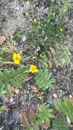
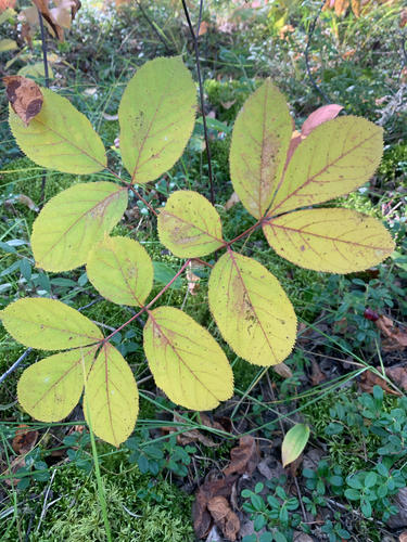
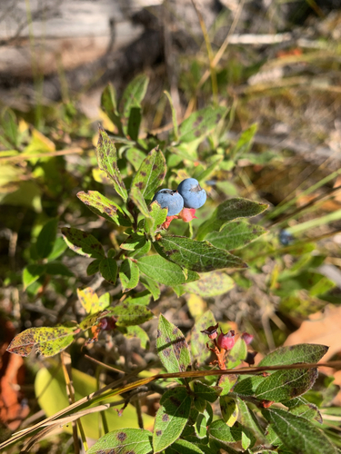
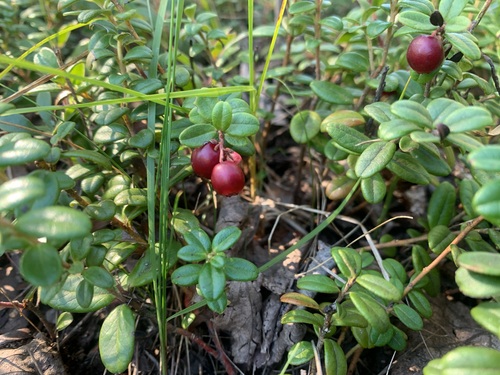
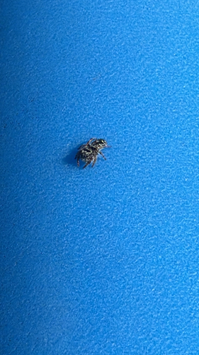
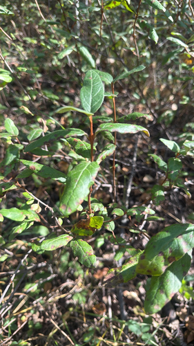
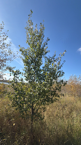
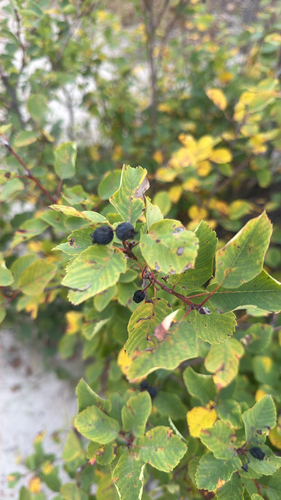
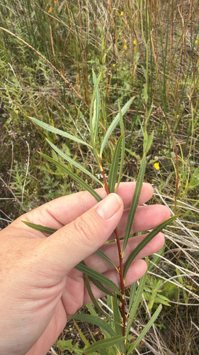
Research-grade observations from iNaturalist (within ~15 mi).
Events
Gallery
Sources
- • Wikipedia
- • Open-Meteo (ERA5 reanalysis)
- • Wikidata
- • USGS Earthquake Catalog (global feed)
- • GBIF (Global Biodiversity Information Facility)
- • iNaturalist
- • Open-Meteo / sunrise-sunset.org
- • Wikipedia Pageviews API
- • Open Library