Browse / United States / California / Ripley
Ripley
CaliforniaCDP

Ripley
Total population
476
Air quality index
Demographic figures from US Census Bureau · ACS 5-year estimates. Overview below cites Wikipedia and may reference a different year.
City facts
Facts from Wikidata (CC0).
Overview
Ripley is a census-designated place community in east Riverside County. It is located along State Route 78 (SR78) between Palo Verde and Blythe. The area is mostly agricultural lands irrigated by Colorado River water. The elevation is 249 feet (76 m). The population was 538 at the 2020 census, down from 692 at the 2010 census.
Read more on WikipediaHistory & geography
History
Ripley was established in 1920 when the California Southern Railroad (unrelated to the railroad linking Barstow and San Diego) was extended from Blythe. The townsite was named to dedicate former Santa Fe Railway president Edward Payson Ripley. The town aimed to be a resort location until it was damaged by a flood that swept part of the valley in 1922. Today, a water tower remains as a landmark in town. Ripley is near the site of a 1974 fatal bus wreck.
Geography
According to the United States Census Bureau, the CDP covers an area of , all of it land. Alongside Blythe and Palo Verde, Ripley is located in the Palo Verde Valley. Official U.S. Geological Survey NAD27 coordinates for the community are . It is within area code 760 and has its own ZIP Code: 92272. This area has a large amount of sunshine year round due to its stable descending air and high pressure. According to the Köppen Climate Classification system, Ripley has a desert climate, abbreviated "Bwh" on climate maps.
Excerpted from the corresponding Wikipedia article (CC BY-SA).
Demographics & economy
Geography
Coordinates & boundaries from the US Census TIGER/Line shapefiles.
Climate
Air quality
Current readings from Open-Meteo Air Quality API (Copernicus CAMS European reanalysis).
Industrial & pollution facilities
Natural hazard risk
Health (adults)
Walkability
Amenities nearby
Wildlife & biodiversity
Most-observed species
- Great-tailed GrackleQuiscalus mexicanus (Gmelin, 1788) · Aves1,073
- European StarlingSturnus vulgaris Linnaeus, 1758 · Aves668
- Mourning DoveZenaida macroura (Linnaeus, 1758) · Aves641
- Red-winged BlackbirdAgelaius phoeniceus (Linnaeus, 1766) · Aves595
- Turkey VultureCathartes aura (Linnaeus, 1758) · Aves570
- Common RavenCorvus corax Linnaeus, 1758 · Aves479
- Yellow-rumped WarblerSetophaga coronata (Linnaeus, 1766) · Aves469
- American KestrelFalco sparverius Linnaeus, 1758 · Aves460
Citizen-science & research observations from the Global Biodiversity Information Facility (GBIF).
Schools
Earthquake history
Most recent
- M 2.92 — 2026-08-1111 km SW of Niland, CA
- M 2.95 — 2026-07-2510 km SW of Niland, CA
- M 2.51 — 2026-07-099 km NW of Calipatria, CA
- M 3.64 — 2026-06-1510 km SW of Niland, CA
- M 3.18 — 2026-06-1510 km SW of Niland, CA
- M 2.61 — 2026-02-179 km SW of Niland, CA
Events from the USGS Earthquake Catalog (global) (FDSN Event Web Service).
Photos
Sights & places nearby
Notable people from here
Geography & sun
Elevation, sunrise/sunset and daylight from Open-Meteo. Solar climatology from NASA POWER.
Nearby airports
Public attention
Pageview totals from the Wikimedia Pageviews API.
Books about Ripley


Search results from Open Library.
Recent natural events nearby
- Wildfire Campwood, Yavapai, ArizonaWildfires · 2026-08-23 · 117 mi
- Prescribed Fire D2 Vincent RX, Coconino, ArizonaWildfires · 2026-09-17 · 221 mi
- Prescribed Fire D2 Dye RX, Coconino, ArizonaWildfires · 2026-09-17 · 223 mi
Wildfires, storms and other events from NASA EONET (last 12 months, within 250 mi).
Ground air-quality sensors
Recently spotted species
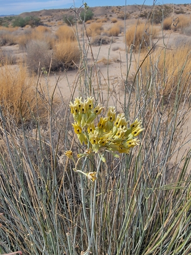
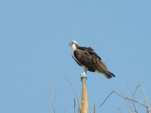
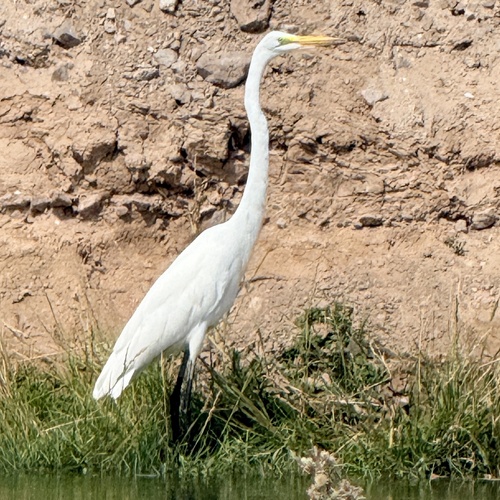
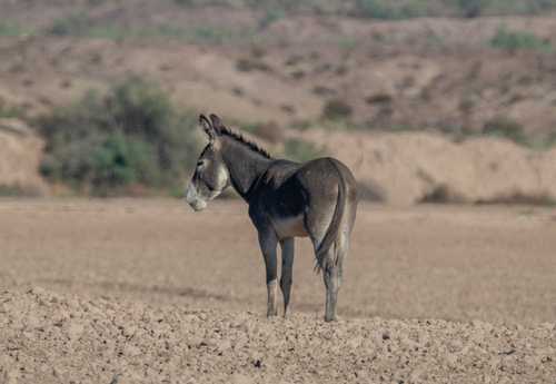
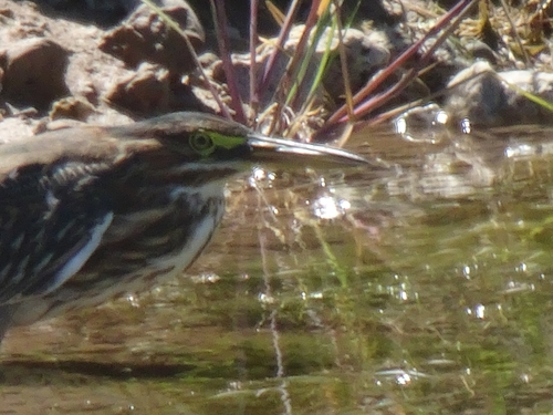
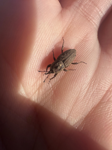
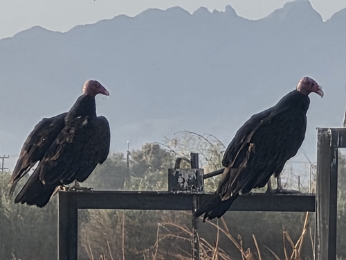
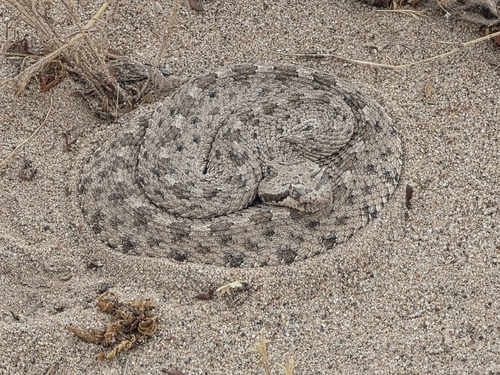
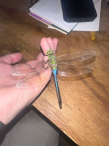
Research-grade observations from iNaturalist (within ~15 mi).
Nearest stream gauge
Events
Gallery
Sources
- • Wikipedia
- • Wikidata
- • Open-Meteo Air Quality (CAMS)
- • USGS Earthquake Catalog (global feed)
- • GBIF (Global Biodiversity Information Facility)
- • iNaturalist
- • Open-Meteo / sunrise-sunset.org
- • Wikipedia Pageviews API
- • Open Library
- • NASA EONET