Browse / Canada / New Brunswick / Riverbank
Riverbank
New Brunswickhamlet

Featured view
Riverbank
Elevation64 m
Coordinates46.40°, -67.60°
Demographic figures from Statistics Canada. Overview below cites Wikipedia and may reference a different year.
Loading additional data from public sources…0 / 11
CensusWikipediaWeatherPlacesPeopleEnvironmentHealth & SchoolsRelatedGeography & CultureLive MonitoringEvents & Gallery
0% completeCity facts
Overview
In geography, a bank is the land alongside a body of water. Different structures are referred to as "banks" in different fields of geography.
Read more on WikipediaHistory & geography
Geography
Latitude
46.3985
Longitude
-67.5972
Water area
—
Coordinates & boundaries from the US Census TIGER/Line shapefiles.
Climate
Air quality
Walkability
Amenities nearby
Wildlife & biodiversity
Earthquake history
Photos
Sights & places nearby
Notable people from here
Nearby places in New Brunswick
- Stickney1.7 mi away
- Florenceville-Bristol3.8 mi away · pop. 2,000
- Lockharts Mill6.3 mi away
- Gregg Settlement6.4 mi away
- Avondale Road7.2 mi away
- Lower Knoxford9.4 mi away
- Carlisle10.9 mi away
- East Brighton11.9 mi away
- Upper Knoxford12.2 mi away
- Cloverdale13.6 mi away
- East Cloverdale14.8 mi away
- Richmond Corner18.2 mi away
Geography & sun
Elevation
210 ft (64 m)
Avg solar (kWh/m²/day)
3.47
Annual solar (kWh/m²)
1,266
Elevation, sunrise/sunset and daylight from Open-Meteo. Solar climatology from NASA POWER.
Nearby airports
Public attention
Wikipedia views (last 30 days)
57
Avg daily Wikipedia views
2
Attention level
Obscure
Pageview totals from the Wikimedia Pageviews API.
Books about this place
Recent natural events nearby
Ground air-quality sensors
Recently spotted species
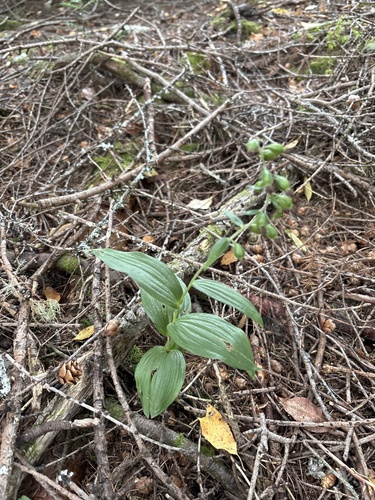
Broad-leaved helleborine
Epipactis helleborine
Seen 2026-09-20
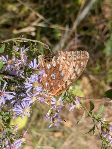
Great Spangled Fritillary
Argynnis cybele
Seen 2026-09-12
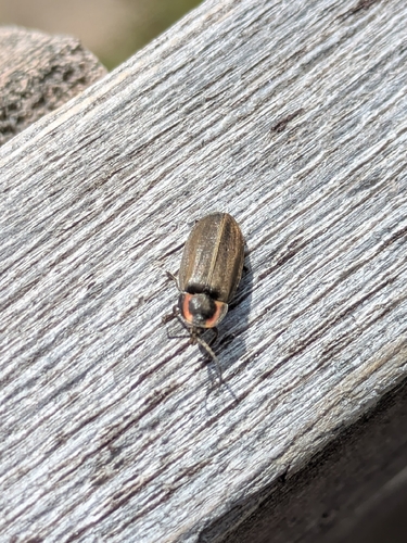
Winter Firefly
Photinus corruscus
Seen 2026-09-12
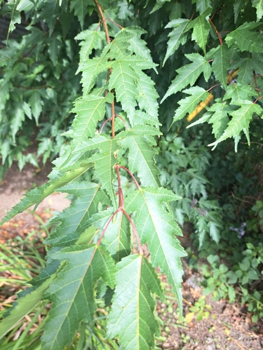
Amur Maple
Acer ginnala
Seen 2026-09-07
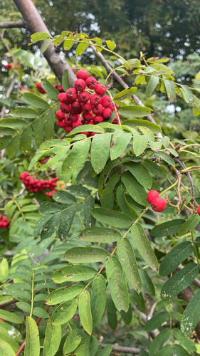
European mountain ash
Sorbus aucuparia
Seen 2026-09-07
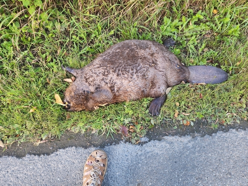
American Beaver
Castor canadensis
Seen 2026-09-07
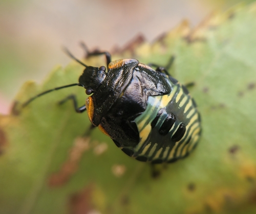
Green Stink Bug
Chinavia hilaris
Seen 2026-09-06
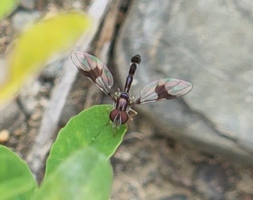
Eastern Band-winged Hover Fly
Hypocritanus fascipennis
Seen 2026-09-06
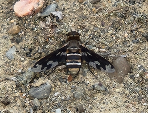
Band-winged Bee Fly
Exoprosopa fascipennis
Seen 2026-09-06
Research-grade observations from iNaturalist (within ~15 mi).
Events
Gallery
Sources
- • Wikipedia
- • iNaturalist
- • Open-Elevation
- • Open-Meteo / sunrise-sunset.org
- • Wikipedia Pageviews API