Browse / United States / California / Roseville
Roseville
Californiacity

Roseville
Total population
163,299
Median home value
$668,600
Bachelor's+
Median income
$116,323
Demographic figures from US Census Bureau · ACS 5-year estimates. Overview below cites Wikipedia and may reference a different year.
- Heat Advisory · ModerateHeat Advisory issued October 1 at 9:34AM PDT until October 5 at 10:00PM PDT by NWS Sacramento CA
Source: NOAA National Weather Service.
City facts
Facts from Wikidata (CC0).
Overview
Roseville is the most populous city in Placer County, California, located within the Sacramento metropolitan area. At the 2020 census, the city's population was 147,773, making it the third-largest city in the Sacramento area. Interstate 80 runs through Roseville and State Route 65 runs through part of the northern edge of the city.
Read more on WikipediaHistory & geography
History
The Nisenan lived in the land that became Roseville for over 2,000 years before being forcibly removed by disease, miners and settlers. The settlement developed around a stage coach station called Griders. According to the Roseville Historical Society, in 1864 the Central Pacific Railroad tracks were constructed northeastward from Sacramento as part of the transcontinental railroad. The point where the tracks met the California Central Railroad line was named "Junction". With the onset of World War II, the rail yards became busier than ever. The post-war building boom brought continued prosperity. But the nature of the city changed dramatically in the 1950s. During this decade, the railroad continued to expand and upgrade, converting its steam engine fleet to all diesel engines. But competition arose in new sectors: the postwar development of the national Interstate Highway System and the airline industry adversely affected the railroads' passenger and freight traffic. Trucking carried increasing amount of freight on highways. Industry restructuring took place and jobs were lost as railroads dropped passenger routes and consolidated operations. Although the railroad has continued as a major employer in Roseville, the city's expansion has been based on the emergence of other employment sectors. Construction in 1950 of the Washington Boulevard (then called Seawell) railroad underpass dramatically affected downtown. It improved the ability of people to travel from one side of the tracks to the other, but it reduced traffic through the Roseville business district north of the tracks. Those businesses lost customers. The completion of Interstate 80 in 1956 stimulated new businesses, with a population shift, from downtown to what would become known as East Roseville.…
Geography
According to the Roseville Civic Center, the city has a total area of , of which is land. 0.002 square miles, or , is water. Several streams flow through Roseville, including Dry Creek, Linda Creek, Secret Ravine and Cirby Creek. Roseville has a hot-summer Mediterranean climate that is characterized by cool, wet, usually snowless winters and hot, dry summers (Köppen Csa). The climate is similar to nearby Sacramento, the minor differences reflecting Roseville's more inland position, resulting in less of the moderating influence of the ocean. As a result, winters are slightly cooler and summers are slightly hotter than Sacramento. Some marine influence does reach Roseville, so temperatures often are still more moderate than other inland parts of the Central Valley by up to . The wet season is generally October through April. Because Roseville is east of Sacramento and at a higher elevation, it receives slightly more rainfall. The dry season lasts from June to October; similar to other Central Valley cities, temperatures can be extremely hot in the summer (routinely peaking above on the hottest days), unusual for a non-desert climate at mid-latitude. For any given year, summers can be consistently hot or mild depending on where the position of the North Pacific High settles around the end of June. Extremely hot years with July highs typically around are averaged out against milder summers that reach around . Average daily high temperatures range from in January to in July. Daily low temperatures range from in winter to in summer. On March 26, 2014, an EF0 tornado touched down in Roseville.
Excerpted from the corresponding Wikipedia article (CC BY-SA).
Demographics & economy
Race & ethnicity
Source: US Census Bureau — American Community Survey, 5-year estimates.
Geography
Coordinates & boundaries from the US Census TIGER/Line shapefiles.
Climate
Current forecast
Forecast for Roseville, CA from NOAA NWS API.
Air quality
Industrial & pollution facilities
Natural hazard risk
Health (adults)
Age-adjusted prevalence estimates from CDC PLACES (latest release).
Walkability
Amenities nearby
Wildlife & biodiversity
Most-observed species
- House FinchHaemorhous mexicanus (P.L.Statius Müller, 1776) · Aves29,025
- California/Woodhouse's Scrub-JayAphelocoma californica (Vigors, 1839) · Aves28,189
- Mourning DoveZenaida macroura (Linnaeus, 1758) · Aves28,188
- Anna's HummingbirdCalypte anna (R.Lesson, 1829) · Aves27,351
- Black PhoebeSayornis nigricans (Swainson, 1827) · Aves24,225
- Oak TitmouseBaeolophus inornatus (Gambel, 1845) · Aves22,759
- Lesser GoldfinchSpinus psaltria (Say, 1822) · Aves22,746
- Canada Goose (canadensis Group)Branta canadensis (Linnaeus, 1758) · Aves20,412
Citizen-science & research observations from the Global Biodiversity Information Facility (GBIF).
Schools
Largest nearby schools
- Rocklin HighHigh · Rocklin · 2,098 students · 22.8:1 ratio
- Woodcreek HighHigh · Roseville · 1,988 students · 22.9:1 ratio
- Whitney HighHigh · Rocklin · 1,984 students · 21.8:1 ratio
- Granite Bay HighHigh · Granite Bay · 1,972 students · 23.8:1 ratio
- Del Oro HighHigh · Loomis · 1,620 students · 23.5:1 ratio
- Roseville HighHigh · Roseville · 1,617 students · 22.5:1 ratio
- John Adams Academy - RosevilleOther · Roseville · 1,590 students · 20.4:1 ratio
- Horizon CharterOther · Lincoln · 1,508 students · 21.5:1 ratio
Public K–12 schools within ~10 mi from Urban Institute Education Data Portal (NCES Common Core of Data, 2022).
Earthquake history
Most recent
- M 2.64 — 2026-04-292 km NW of Granite Bay, CA
- M 3.11 — 2026-03-179 km ENE of Colusa, CA
- M 2.74 — 2026-02-0625 km W of Sunnyside-Tahoe City, CA
- M 2.95 — 2026-01-2515 km N of Pittsburg, CA
- M 2.85 — 2026-01-1420 km W of Winters, CA
- M 2.89 — 2025-05-2310 km NW of Dunnigan, CA
Events from the USGS Earthquake Catalog (global) (FDSN Event Web Service).
Photos
Sights & places nearby
Notable people from here


People born within ~10 km, from Wikidata (CC0). Click any name for their Wikipedia article.
Nearby places in California
- Citrus Heights5.5 mi away · pop. 86,995
- Orangevale7.6 mi away
- Granite Bay8.2 mi away · pop. 21,673
- Penryn9.7 mi away
- Newcastle12.1 mi away
- Arden-Arcade12.2 mi away
- Auburn15.7 mi away · pop. 13,768
- El Dorado Hills16 mi away
- Nicolaus16.2 mi away
- North Auburn17 mi away
- Fruitridge Pocket18 mi away · pop. 6,095
- Plumas Lake19.3 mi away
Geography & sun
Elevation, sunrise/sunset and daylight from Open-Meteo. Solar climatology from NASA POWER.
Nearby airports
Public attention
Pageview totals from the Wikimedia Pageviews API.
Books about Roseville

Search results from Open Library.
Recent natural events nearby
- Wildfire GANN, Calaveras, CaliforniaWildfires · 2026-08-03 · 54 mi
- Wildfire FLORISTON, Nevada, CaliforniaWildfires · 2026-09-16 · 82 mi
- Wildfire Bull, Washoe, NevadaWildfires · 2026-10-02 · 89 mi
- Wildfire Hawk, Washoe, NevadaWildfires · 2026-08-22 · 91 mi
- Wildfire Hawk, Washoe, NevadaWildfires · 2026-08-22 · 91 mi
- Wildfire Bug, Lassen, CaliforniaWildfires · 2026-08-08 · 95 mi
- Wildfire LUCAS, Lake, CaliforniaWildfires · 2026-09-10 · 96 mi
- Wildfire LUCAS, Lake, CaliforniaWildfires · 2026-09-10 · 96 mi
Wildfires, storms and other events from NASA EONET (last 12 months, within 250 mi).
Ground air-quality sensors
Recently spotted species
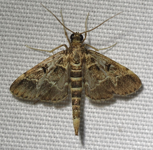
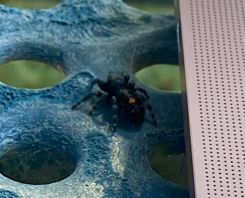
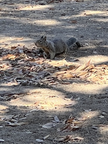
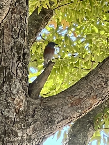
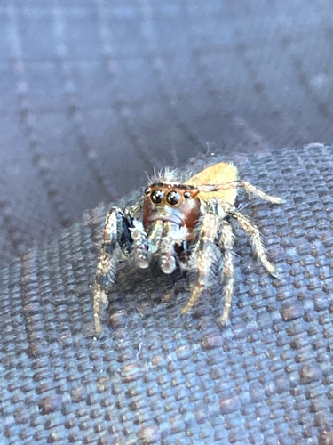
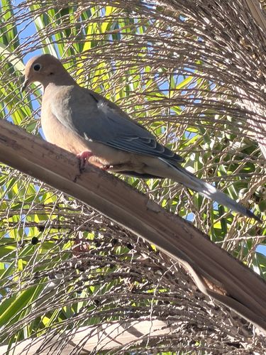
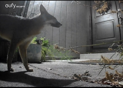
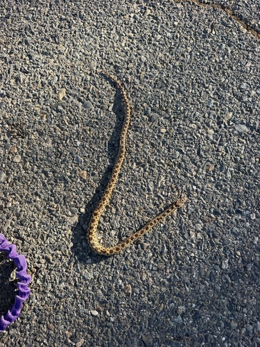
Research-grade observations from iNaturalist (within ~15 mi).
Nearest stream gauge
Events
Gallery
Sources
- • Wikipedia
- • US Census Bureau (ACS 5-year estimates)
- • NOAA National Weather Service
- • Wikidata
- • USGS Earthquake Catalog (global feed)
- • NCES via Urban Institute Education Data Portal
- • GBIF (Global Biodiversity Information Facility)
- • iNaturalist
- • CDC PLACES
- • Open-Meteo / sunrise-sunset.org
- • Wikipedia Pageviews API
- • Open Library
- • NASA EONET