Browse / United States / California / Ross
Ross
Californiatown

Ross
Total population
2,606
Median home value
$2,000,001
Bachelor's+
Median income
$250,001
Founded
1857
Demographic figures from US Census Bureau · ACS 5-year estimates. Overview below cites Wikipedia and may reference a different year.
- Coastal Flood Advisory · MinorCoastal Flood Advisory issued October 13 at 4:57AM PDT until October 14 at 4:00PM PDT by NWS San Francisco CA
Source: NOAA National Weather Service.
City facts
Facts from Wikidata (CC0).
Overview
Ross is a small incorporated town in Marin County, California, United States, just north of San Francisco. Ross is located 1.5 miles (2.4 km) west-southwest of San Rafael, at an elevation of 36 feet (11 m). The population was 2,338 at the 2020 census. The town is bordered by San Rafael to the east, Larkspur to the southeast, Kentfield to the south, San Anselmo to the north, and the Mount Tamalpais protected watershed to the west. Ross is named in honor of James Ross, who acquired Rancho Punta de Quentin in 1859.
Read more on WikipediaHistory & geography
History
After the Mexican Revolution of 1821, the "land grant" system of parceling out land gave rise to what is now known as Marin County. Ross was originally part of an Mexican land grant to Juan B.R. Cooper in 1840 known as Ranch Punta de Quentin Canada de San Anselmo. In 1857, James Ross (1812–1862) bought Rancho Punta de Quentin for $50,000. Ross, a Scot who had arrived in San Francisco from Australia in 1848 and made his fortune in the wholesale liquor business, set up a trading post called "Ross Landing". He built his home on Redwood Drive and moved there with his wife and three children. When James Ross died in 1862, his wife, Annie Ross, was forced to sell a portion of her husband's larger land holdings to pay each of their daughters $10,000. The remaining comprises the present-day Town of Ross. The first post office opened in 1887, and Ross incorporated in 1908.
Geography
According to the United States Census Bureau, the town has a total area of , all land.
Excerpted from the corresponding Wikipedia article (CC BY-SA).
Demographics & economy
Race & ethnicity
Source: US Census Bureau — American Community Survey, 5-year estimates.
Geography
Coordinates & boundaries from the US Census TIGER/Line shapefiles.
Climate
Current forecast
Forecast for Ross, CA from NOAA NWS API.
Air quality
Industrial & pollution facilities
Natural hazard risk
Health (adults)
Walkability
Amenities nearby
Wildlife & biodiversity
Most-observed species
- American CrowCorvus brachyrhynchos C.L.Brehm, 1822 · Aves42,385
- Anna's HummingbirdCalypte anna (R.Lesson, 1829) · Aves37,948
- House FinchHaemorhous mexicanus (P.L.Statius Müller, 1776) · Aves36,683
- Turkey VultureCathartes aura (Linnaeus, 1758) · Aves35,834
- California/Woodhouse's Scrub-JayAphelocoma californica (Vigors, 1839) · Aves31,623
- Song SparrowMelospiza melodia (A.Wilson, 1810) · Aves31,605
- Black PhoebeSayornis nigricans (Swainson, 1827) · Aves30,284
- Common RavenCorvus corax Linnaeus, 1758 · Aves29,077
Citizen-science & research observations from the Global Biodiversity Information Facility (GBIF).
Schools
Earthquake history
Photos
Sights & places nearby
Notable people from here


People born within ~10 km, from Wikidata (CC0). Click any name for their Wikipedia article.
Nearby places in California
- San Anselmo1.3 mi away
- San Geronimo6.3 mi away
- Muir Beach7.1 mi away
- Nicasio10.1 mi away
- Black Point-Green Point10.4 mi away
- North Richmond10.4 mi away
- Rollingwood12.6 mi away · pop. 3,627
- Pinole13.5 mi away
- East Richmond Heights13.6 mi away
- El Sobrante14.1 mi away
- Point Reyes Station15.9 mi away
- Piedmont20.5 mi away
Geography & sun
Elevation, sunrise/sunset and daylight from Open-Meteo. Solar climatology from NASA POWER.
Nearby airports
Public attention
Pageview totals from the Wikimedia Pageviews API.
Books about Ross

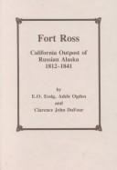


Search results from Open Library.
Recent natural events nearby
- Wildfire FELIZ, Mendocino, CaliforniaWildfires · 2026-08-01 · 78 mi
- Wildfire LUCAS, Lake, CaliforniaWildfires · 2026-09-10 · 91 mi
- Wildfire LUCAS, Lake, CaliforniaWildfires · 2026-09-10 · 91 mi
- Wildfire GANN, Calaveras, CaliforniaWildfires · 2026-08-03 · 98 mi
- Wildfire Timber, Monterey, CaliforniaWildfires · 2026-08-09 · 129 mi
- Wildfire Plaskett, Monterey, CaliforniaWildfires · 2026-08-26 · 156 mi
- Wildfire DOME, Mariposa, CaliforniaWildfires · 2026-09-15 · 163 mi
- Wildfire FLORISTON, Nevada, CaliforniaWildfires · 2026-09-16 · 169 mi
Wildfires, storms and other events from NASA EONET (last 12 months, within 250 mi).
Ground air-quality sensors
Recently spotted species
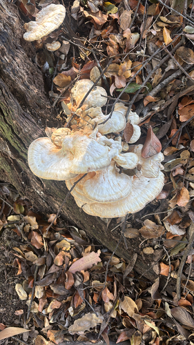
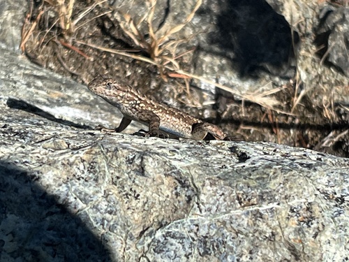
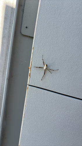
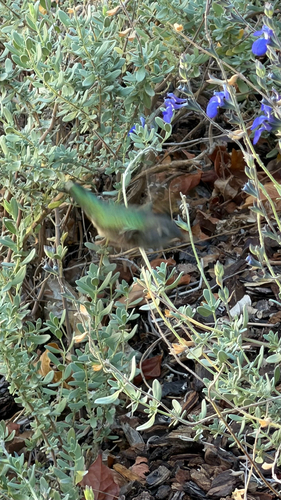
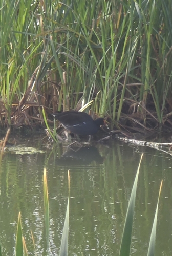
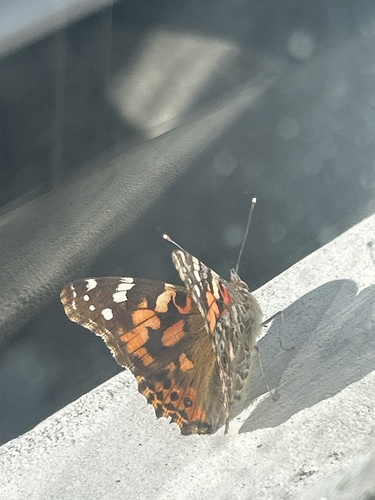
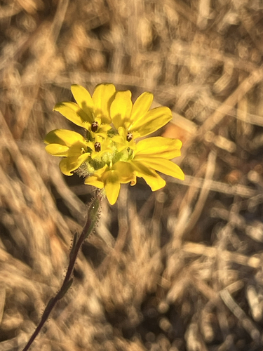
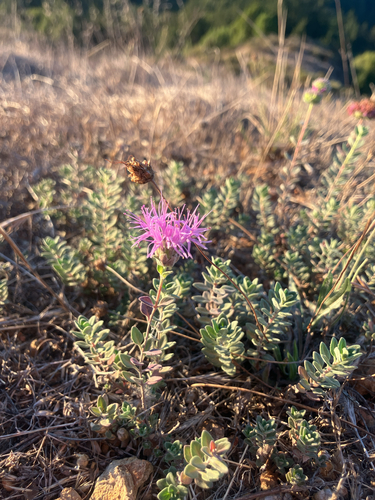
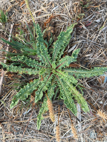
Research-grade observations from iNaturalist (within ~15 mi).
Nearest stream gauge
Events
Gallery
Sources
- • Wikipedia
- • US Census Bureau (ACS 5-year estimates)
- • NOAA National Weather Service
- • Wikidata
- • GBIF (Global Biodiversity Information Facility)
- • iNaturalist
- • Open-Meteo / sunrise-sunset.org
- • Wikipedia Pageviews API
- • Open Library
- • NASA EONET