Browse / Canada / Quebec / Rouyn-Noranda
Rouyn-Noranda
Quebeccity

Rouyn-Noranda
Total population
42,334
Founded
1926
Demographic figures from Statistics Canada. Overview below cites Wikipedia and may reference a different year.
City facts
Sister cities
Facts from Wikidata (CC0).
Overview
Rouyn-Noranda is a city on Osisko Lake in the Abitibi-Témiscamingue region of Quebec, Canada.
Read more on WikipediaHistory & geography
History
The city of Rouyn (named for Jean-Baptiste Rouyn, a captain in the Régiment Royal Roussillon of Louis-Joseph de Montcalm) appeared after copper was discovered in 1917. Noranda (a contraction of "North Canada") was created later around the Horne mine and foundry. Both were officially constituted as cities in 1926, then merged in 1986. Since 1966, Rouyn and Noranda constitute the capital of the Abitibi-Témiscamingue region. It is also the seat of (UQAT) since 1983. The population tends to increase or decrease dramatically depending on the economic situation. The city's population dropped by 5 per cent between the 1996 and 2001 census, before increasing slightly by 0.8 per cent for the 2006 census. This more closely parallels the demographic patterns of Northern Ontario than those of Quebec during this period. Rouyn-Noranda also has other cultural affiliations with Northern Ontario, being the only municipality in Quebec that holds a membership in the Francophone Association of Municipalities of Ontario. The Roman Catholic Diocese of Rouyn-Noranda was established on February 9, 1974, by Pope Paul VI, with Mgr. Jean-Guy Hamelin as its first bishop. It is part of the Metropolitan Province of Gatineau. Mgr. Dorylas Moreau was appointed as bishop on November 30, 2001, replacing Mgr. Hamelin. On September 15, 2003, a decree moved the cathedral from Saint-Michel-Archange Church to Saint-Joseph Church.
Geography
As part of the 2000–2006 municipal reorganization in Quebec, on January 1, 2002, the municipalities (including unorganized territories) of the former Rouyn-Noranda Regional County Municipality amalgamated into the new City of Rouyn-Noranda. These were: Arntfield, Bellecombe, Beaudry, Cadillac, Cléricy, Cloutier, D'Alembert, Destor, Évain, Lac-Montanier, Lac-Surimau, McWatters, Mont-Brun, Montbeillard, Rapides-des-Cèdres, Rollet, and the former Rouyn-Noranda. Rouyn-Noranda has a humid continental climate (Köppen: Dfb).
Excerpted from the corresponding Wikipedia article (CC BY-SA).
Geography
Coordinates & boundaries from the US Census TIGER/Line shapefiles.
Climate
Air quality
Walkability
Amenities nearby
Wildlife & biodiversity
Earthquake history
Photos
Sights & places nearby
Notable people from here


People born within ~10 km, from Wikidata (CC0). Click any name for their Wikipedia article.
Geography & sun
Elevation, sunrise/sunset and daylight from Open-Meteo. Solar climatology from NASA POWER.
Nearby airports
Public attention
Pageview totals from the Wikimedia Pageviews API.
Books about Rouyn-Noranda
Search results from Open Library.
Recent natural events nearby
Ground air-quality sensors
Recently spotted species
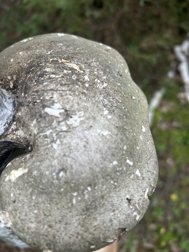

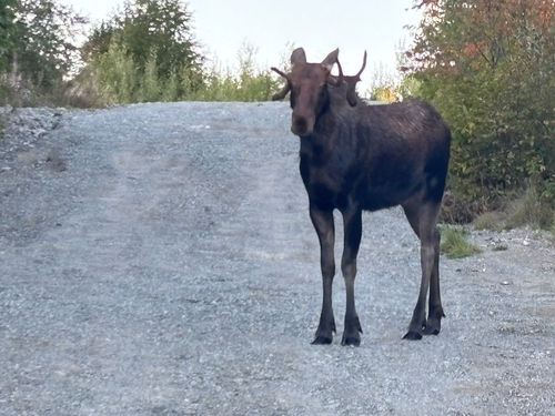

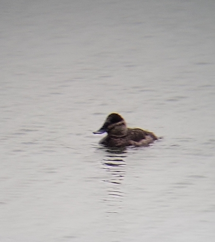
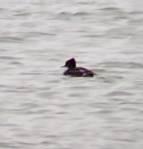

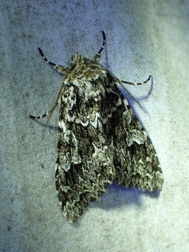
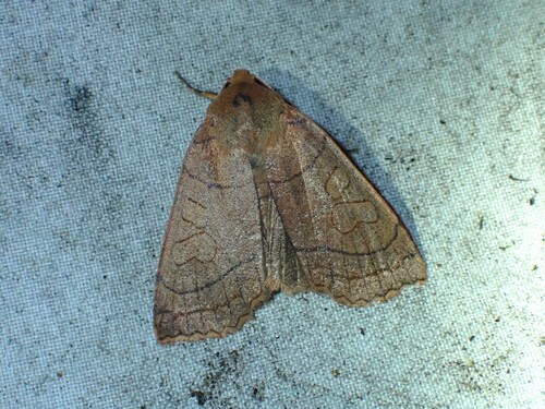
Research-grade observations from iNaturalist (within ~15 mi).
Events
Gallery
Sources
- • Wikipedia
- • Wikidata
- • iNaturalist
- • Open-Meteo / sunrise-sunset.org
- • Wikipedia Pageviews API
- • Open Library