Browse / Canada / New Brunswick / Saint Andrews
Saint Andrews
New Brunswicktown

Saint Andrews
Total population
2,048
Demographic figures from Statistics Canada. Overview below cites Wikipedia and may reference a different year.
City facts
Overview
Saint Andrews is a town in Charlotte County, New Brunswick, Canada. The historic town is a national historic site of Canada, bearing many characteristics of a typical 18th century British colonial settlement, including the original grid layout with its market square, and the classical architecture.
Read more on WikipediaHistory & geography
History
The site of the town was named Qunnnoskwamk'ook, meaning "long gravel bar" in the Maliseet-Passamaquoddy language. At the eastern end the town is a midden, a pile of shells and other refuse that accumulated over 2,000 years due to year-round activity of the Passamaquoddy. Today it is a provincial heritage site. The site was settled in 1783 by United Empire Loyalists. The town's street grid was designed by Charles Morris and was laid out at that time and persists today. Except for the shoreline Water Street, the names of streets have royal or colonial associations: (Parr Street, Carleton Street and Montague Street are all named after govern Between 1820 and 1860, the port of Saint Andrews welcomed Irish immigrants. They were first quarantined at Hospital Island, in Passamaquoddy Bay. At the 1851 census, more than 50% of the town's population had been born in Ireland. The Pendlebury Lighthouse, also known as the St. Andrews North Point Lighthouse, was built in 1833 at the tip of the peninsula. Deactivated in 1938, it has since been restored and registered as a Canadian historic place. In 1840, the Charlotte County Court House was built, and was used continually until 2016. In the late 1800s and early 1900s, St. Andrews became a seaside resort for people from Montreal and Boston who were seeking to escape the summer heat. It was followed in 1889 by The Algonquin, a resort on a hill overlooking the town, which became Canada's first seaside resort. The Argyll burned down in 1892 and was never rebuilt while the Algonquin burned in 1914 and was rebuilt one year later. The lifestyle of wealthy summer visitors is commemorated at the Ross Memorial Museum. A federal marine research facility, the St. Andrews Biological Station, was established in 1908 The town's historic…
Geography
Saint Andrews is at the southern tip of a peninsula, extending into Passamaquoddy Bay. The waterfront faces Saint Andrews Harbour and the Western Channel, which is formed by Navy Island. The harbour is at the mouth of the St. Croix River. The town is directly opposite the community of Robbinston, Maine, two kilometres to the west across the river mouth, and 53 km by road. Ministers Island is east of the town and is accessible by road at low tide only.
Excerpted from the corresponding Wikipedia article (CC BY-SA).
Geography
Coordinates & boundaries from the US Census TIGER/Line shapefiles.
Climate
Air quality
Walkability
Amenities nearby
Wildlife & biodiversity
Most-observed species
- American CrowCorvus brachyrhynchos C.L.Brehm, 1822 · Aves4,731
- American herring gull, Smithsonian GullLarus smithsonianus Coues, 1862 · Aves3,666
- Black-capped ChickadeePoecile atricapillus (Linnaeus, 1766) · Aves3,181
- Song SparrowMelospiza melodia (A.Wilson, 1810) · Aves3,090
- American GoldfinchSpinus tristis (Linnaeus, 1758) · Aves2,689
- Blue JayCyanocitta cristata (Linnaeus, 1758) · Aves2,386
- Bald EagleHaliaeetus leucocephalus (Linnaeus, 1766) · Aves2,368
- Double-crested CormorantPhalacrocorax auritus (Lesson, 1831) · Aves2,285
Citizen-science & research observations from the Global Biodiversity Information Facility (GBIF).
Earthquake history
Most recent
- M 2.6 — 2022-09-014 km SE of Centerville, Maine
- M 3 — 2022-08-173 km SE of Centerville, Maine
- M 2.6 — 2022-08-164.7 km WNW of Jonesboro, Maine
- M 2.8 — 2022-08-114 km E of Centerville, Maine
- M 2.8 — 2022-08-11Maine
- M 2.6 — 2022-01-118 km SE of Saint Andrews, Canada
Events from the USGS Earthquake Catalog (global) (FDSN Event Web Service).
Photos
Sights & places nearby
Notable people from here


People born within ~10 km, from Wikidata (CC0). Click any name for their Wikipedia article.
Nearby places in New Brunswick
Geography & sun
Elevation, sunrise/sunset and daylight from Open-Meteo. Solar climatology from NASA POWER.
Nearby airports
Public attention
Pageview totals from the Wikimedia Pageviews API.
Books about this place
Recent natural events nearby
Ground air-quality sensors
Recently spotted species
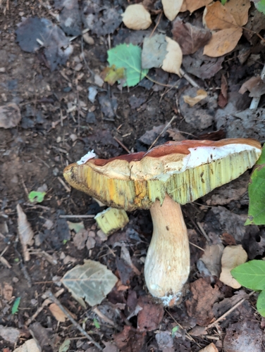
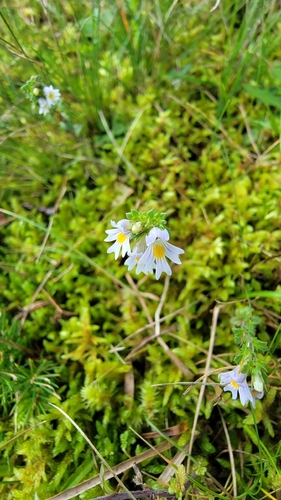
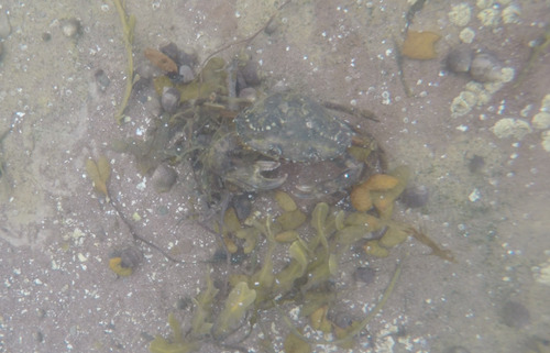
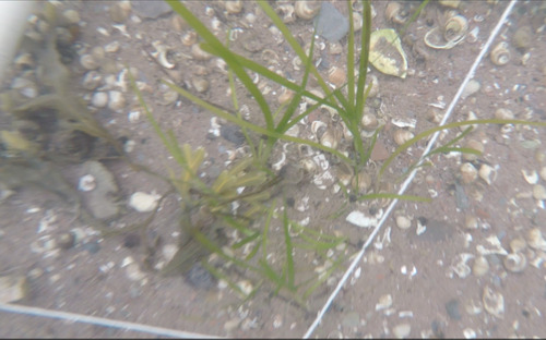
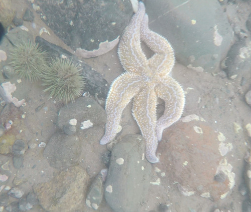
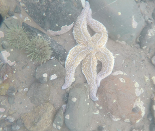
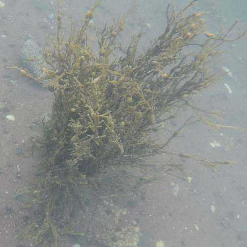
Research-grade observations from iNaturalist (within ~15 mi).
Events
Gallery
Sources
- • Wikipedia
- • Wikidata
- • USGS Earthquake Catalog (global feed)
- • GBIF (Global Biodiversity Information Facility)
- • iNaturalist
- • Open-Meteo / sunrise-sunset.org
- • Wikipedia Pageviews API