Browse / United States / California / Salinas
Salinas
Californiacity

Salinas
Total population
160,779
Median home value
$687,700
Bachelor's+
Median income
$87,837
Demographic figures from US Census Bureau · ACS 5-year estimates. Overview below cites Wikipedia and may reference a different year.
City facts
Sister cities
Facts from Wikidata (CC0).
Overview
Salinas is a city in and the county seat of Monterey County, California, United States. With a population of 163,542 in the 2020 Census, Salinas is the most populous city in Monterey County. Salinas is an urban area located along the eastern limits of the Monterey Bay Area, lying just south of the San Francisco Bay Area and 10 miles (16 km) southeast of the mouth of the Salinas River. The city is located at the mouth of the Salinas Valley, about eight miles (13 km) from the Pacific Ocean, and it has a climate more influenced by the ocean than the interior.
Read more on WikipediaHistory & geography
Geography
According to the United States Census Bureau, the city has a total area of , 99.86% of it land and 0.14% of it water. Today, the city is located mostly on leveled ground, with some rolling hills and wooded gulches with creeks remaining in the north-eastern Creekbridge and Williams Ranch neighborhoods, as well as the Laurel Heights section of East Salinas. The natural ecosystems accompanying the area's topography and environment have been recreated in Natividad Creek Park and adjacent Upper Carr Lake. The city rests about above sea level, and it is located roughly eight miles from the Pacific Ocean. The Gabilan and Santa Lucia mountain ranges border the Salinas Valley to the east and to the west, respectively. Both mountain ranges and the Salinas Valley run approximately south-east from Salinas towards King City. The Salinas River runs the length of the Salinas Valley and empties into the Pacific Ocean at the center of the Monterey Bay. During the summer months the river flows partially underground and it is this extensive underground aquifer that allows for irrigation of cropland in an area without much annual rainfall. Salinas has cool and moderate temperatures, due to the "natural air conditioner" that conveys ocean air and fog from the Monterey Bay to Salinas, while towns to the north and south of Salinas experience hotter summers, as mountains block the ocean air. Thus, Salinas weather is closer to that of the Central Coast of California, rather than that of inland valleys, and thus has a mild Mediterranean climate (Köppen Csb) with typical daily highs ranging from in December to in September. The record highest temperature was on September 2, 2017. The difference between ocean and air temperature also tends to create heavy morning fog during the summer…
Excerpted from the corresponding Wikipedia article (CC BY-SA).
Demographics & economy
Race & ethnicity
Source: US Census Bureau — American Community Survey, 5-year estimates.
Geography
Coordinates & boundaries from the US Census TIGER/Line shapefiles.
Climate
Current forecast
Forecast for Salinas, CA from NOAA NWS API.
Air quality
Industrial & pollution facilities
Natural hazard risk
Health (adults)
Age-adjusted prevalence estimates from CDC PLACES (latest release).
Walkability
Amenities nearby
Wildlife & biodiversity
Most-observed species
- Western GullLarus occidentalis Audubon, 1839 · Aves13,636
- House FinchHaemorhous mexicanus (P.L.Statius Müller, 1776) · Aves12,238
- Black PhoebeSayornis nigricans (Swainson, 1827) · Aves11,852
- American CrowCorvus brachyrhynchos C.L.Brehm, 1822 · Aves11,587
- Turkey VultureCathartes aura (Linnaeus, 1758) · Aves11,364
- Double-crested CormorantPhalacrocorax auritus (Lesson, 1831) · Aves10,943
- MallardAnas platyrhynchos Linnaeus, 1758 · Aves10,693
- Anna's HummingbirdCalypte anna (R.Lesson, 1829) · Aves10,639
Citizen-science & research observations from the Global Biodiversity Information Facility (GBIF).
Schools
Earthquake history
Most recent
- M 2.62 — 2026-09-1721 km E of Alum Rock, CA
- M 2.66 — 2026-08-115 km NW of Pinnacles, CA
- M 2.57 — 2026-08-116 km NW of Pinnacles, CA
- M 3.94 — 2026-08-116 km NW of Pinnacles, CA
- M 2.88 — 2026-08-105 km NW of Pinnacles, CA
- M 2.92 — 2026-08-106 km NNW of Pinnacles, CA
Events from the USGS Earthquake Catalog (global) (FDSN Event Web Service).
Photos
Sights & places nearby
Notable people from here


People born within ~10 km, from Wikidata (CC0). Click any name for their Wikipedia article.
Nearby places in California
Geography & sun
Elevation, sunrise/sunset and daylight from Open-Meteo. Solar climatology from NASA POWER.
Nearby airports
Public attention
Pageview totals from the Wikimedia Pageviews API.
Books about Salinas


Search results from Open Library.
Recent natural events nearby
- Wildfire Timber, Monterey, CaliforniaWildfires · 2026-08-09 · 33 mi
- Wildfire Plaskett, Monterey, CaliforniaWildfires · 2026-08-26 · 56 mi
- Wildfire GANN, Calaveras, CaliforniaWildfires · 2026-08-03 · 109 mi
- Wildfire DOME, Mariposa, CaliforniaWildfires · 2026-09-15 · 127 mi
- Wildfire PLAINS, San Luis Obispo, CaliforniaWildfires · 2026-08-12 · 127 mi
- Prescribed Fire CRAWFORD CORRAL RX, Tulare, CaliforniaWildfires · 2026-09-19 · 148 mi
- Wildfire FELIZ, Mendocino, CaliforniaWildfires · 2026-08-01 · 180 mi
- Wildfire LUCAS, Lake, CaliforniaWildfires · 2026-09-10 · 191 mi
Wildfires, storms and other events from NASA EONET (last 12 months, within 250 mi).
Ground air-quality sensors
Recently spotted species
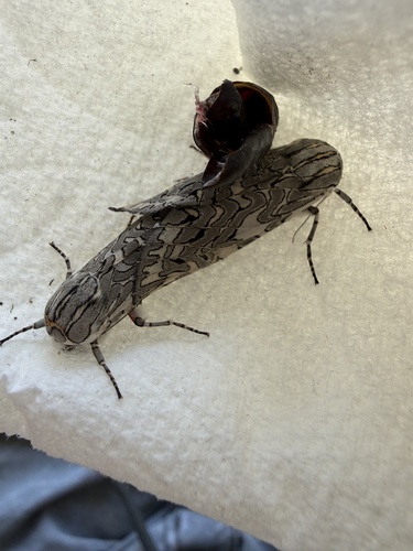
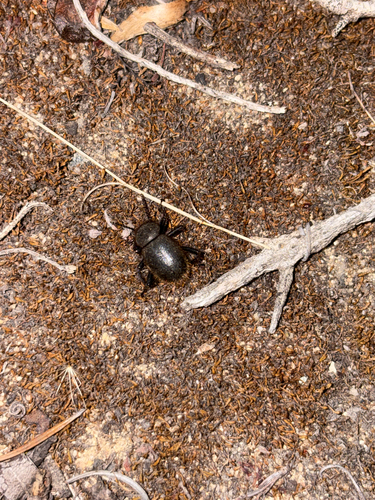
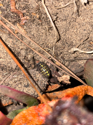
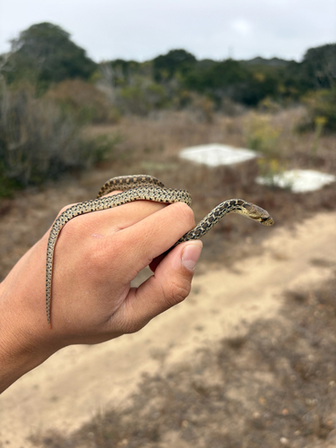
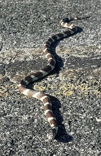
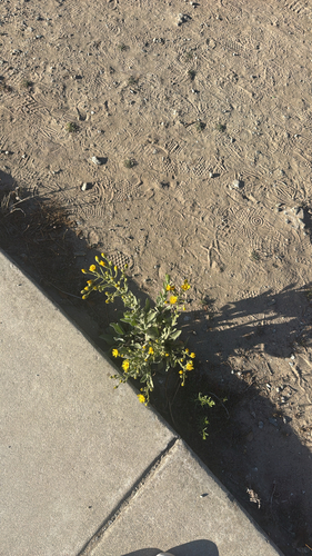
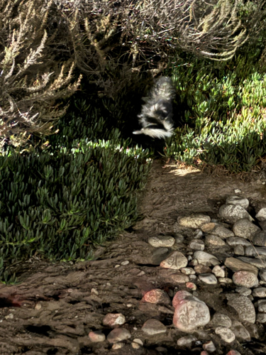
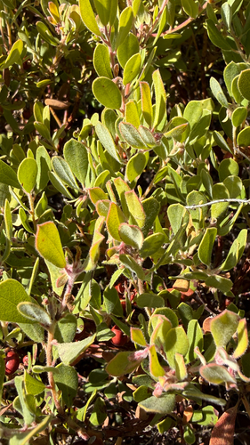
Research-grade observations from iNaturalist (within ~15 mi).
Nearest stream gauge
Events
Gallery
Sources
- • Wikipedia
- • US Census Bureau (ACS 5-year estimates)
- • NOAA National Weather Service
- • Wikidata
- • USGS Earthquake Catalog (global feed)
- • GBIF (Global Biodiversity Information Facility)
- • iNaturalist
- • CDC PLACES
- • Open-Elevation
- • Open-Meteo / sunrise-sunset.org
- • Wikipedia Pageviews API
- • Open Library
- • NASA EONET