Browse / United States / California / San Luis Obispo
San Luis Obispo
Californiacity

San Luis Obispo
Total population
48,491
Median home value
$935,100
Bachelor's+
Median income
$73,685
Founded
1772
Demographic figures from US Census Bureau · ACS 5-year estimates. Overview below cites Wikipedia and may reference a different year.
- Heat Advisory · ModerateHeat Advisory issued October 16 at 7:50PM PDT until October 17 at 8:00PM PDT by NWS Los Angeles/Oxnard CA
Source: NOAA National Weather Service.
City facts
Facts from Wikidata (CC0).
Overview
San Luis Obispo is a city in and the county seat of San Luis Obispo County, California, United States. Located on the Central Coast of California, San Luis Obispo is roughly halfway between the San Francisco Bay Area in the north and Greater Los Angeles in the south. The population was 47,063 at the 2020 census.
Read more on WikipediaHistory & geography
History
The earliest human inhabitants of the local area were the Chumash people. One of the earliest villages lies south of San Luis Obispo and reflects the landscape of the early Holocene when estuaries came farther inland. The Chumash people used marine resources of the inlets and bays along the Central Coast and inhabited a network of villages, including sites at Los Osos and Morro Creek. The tribal site on present-day San Luis Obispo was named . During the Spanish Empire expansion throughout the world, specifically in 1769, the Franciscan Junípero Serra received orders from Spain to bring the Catholic faith to the natives of Alta California; the idea was to unify the empire under the same religion and language. Mission San Diego de Alcalá was the first Spanish mission founded in Alta California that same year. On September 7, 1769, an expedition led by Gaspar de Portolá entered the San Luis Obispo area from coastal areas around today's Pismo Beach. One of the expedition's three diarists, padre Juan Crespí, recorded the name given to this area by the soldiers as Cañada de Los Osos ("cañada" translates as "valley" or "canyon," and Osos translates to "bears"). The party traveled north along San Luis Obispo Creek, turned west through Los Osos Valley, and reached Morro Bay on September 9. In 1770, Portola established the Presidio of Monterey and Junípero Serra founded the second mission, Mission San Carlos Borromeo de Carmelo in Monterey. The mission was moved to Carmel-by-the-Sea in the following year. In 1772, as the people of Presidio of Monterey and Mission San Carlos Borromeo de Carmelo faced starvation owing to a lack of supplies, Commander Pedro Fages, a member of the Portolá expedition, led a hunting expedition to la Cañada de los Osos ("Bears Canyon") to bring…
Geography
San Luis Obispo is located on U.S. Route 101, about north of Santa Maria. According to the United States Census Bureau, the city has a total area of , of which, is land and (1.09%) is water. San Luis Obispo is a seismically active area; there are a number of nearby faults including the San Andreas Fault. The Nine Sisters are a string of hills that partially run through San Luis Obispo. They are geologically noteworthy for being volcanic plugs. Six of the nine peaks are open to the public for recreation. San Luis Obispo experiences a warm Mediterranean climate (Köppen climate classification Csb). On average it has 50 days with measurable rain per year, mostly during winter months. Summers are generally warm and sunny, often with morning fog from the Pacific coast. Winters are generally not very cold, though below freezing lows occur 2.6 nights per year on average. Nights remain cool year round due to cold-current ocean air in summer and being in a valley subject to inversion, although seldom cold. The warmest night recorded was on September 22, 1939, and the coldest day at on December 11, 1932. Precipitation averages about per year, almost all of which falls between November and April.
Excerpted from the corresponding Wikipedia article (CC BY-SA).
Demographics & economy
Race & ethnicity
Source: US Census Bureau — American Community Survey, 5-year estimates.
Geography
Coordinates & boundaries from the US Census TIGER/Line shapefiles.
Climate
Current forecast
Forecast for San Luis Obispo, CA from NOAA NWS API.
Air quality
Industrial & pollution facilities
Natural hazard risk
Health (adults)
Age-adjusted prevalence estimates from CDC PLACES (latest release).
Walkability
Amenities nearby
Wildlife & biodiversity
Most-observed species
- American CrowCorvus brachyrhynchos C.L.Brehm, 1822 · Aves26,947
- Turkey VultureCathartes aura (Linnaeus, 1758) · Aves26,323
- House FinchHaemorhous mexicanus (P.L.Statius Müller, 1776) · Aves24,727
- Anna's HummingbirdCalypte anna (R.Lesson, 1829) · Aves24,345
- White-crowned SparrowZonotrichia leucophrys (J.R.Forster, 1772) · Aves23,258
- Black PhoebeSayornis nigricans (Swainson, 1827) · Aves21,189
- Western GullLarus occidentalis Audubon, 1839 · Aves20,682
- California/Woodhouse's Scrub-JayAphelocoma californica (Vigors, 1839) · Aves19,734
Citizen-science & research observations from the Global Biodiversity Information Facility (GBIF).
Schools
Largest nearby schools
- San Luis Obispo HighHigh · San Luis Obispo · 1,644 students · 21.1:1 ratio
- Laguna MiddleMiddle · San Luis Obispo · 789 students · 20.2:1 ratio
- Los Osos MiddleMiddle · Los Osos · 539 students · 20:1 ratio
- Pacheco ElementaryElementary · San Luis Obispo · 482 students · 23:1 ratio
- C L Smith ElementaryElementary · San Luis Obispo · 465 students · 21.1:1 ratio
- Judkins MiddleMiddle · Pismo Beach · 458 students · 19.1:1 ratio
- Los Ranchos ElementaryElementary · San Luis Obispo · 450 students · 23.7:1 ratio
- Hawthorne ElementaryElementary · San Luis Obispo · 430 students · 25.3:1 ratio
Public K–12 schools within ~10 mi from Urban Institute Education Data Portal (NCES Common Core of Data, 2022).
Earthquake history
Most recent
- M 2.57 — 2026-10-1328 km SSE of Lopez Point, CA
- M 2.54 — 2026-09-2112 km W of Lake Nacimiento, CA
- M 2.75 — 2026-08-234 km NW of Parkfield, CA
- M 2.54 — 2026-08-1712 km SSW of Lompoc, CA
- M 2.66 — 2026-08-1712 km S of Lompoc, CA
- M 2.53 — 2026-08-167 km SW of Atascadero, CA
Events from the USGS Earthquake Catalog (global) (FDSN Event Web Service).
Photos
Sights & places nearby
Notable people from here


People born within ~10 km, from Wikidata (CC0). Click any name for their Wikipedia article.
Nearby places in California
Geography & sun
Elevation, sunrise/sunset and daylight from Open-Meteo. Solar climatology from NASA POWER.
Nearby airports
Public attention
Pageview totals from the Wikimedia Pageviews API.
Books about San Luis Obispo
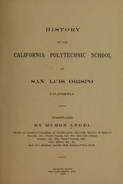
Search results from Open Library.
Recent natural events nearby
- Wildfire PLAINS, San Luis Obispo, CaliforniaWildfires · 2026-08-12 · 39 mi
- Wildfire Plaskett, Monterey, CaliforniaWildfires · 2026-08-26 · 61 mi
- Wildfire Timber, Monterey, CaliforniaWildfires · 2026-08-09 · 88 mi
- Wildfire BUZZARD, Kern, CaliforniaWildfires · 2026-08-05 · 102 mi
- Wildfire RIDGE, Los Angeles, CaliforniaWildfires · 2026-08-07 · 109 mi
- Wildfire CYRUS, Kern, CaliforniaWildfires · 2026-10-09 · 130 mi
- Prescribed Fire CRAWFORD CORRAL RX, Tulare, CaliforniaWildfires · 2026-09-19 · 132 mi
- Wildfire BOUQUET, Los Angeles, CaliforniaWildfires · 2026-10-03 · 137 mi
Wildfires, storms and other events from NASA EONET (last 12 months, within 250 mi).
Ground air-quality sensors
Recently spotted species

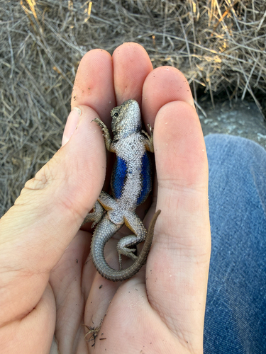
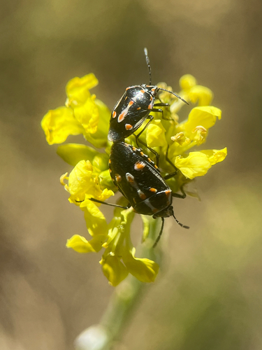
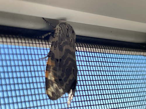
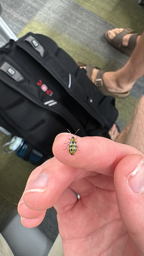
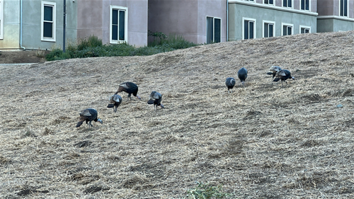
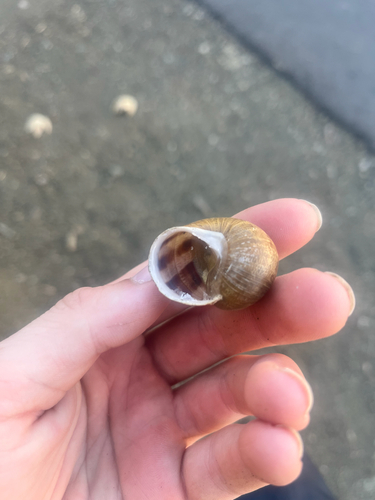
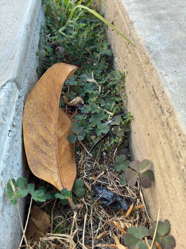
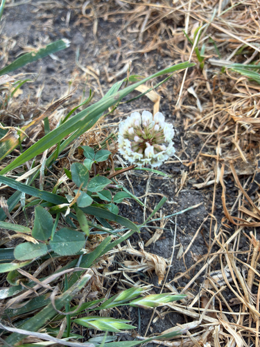
Research-grade observations from iNaturalist (within ~15 mi).
Nearest stream gauge
Events
Gallery
Sources
- • Wikipedia
- • US Census Bureau (ACS 5-year estimates)
- • NOAA National Weather Service
- • Wikidata
- • USGS Earthquake Catalog (global feed)
- • NCES via Urban Institute Education Data Portal
- • GBIF (Global Biodiversity Information Facility)
- • iNaturalist
- • CDC PLACES
- • Open-Meteo / sunrise-sunset.org
- • Wikipedia Pageviews API
- • Open Library
- • NASA EONET