Browse / United States / California / San Ramon
San Ramon
Californiacity

San Ramon
Total population
85,993
Median home value
$1,509,500
Bachelor's+
Median income
$196,161
Founded
1983
Air quality index
Demographic figures from US Census Bureau · ACS 5-year estimates. Overview below cites Wikipedia and may reference a different year.
City facts
Facts from Wikidata (CC0).
Overview
San Ramon is a city in Contra Costa County, California, United States, located within the San Ramon Valley, and 34 miles (55 km) east of San Francisco. San Ramon's population was 84,605 per the 2020 census, making it the 4th largest city in Contra Costa County, behind Concord, Richmond and Antioch.
Read more on WikipediaHistory & geography
Geography
Mount Diablo flanks the city to the northeast and is prominently visible from almost all parts of the city. The Las Trampas Regional Wilderness borders San Ramon's extreme northwest, at the northern end of Bollinger Canyon. The smaller Bishop Ranch Regional Preserve straddles San Ramon's western border, located approximately between Interstate 680 and the Alameda County line. The topography of San Ramon is varied, featuring a mix of the rolling hills of the Diablo Range and the flatter basin of the San Ramon Valley. The city is predominantly urban and residential with many new housing developments; however, much of the land around the city's perimeter regions remains undeveloped, and is covered by grasslands and oak tree orchards. During the drier months the grasses are golden, but with the precipitation of winter and spring, the grasses turn green. San Ramon's weather typifies a Mediterranean climate, seasonal, and moderate. Summers can range from warm to hot and dry, while winters are cool, wet and rather short. Its weather is similar to the adjacent cities of Danville, Dublin and Pleasanton. Fog can be infrequent but occurs normally in the western reaches of the city, at the eastern mouth of Crow Canyon, through which marine weather patterns funnel in from the San Francisco Bay via Castro Valley. It usually burns off by mid-to-late morning. Snow in the lower elevations of the San Francisco Bay Area (including East Bay) is generally considered extremely rare, however, the East Bay lower elevation cities are affected by chance of light snowfall or dusting twice in 5 years.
Excerpted from the corresponding Wikipedia article (CC BY-SA).
Demographics & economy
Race & ethnicity
Source: US Census Bureau — American Community Survey, 5-year estimates.
Geography
Coordinates & boundaries from the US Census TIGER/Line shapefiles.
Climate
Current forecast
Forecast for San Ramon, CA from NOAA NWS API.
Air quality
Current readings from Open-Meteo Air Quality API (Copernicus CAMS European reanalysis).
Industrial & pollution facilities
Natural hazard risk
Health (adults)
Age-adjusted prevalence estimates from CDC PLACES (latest release).
Walkability
Amenities nearby
Wildlife & biodiversity
Most-observed species
- Anna's HummingbirdCalypte anna (R.Lesson, 1829) · Aves28,942
- House FinchHaemorhous mexicanus (P.L.Statius Müller, 1776) · Aves28,924
- California/Woodhouse's Scrub-JayAphelocoma californica (Vigors, 1839) · Aves26,828
- Turkey VultureCathartes aura (Linnaeus, 1758) · Aves23,586
- American CrowCorvus brachyrhynchos C.L.Brehm, 1822 · Aves23,218
- California TowheeMelozone crissalis (Vigors, 1839) · Aves22,324
- Black PhoebeSayornis nigricans (Swainson, 1827) · Aves21,954
- Oak TitmouseBaeolophus inornatus (Gambel, 1845) · Aves21,858
Citizen-science & research observations from the Global Biodiversity Information Facility (GBIF).
Schools
Largest nearby schools
- Dougherty Valley HighHigh · San Ramon · 3,255 students · 26.3:1 ratio
- California HighHigh · San Ramon · 2,879 students · 25.7:1 ratio
- Monte Vista HighHigh · Danville · 2,243 students · 24.4:1 ratio
- San Ramon Valley HighHigh · Danville · 1,981 students · 24.5:1 ratio
- Windemere Ranch MiddleMiddle · San Ramon · 1,107 students · 25.7:1 ratio
- Gale Ranch MiddleMiddle · San Ramon · 1,075 students · 26.2:1 ratio
- Iron Horse MiddleMiddle · San Ramon · 1,009 students · 24.6:1 ratio
- Pine Valley MiddleMiddle · San Ramon · 957 students · 29:1 ratio
Public K–12 schools within ~10 mi from Urban Institute Education Data Portal (NCES Common Core of Data, 2022).
Earthquake history
Most recent
- M 2.54 — 2026-10-1510 km ESE of Gilroy, CA
- M 2.51 — 2026-09-295 km W of Yountville, CA
- M 2.6 — 2026-09-2726 km WSW of Westley, CA
- M 3.32 — 2026-09-2727 km WSW of Westley, CA
- M 2.51 — 2026-09-1910 km ENE of Milpitas, CA
- M 2.56 — 2026-09-1721 km E of Alum Rock, CA
Events from the USGS Earthquake Catalog (global) (FDSN Event Web Service).
Photos
Sights & places nearby
Notable people from here


People born within ~10 km, from Wikidata (CC0). Click any name for their Wikipedia article.
Geography & sun
Elevation, sunrise/sunset and daylight from Open-Meteo. Solar climatology from NASA POWER.
Nearby airports
Public attention
Pageview totals from the Wikimedia Pageviews API.
Books about San Ramon
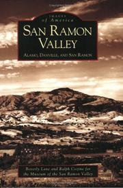

Search results from Open Library.
Recent natural events nearby
- Wildfire GANN, Calaveras, CaliforniaWildfires · 2026-08-03 · 68 mi
- Wildfire Timber, Monterey, CaliforniaWildfires · 2026-08-09 · 108 mi
- Wildfire LUCAS, Lake, CaliforniaWildfires · 2026-09-10 · 117 mi
- Wildfire LUCAS, Lake, CaliforniaWildfires · 2026-09-10 · 117 mi
- Wildfire DOME, Mariposa, CaliforniaWildfires · 2026-09-15 · 127 mi
- Wildfire Plaskett, Monterey, CaliforniaWildfires · 2026-08-26 · 132 mi
- Wildfire FLORISTON, Nevada, CaliforniaWildfires · 2026-09-16 · 153 mi
- Wildfire Bull, Washoe, NevadaWildfires · 2026-10-02 · 161 mi
Wildfires, storms and other events from NASA EONET (last 12 months, within 250 mi).
Ground air-quality sensors
Recently spotted species
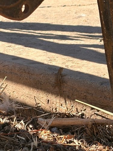
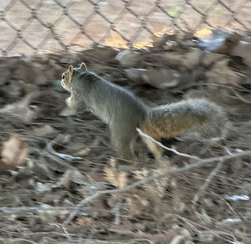


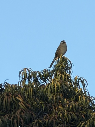
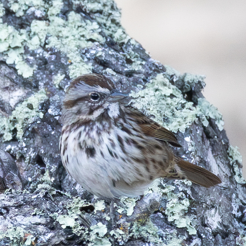


Research-grade observations from iNaturalist (within ~15 mi).
Nearest stream gauge
Events
Gallery
Geotagged photos within ~6 miles of San Ramon, from Wikimedia Commons contributors.
 0.6 mi
 0.6 mi
 0.6 mi
 0.7 mi
.jpg) 0.9 mi
0.9 mi 1.2 mi
 1.2 mi
 1.2 mi
 1.2 mi
 1.2 mi
 1.2 mi
 1.2 mi
 1.2 mi
 1.2 mi
 1.2 mi
 1.2 mi
 1.2 mi
.jpg) 1.2 mi
1.2 mi 1.2 mi
 1.3 mi
 1.4 mi
 1.5 mi
 1.5 mi
 1.5 mi
Photos via Wikimedia Commons — see each image page for license & attribution.
Sources
- • Wikipedia
- • US Census Bureau (ACS 5-year estimates)
- • NOAA National Weather Service
- • Wikimedia Commons
- • Wikidata
- • Open-Meteo Air Quality (CAMS)
- • USGS Earthquake Catalog (global feed)
- • NCES via Urban Institute Education Data Portal
- • GBIF (Global Biodiversity Information Facility)
- • iNaturalist
- • CDC PLACES
- • Open-Meteo / sunrise-sunset.org
- • Wikipedia Pageviews API
- • Open Library
- • NASA EONET