Browse / United States / California / Santa Cruz
Santa Cruz
Californiacity

Santa Cruz
Total population
61,607
Median home value
$1,209,000
Bachelor's+
Median income
$115,475
Founded
1791
Air quality index
Demographic figures from US Census Bureau · ACS 5-year estimates. Overview below cites Wikipedia and may reference a different year.
- Beach Hazards Statement · ModerateBeach Hazards Statement issued June 27 at 1:05PM PDT until July 1 at 5:00AM PDT by NWS San Francisco CA
Source: NOAA National Weather Service.
City facts
Sister cities
- Riva Trigoso
Facts from Wikidata (CC0).
Overview
Santa Cruz is the largest city in, and the county seat of, Santa Cruz County, California, United States. As of the 2020 census, the city population was 62,956. Situated on the northern edge of Monterey Bay, Santa Cruz is a popular tourist destination, owing to its beaches, surf culture, and historic landmarks.
Read more on WikipediaHistory & geography
History
Indigenous people have been living in the Santa Cruz region for at least 12,000 years. Prior to the arrival of Spanish soldiers, missionaries and colonists in the late 18th century, the area was home to the Awaswas nation of Ohlone people, who lived in a territory stretching slightly north of Davenport to Rio Del Mar. The Awaswas tribe was made up of no more than 1,000 people and their language is now extinct. The only remnants of their spoken language are three local place names: Aptos, Soquel and Zayante; and the name of a native shellfish – abalone. At the time of colonization, the Indigenous people belonged to the Uypi tribe of the Awaswas-speaking dialectical group. They called the area Aulinta. The first European land exploration of Alta California, the Spanish Portolá expedition led by Gaspar de Portolá, passed through the area on its way north, still searching for the "port of Monterey" described by Sebastian Vizcaino in 1602. The party forded the river (probably near where the Soquel Avenue bridge now stands) and camped nearby on October 17, 1769. Franciscan missionary Juan Crespí, traveling with the expedition, noted in his diary that, "This river was named San Lorenzo." (for Saint Lawrence). Next morning, the expedition set out again, and Crespi noted that, "Five hundred steps after we started we crossed a good arroyo of running water which descends from some high hills where it rises. It was named "El Arroyo de la Santísima Cruz, which translates literally as "The Stream of the Most Holy Cross". In 1791, Father Fermín Lasuén continued the use of Crespi's name when he declared the establishment of La Misión de la Exaltación de la Santa Cruz (also known as Mission Santa Cruz) for the conversion of the Awaswas of Chatu-Mu and surrounding Ohlone villages.…
Geography
Santa Cruz is on the northern edge of Monterey Bay. The area is losing several feet of beach a year. According to the United States Census Bureau, the city covers an area of , of which is land, and , or 19.51%, is water. To Santa Cruz locals the area is often discussed in terms of distinct regions: east side and west side. The "westside" of Santa Cruz is commonly accepted to be anything west of the San Lorenzo River and the "eastside" east of the San Lorenzo River all the way to neighboring towns of Soquel and Capitola. The beginning of Aptos is seen as the end boundary for the "eastside". Santa Cruz has mild weather throughout the year, experiencing a warm-summer Mediterranean climate characterized by mild, wet winters and warm, mostly dry summers. Due to its proximity to Monterey Bay, fog and low overcast are common during the night and morning, especially in the summer. Santa Cruz frequently experiences an Indian summer, with the year's warmest temperatures often occurring in the autumn. Since the city faces south rather than west with mountains to its north, temperatures are usually several degrees warmer than in coastal areas to its northwest.
Excerpted from the corresponding Wikipedia article (CC BY-SA).
Demographics & economy
Race & ethnicity
Source: US Census Bureau — American Community Survey, 5-year estimates.
Geography
Coordinates & boundaries from the US Census TIGER/Line shapefiles.
Climate
Current forecast
Forecast for Santa Cruz, CA from NOAA NWS API.
Air quality
Current readings from Open-Meteo Air Quality API (Copernicus CAMS European reanalysis).
Industrial & pollution facilities
Natural hazard risk
Health (adults)
Age-adjusted prevalence estimates from CDC PLACES (latest release).
Walkability
Amenities nearby
Wildlife & biodiversity
Most-observed species
- American CrowCorvus brachyrhynchos C.L.Brehm, 1822 · Aves43,563
- Anna's HummingbirdCalypte anna (R.Lesson, 1829) · Aves42,667
- Chestnut-backed ChickadeePoecile rufescens (J.K.Townsend, 1837) · Aves37,891
- House FinchHaemorhous mexicanus (P.L.Statius Müller, 1776) · Aves37,889
- Black PhoebeSayornis nigricans (Swainson, 1827) · Aves36,591
- Dark-eyed JuncoJunco hyemalis (Linnaeus, 1758) · Aves34,924
- California TowheeMelozone crissalis (Vigors, 1839) · Aves33,190
- California/Woodhouse's Scrub-JayAphelocoma californica (Vigors, 1839) · Aves31,036
Citizen-science & research observations from the Global Biodiversity Information Facility (GBIF).
Schools
Largest nearby schools
- Aptos HighHigh · Aptos · 1,360 students · 20.9:1 ratio
- Santa Cruz HighHigh · Santa Cruz · 1,092 students · 21.4:1 ratio
- Harbor HighHigh · Santa Cruz · 1,023 students · 18.9:1 ratio
- Soquel HighHigh · Soquel · 974 students · 21.2:1 ratio
- Scotts Valley HighHigh · Scotts Valley · 690 students · 22.3:1 ratio
- New Brighton MiddleMiddle · Capitola · 648 students · 21.6:1 ratio
- San Lorenzo Valley HighHigh · Felton · 643 students · 22.2:1 ratio
- San Lorenzo Valley ElementaryElementary · Felton · 598 students · 23:1 ratio
Public K–12 schools within ~10 mi from Urban Institute Education Data Portal (NCES Common Core of Data, 2022).
Earthquake history
Photos
Sights & places nearby
Notable people from here


People born within ~10 km, from Wikidata (CC0). Click any name for their Wikipedia article.
Nearby places in California
- Pasatiempo2.1 mi away
- Paradise Park2.2 mi away
- Pleasure Point3.7 mi away
- Felton5.1 mi away · pop. 4,093
- Mount Hermon5.4 mi away · pop. 939
- Ben Lomond7.7 mi away · pop. 6,858
- Rio del Mar8.4 mi away · pop. 9,201
- Lompico9.7 mi away
- Pajaro Dunes14.7 mi away
- Moss Landing18 mi away
- Elkhorn20.8 mi away
- Castroville21.3 mi away
Geography & sun
Elevation, sunrise/sunset and daylight from Open-Meteo. Solar climatology from NASA POWER.
Nearby airports
Public attention
Pageview totals from the Wikimedia Pageviews API.
Books about Santa Cruz


Search results from Open Library.
Recent natural events nearby
- Wildfire Timber, Monterey, CaliforniaWildfires · 2026-08-09 · 55 mi
- Wildfire Plaskett, Monterey, CaliforniaWildfires · 2026-08-26 · 82 mi
- Wildfire GANN, Calaveras, CaliforniaWildfires · 2026-08-03 · 105 mi
- Wildfire DOME, Mariposa, CaliforniaWildfires · 2026-09-15 · 139 mi
- Wildfire PLAINS, San Luis Obispo, CaliforniaWildfires · 2026-08-12 · 156 mi
- Wildfire LUCAS, Lake, CaliforniaWildfires · 2026-09-10 · 165 mi
- Wildfire LUCAS, Lake, CaliforniaWildfires · 2026-09-10 · 165 mi
- Prescribed Fire CRAWFORD CORRAL RX, Tulare, CaliforniaWildfires · 2026-09-19 · 171 mi
Wildfires, storms and other events from NASA EONET (last 12 months, within 250 mi).
Ground air-quality sensors
Recently spotted species
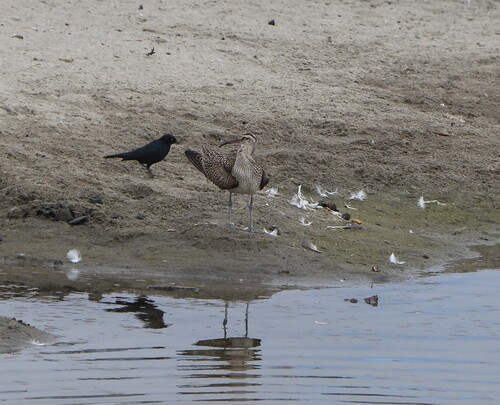
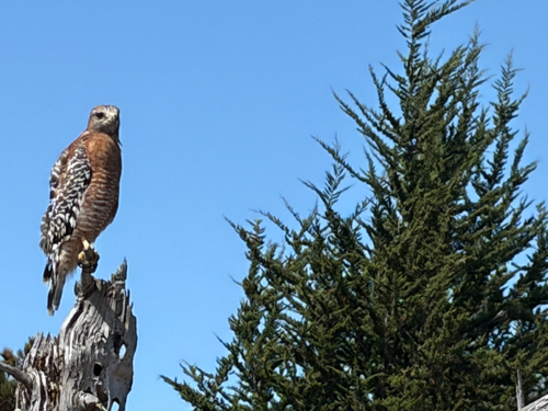
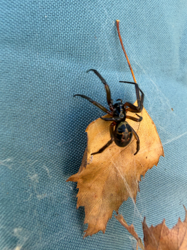
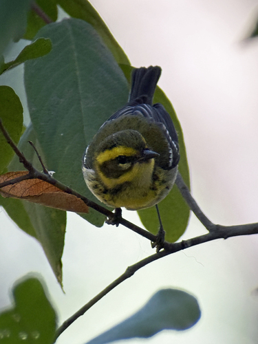
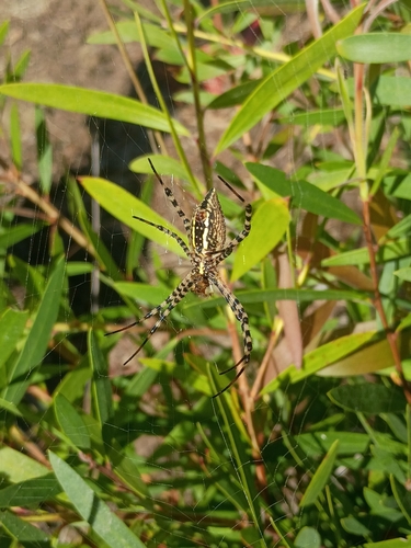
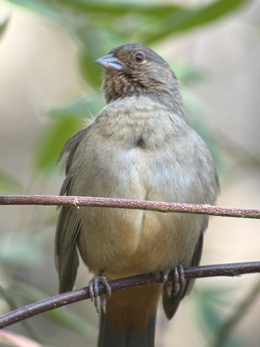
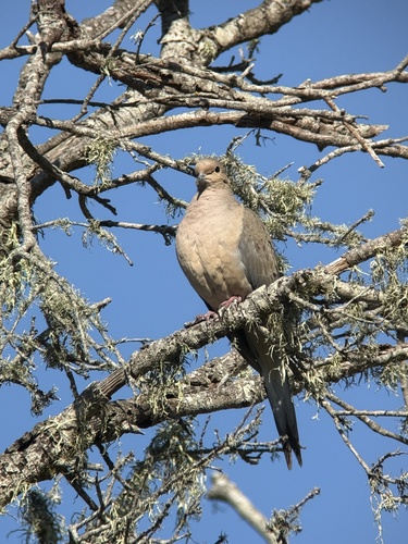
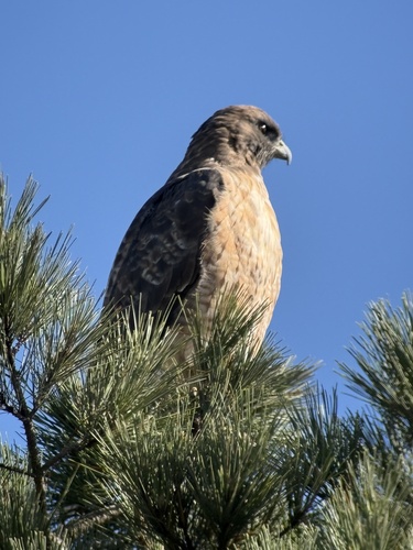
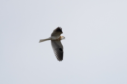
Research-grade observations from iNaturalist (within ~15 mi).
Nearest stream gauge
Events
Gallery
Sources
- • Wikipedia
- • US Census Bureau (ACS 5-year estimates)
- • NOAA National Weather Service
- • Wikidata
- • Open-Meteo Air Quality (CAMS)
- • NCES via Urban Institute Education Data Portal
- • GBIF (Global Biodiversity Information Facility)
- • iNaturalist
- • CDC PLACES
- • Open-Meteo / sunrise-sunset.org
- • Wikipedia Pageviews API
- • Open Library
- • NASA EONET