Browse / Canada / Ontario / Sarnia
Sarnia
Ontariocity

Sarnia
Total population
72,366
Demographic figures from Statistics Canada. Overview below cites Wikipedia and may reference a different year.
City facts
Overview
Sarnia is a city in Lambton County, Ontario, Canada. It had a 2021 population of 72,047, and is the largest city on Lake Huron. Sarnia is located on the eastern bank of the junction between the Upper and Lower Great Lakes, where Lake Huron flows into the St. Clair River in the Southwestern Ontario region, which forms the Canada–United States border, directly across from Port Huron, Michigan.
History & geography
Geography
Coordinates & boundaries from the US Census TIGER/Line shapefiles.
Climate
Air quality
Walkability
Amenities nearby
Wildlife & biodiversity
Most-observed species
- Northern CardinalCardinalis cardinalis (Linnaeus, 1758) · Aves13,227
- Canada Goose (canadensis Group)Branta canadensis (Linnaeus, 1758) · Aves12,802
- American CrowCorvus brachyrhynchos C.L.Brehm, 1822 · Aves12,416
- Blue JayCyanocitta cristata (Linnaeus, 1758) · Aves12,350
- Mourning DoveZenaida macroura (Linnaeus, 1758) · Aves12,111
- American RobinTurdus migratorius Linnaeus, 1766 · Aves11,483
- American GoldfinchSpinus tristis (Linnaeus, 1758) · Aves9,929
- Black-capped ChickadeePoecile atricapillus (Linnaeus, 1766) · Aves9,845
Citizen-science & research observations from the Global Biodiversity Information Facility (GBIF).
Earthquake history
Most recent
- M 2.5 — 2022-05-232 km NNW of Corunna, Canada
- M 2.6 — 2017-05-1418 km ENE of Leamington, Canada
- M 3 — 2011-02-2318 km NE of Leamington, Canada
Events from the USGS Earthquake Catalog (global) (FDSN Event Web Service).
Photos
Sights & places nearby
Notable people from here


People born within ~10 km, from Wikidata (CC0). Click any name for their Wikipedia article.
Geography & sun
Nearby airports
Public attention
Books about this place
Recent natural events nearby
- Wells Rd Unit 1 RX Prescribed Fire, Iosco, MichiganWildfires · 2026-04-22 · 114 mi
- River Road 16 RX Prescribed Fire, Iosco, MichiganWildfires · 2026-04-19 · 116 mi
- KALKASKA-RX 61150021 Fletcher Unit 2 Prescribed Fire, Kalkaska, MichiganWildfires · 2026-05-28 · 165 mi
- Barren Plains Units 1 & 3 RX Prescribed Fire, Lake, MichiganWildfires · 2026-04-19 · 181 mi
- Baldwin Fuels 6 RX Prescribed Fire, Lake, MichiganWildfires · 2026-04-23 · 186 mi
- Peacock 545 and 159 RX Prescribed Fire, Lake, MichiganWildfires · 2026-04-20 · 190 mi
- Tyndall 469 & 143 RX Prescribed Fire, Mason, MichiganWildfires · 2026-04-26 · 199 mi
- Peterson Road RX Prescribed Fire, Benzie, MichiganWildfires · 2026-05-11 · 220 mi
Wildfires, storms and other events from NASA EONET (last 12 months, within 250 mi).
Ground air-quality sensors
Recently spotted species
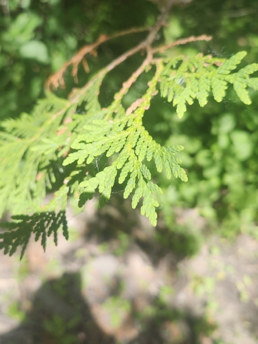
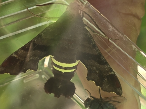
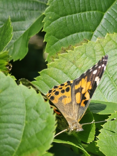
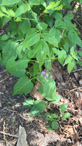
Research-grade observations from iNaturalist (within ~15 mi).
Events
Gallery
Geotagged photos within ~6 miles of Sarnia, from Wikimedia Commons contributors.
 0.2 mi
 0.3 mi
.jpg) 0.3 mi
0.3 mi.jpg) 0.3 mi
0.3 mi.jpg) 0.3 mi
0.3 mi.jpg) 0.3 mi
0.3 mi.jpg) 0.3 mi
0.3 mi.jpg) 0.3 mi
0.3 mi.jpg) 0.3 mi
0.3 mi.jpg) 0.3 mi
0.3 mi 0.3 mi
_and_Betty_Lindsay_work_in_the_Polymer_Rubber_Corporation_laboratory,_Sarnia,_Ontario_(39243396120).jpg) 0.3 mi
0.3 mi_and_Maxine_Cook_(40159225215).jpg) 0.3 mi
0.3 mi.jpg) 0.3 mi
0.3 mi_and_Kathleen_Killoran_(39243396320).jpg) 0.3 mi
0.3 mi.jpg) 0.3 mi
0.3 mi.jpg) 0.3 mi
0.3 mi.jpg) 0.3 mi
0.3 mi.jpg) 0.3 mi
0.3 mi.jpg) 0.3 mi
0.3 mi.jpg) 0.3 mi
0.3 mi.jpg) 0.3 mi
0.3 mi.jpg) 0.3 mi
0.3 mi.jpg) 0.3 mi
0.3 miPhotos via Wikimedia Commons — see each image page for license & attribution.
Official Identifiers
StatCan — Statistics Canada
- SGC code
- 3538030
- Population (Wikidata)
- 72,320
- Wikidata
- Q34106
Standard Geographical Classification (SGC) via Wikidata P3012
Sources
- • Wikipedia
- • Wikimedia Commons
- • Wikidata
- • USGS Earthquake Catalog (global feed)
- • GBIF (Global Biodiversity Information Facility)
- • iNaturalist
- • NASA EONET
- • StatCan — Statistics Canada — Standard Geographical Classification (SGC) via Wikidata P3012