Browse / Canada / Ontario / Sarsfield
Sarsfield
Ontariovillage

Sarsfield
Demographic figures from Statistics Canada. Overview below cites Wikipedia and may reference a different year.
City facts
Overview
Sarsfield, Ontario is a village in Cumberland Ward in the east portion of the City of Ottawa in the former township of Cumberland.
Read more on WikipediaHistory & geography
History
The first residents of Sarsfield were mostly French-Canadians from Lower Canada. In 1854, families began to establish in the Sarsfield region. Family names at that time included: Potvin, St-Denis, D'Aoust, Lafrance, Dessaint and Ethier. One of these colonizers, Sévère D'Aoust, bought land from the Crown and later gave part of this land for the construction of a Roman Catholic church. The construction of the church had such an impact on the village that it was known as Daoust's Corner. The region was also known as Bear Brook. Construction for the new church was completed in 1886. The church celebrated its 125th anniversary in 2011. In June 2011, strong winds and intense lightning caused the churches's steeple to fall off. It was replaced a few months later. It was destroyed a second time after the May 2022 Canadian derecho The village was renamed Sarsfield in 1874 when an Irishman, Michael O'Meara, opened a post office and gave it the name of an Irish hero, Patrick Sarsfield. In 2000, the Township of Cumberland was amalgamated to the City of Ottawa.
Excerpted from the corresponding Wikipedia article (CC BY-SA).
Geography
Coordinates & boundaries from the US Census TIGER/Line shapefiles.
Climate
Air quality
Walkability
Amenities nearby
Wildlife & biodiversity
Earthquake history
Photos
Sights & places nearby
Notable people from here


People born within ~10 km, from Wikidata (CC0). Click any name for their Wikipedia article.
Geography & sun
Elevation, sunrise/sunset and daylight from Open-Meteo. Solar climatology from NASA POWER.
Nearby airports
Public attention
Pageview totals from the Wikimedia Pageviews API.
Books about Sarsfield
Search results from Open Library.
Recent natural events nearby
Ground air-quality sensors
Recently spotted species
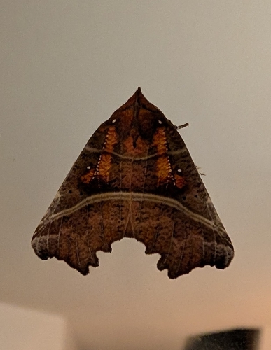
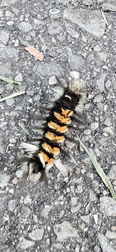
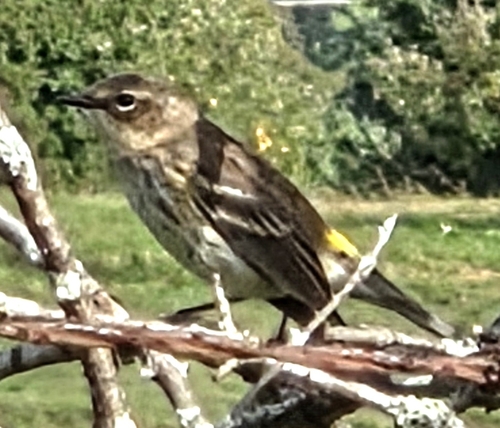
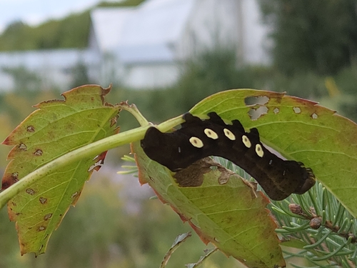
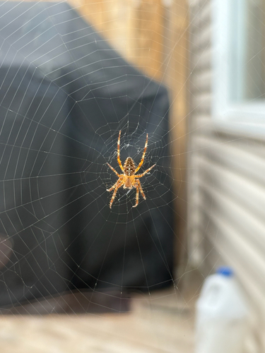
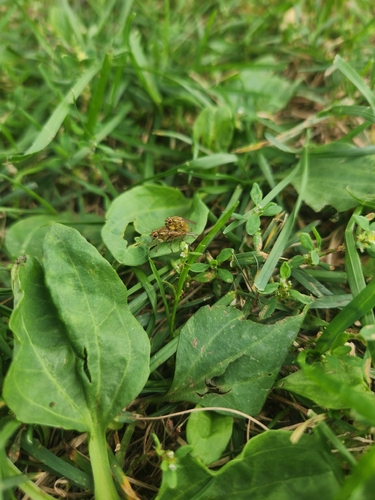
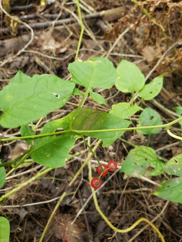
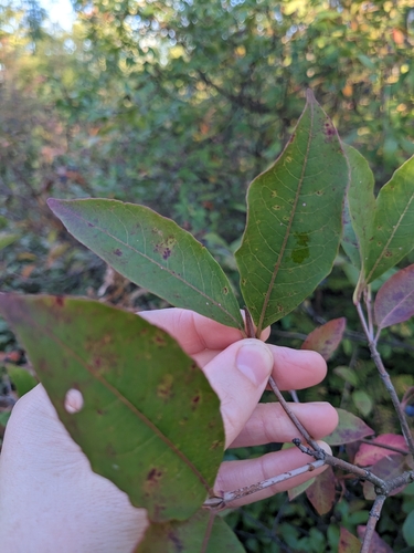
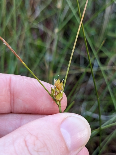
Research-grade observations from iNaturalist (within ~15 mi).
Events
Gallery
Sources
- • Wikipedia
- • Wikidata
- • iNaturalist
- • Open-Meteo / sunrise-sunset.org
- • Wikipedia Pageviews API
- • Open Library