Browse / Canada / Ontario / Sault Ste. Marie
Sault Ste. Marie
Ontariocity

Sault Ste. Marie
Total population
75,141
Demographic figures from Statistics Canada. Overview below cites Wikipedia and may reference a different year.
City facts
Overview
Sault Ste. Marie is a city in Northern Ontario, Canada, on the north shore of the St. Mary's River directly across from its "twin city", Sault Ste. Marie, in the U.S. state of Michigan. The city's population was 72,051 at the 2021 census, making it the third most populous city in Northern Ontario.
Read more on WikipediaHistory & geography
History
Prior to the arrival of Europeans in the 1620s, the area that is now Sault Ste. Marie was shared by the Ojibwe, Odawa and Potawatomi whose Algonkian ancestors had come from the east around 1200. The rapids created an impediment to travel and an obvious stopping point for voyages west to Lake Superior or east to Lake Huron. In addition, the location offered a strong strategic position to observe movement along the river. The Indigenous people drew on the ample resources of the area including wild game and berries, materials to build shelters, and most importantly sturgeon in the spring and abundant whitefish in the fall. The Ojibwe called this area , meaning "place of the rapids" and maintained a permanent settlement of about 150 to 200 people. Baawitigong was also an important meeting place for the broader family of Algonquin peoples and would grow to thousands during the whitefish season each year. The very first European recorded to have seen the rapids was French explorer Étienne Brûlé, whose 1621 voyage to the mouth of Lake Superior took him, together with his Huron guides, along the north channel of Lake Huron. The French named this area of rapids Sault de Gaston in honour of Gaston, Duke of Orléans, the brother of King Louis XIII. This is the name that appears on Samuel de Champlain's 1632 map of New France based on descriptions from Brûlé and others. In 1668, French Jesuit missionaries renamed the area Sault Sainte-Marie, and established a mission settlement on the river's south bank, making Sault Ste. Marie, Michigan one of the oldest French settlements in North America. Based on his voyages with the Jesuits the year before, explorer Louis Jolliet marked the area "Le Sault St. Marie" on his 1674 map. Sault Ste. Marie formed a key crossroads of the fur…
Excerpted from the corresponding Wikipedia article (CC BY-SA).
Geography
Coordinates & boundaries from the US Census TIGER/Line shapefiles.
Climate
Air quality
Walkability
Amenities nearby
Wildlife & biodiversity
Earthquake history
Photos
Sights & places nearby
Notable people from here


People born within ~10 km, from Wikidata (CC0). Click any name for their Wikipedia article.
Nearby places in Ontario
- Garden River First Nation8.8 mi away
- Richards Landing20.8 mi away
- Desbarats22.7 mi away
- Bruce Mines29.7 mi away
- Batchawana Bay31.4 mi away
- Thessalon40.9 mi away
- Iron Bridge55.4 mi away
- Blind River69.4 mi away
- Algoma Mills75.6 mi away
- Sheshegwaning82 mi away · pop. 113
- Serpent River88 mi away
- Michipicoten River Village101 mi away
Geography & sun
Elevation, sunrise/sunset and daylight from Open-Meteo. Solar climatology from NASA POWER.
Nearby airports
Public attention
Pageview totals from the Wikimedia Pageviews API.
Books about Sault Ste. Marie

Search results from Open Library.
Recent natural events nearby
Ground air-quality sensors
Recently spotted species
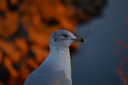
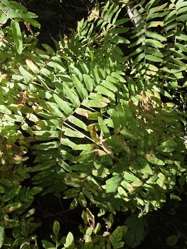
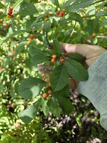
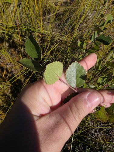
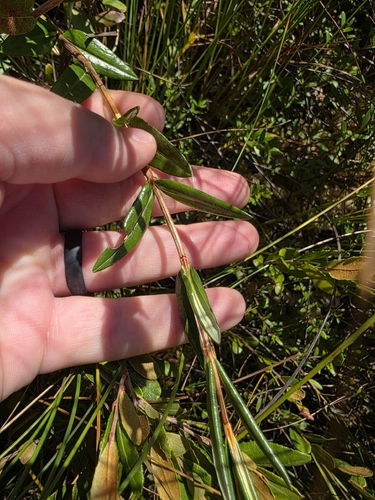
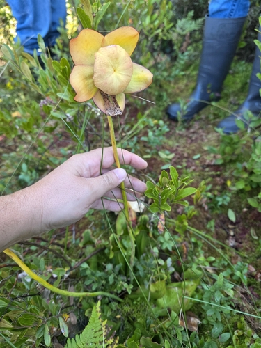
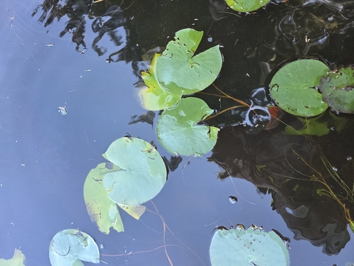
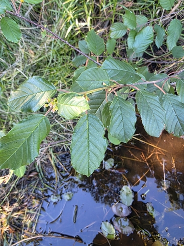

Research-grade observations from iNaturalist (within ~15 mi).
Events
Gallery
Official Identifiers
StatCan — Statistics Canada
- SGC code
- 3557061
- Population (Wikidata)
- 73,368
- Wikidata
- Q463165
Standard Geographical Classification (SGC) via Wikidata P3012
Sources
- • Wikipedia
- • Wikidata
- • iNaturalist
- • Open-Meteo / sunrise-sunset.org
- • Wikipedia Pageviews API
- • Open Library
- • StatCan — Statistics Canada — Standard Geographical Classification (SGC) via Wikidata P3012