Browse / Canada / Quebec / Sayabec
Sayabec
Quebecvillage

Sayabec
Total population
1,845
Founded
1982
Demographic figures from Statistics Canada. Overview below cites Wikipedia and may reference a different year.
City facts
Facts from Wikidata (CC0).
Overview
Sayabec is a municipality located in the La Matapédia Regional County Municipality (RCM) in Bas-Saint-Laurent, Quebec, Canada. It is located in the Matapédia Valley between the Chic-Choc Mountains of the Appalachian near Lake Matapédia. The main activities of the village are agriculture and forestry. It has a population of approximately 2,000, the third biggest municipality in its RCM after Amqui and Causapscal. Due to the presence of the chipboards plant called Panval, the biggest industry of the valley, Sayabec is an important regional economic centre.
Read more on WikipediaHistory & geography
History
The region was first frequented by the Mi'kmaq First Nation, beginning before the 17th century. In 1694, the lordship of Lake Madapequia was granted to Charles-Nicolas-Joseph D'Amours by the New France's governor, Louis de Buade de Frontenac. However, despite the laws of the time, this owner never inhabited nor exploited this territory, and he didn't officially bequeathed it. It is the construction of Kempt Road from 1830 to 1832 and Matapédia Road from 1847 to 1862 that allowed the colonization of the Matapédia Valley. Afterwards, the Intercolonial Railway, built from 1870 to 1872, has been an important catalyst for the development of the forest industry in the valley. The first inhabitant of Matapédia Valley was Pierre Brochu (1795-1871) born in Saint-Vallier, Bellechasse, who settled down at the tip of Matapédia Lake in 1833. He was operating a guard post along Kempt Road to offer relief and lodging to travellers and postilions. He occupied this position until his death in 1871. Around 1850 he sat up a sawmill at the head of Matapédia Lake. After his death his second wife Marcella Dumas continued to cultivate the land at this place for eight years. Even if the first settler established himself as soon as 1833, it is the establishment of John Fenderson Company at the end of the 19th century that attracted more settlers in Sayabec. From this moment, more settlers, mainly from Rimouski and Matane counties, moved to Sayabec to work in the sawmills or to clear lands. From then on the forestry vocation of Sayabec was set and more people came to work in the sawmills then to settle as farmers. The Fenderson family was the first real industrials of the valley. They bought a shingle mill in 1896. This mill was destroyed by fire the next year, and John Fenderson built a new…
Geography
Sayabec is located to the south of Saint Lawrence River on the Gaspé Peninsula in the Matapédia Valley. It is located 375 km to the northeast of Quebec City, 350 km to the west of Gaspé, Quebec and 100 km to the north of New Brunswick. The main cities in the vicinity of Sayabec are Rimouski at 60 km and Mont-Joli at 30 km to the west, Matane at 40 km to the north and Amqui at 20 km to the east. Bordering municipalities are Saint-Moïse to the west, Val-Brillant to the east, Saint-Cléophas to the south and Sainte-Paule to the north. Sayabec is divided into two sections: the main section located near Lake Matapédia, and a second section near Lake Malcolm known as the hamlet of Lac-Malcolm. Sayabec covers 130 km2. Forests cover 47.9% of this territory, 8.4% is water and the rest (43.7%) is treeless. Approximately 35% of the territory is propitious for agriculture. Sayabec is part of La Matapédia Regional County Municipality in the administrative region of Bas-Saint-Laurent. The municipality is part of the touristic region of Gaspésie. The geography of Sayabec is located in the mountains range of the Appalachian on a side of Chic-Choc Mountains in the section of Notre Dame Mountains. It is at an altitude of 200 m and the summits reach 350 m. The territory of Sayabec encompasses two watersheds. The first one sheds into Lake Matapédia, and covers approximately 60% of the territory. It includes Lake Matapédia as well as Sayabec and Saint Pierre Rivers. Lake Matapédia is known for lake and brook trout fishing. The second watershed empties into Blanche River and covers 40% of the territory. It includes mainly Malcolm and Squaw Lakes as well as Blanche, Arthur, Edouard and Sauvages Rivers. Malcolm Lake to the north of the village is…
Excerpted from the corresponding Wikipedia article (CC BY-SA).
Geography
Coordinates & boundaries from the US Census TIGER/Line shapefiles.
Climate
Air quality
Walkability
Amenities nearby
Wildlife & biodiversity
Earthquake history
Photos
Sights & places nearby
Notable people from here
Nearby places in Quebec
- Saint-Luc-de-Matane18.7 mi away
- Petit-Matane23.5 mi away
- Sainte-Luce-sur-Mer31.9 mi away
- Sainte-Blandine38.1 mi away
- Saint-Narcisse-de-Rimouski39.3 mi away
- Sainte-Odile-sur-Rimouski40.4 mi away
- Les Méchins43.8 mi away
- Les Buissons48.6 mi away
- Chute-aux-Outardes50.3 mi away
- Saint-Fabien57.2 mi away
- Saint-Michel-du-Squatec67.2 mi away
- Nouvelle69.9 mi away
Geography & sun
Elevation, sunrise/sunset and daylight from Open-Meteo. Solar climatology from NASA POWER.
Nearby airports
Public attention
Pageview totals from the Wikimedia Pageviews API.
Books about Sayabec
Search results from Open Library.
Recent natural events nearby
Ground air-quality sensors
Recently spotted species
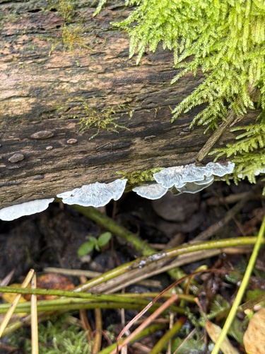
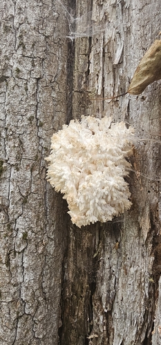
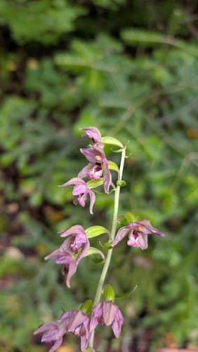
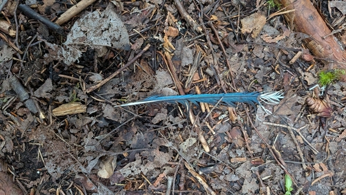
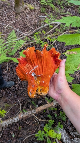
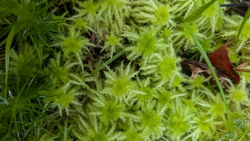
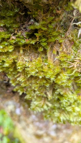
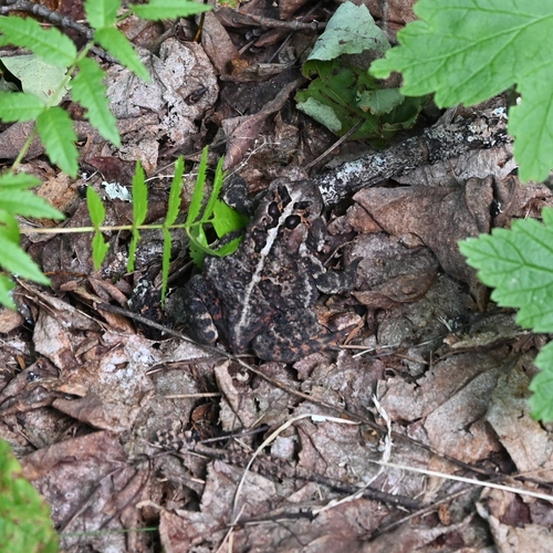
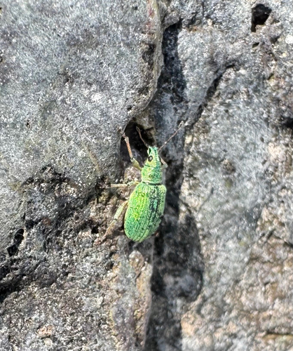
Research-grade observations from iNaturalist (within ~15 mi).
Events
Gallery
Official Identifiers
StatCan — Statistics Canada
- SGC code
- 2407085
- Population (Wikidata)
- 1,706
- Wikidata
- Q957746
Standard Geographical Classification (SGC) via Wikidata P3012
Sources
- • Wikipedia
- • Wikidata
- • iNaturalist
- • Open-Meteo / sunrise-sunset.org
- • Wikipedia Pageviews API
- • Open Library
- • StatCan — Statistics Canada — Standard Geographical Classification (SGC) via Wikidata P3012