Browse / Canada / British Columbia / Seymour Arm
Seymour Arm
British Columbiavillage
Founded
1865
Demographic figures from Statistics Canada. Overview below cites Wikipedia and may reference a different year.
City facts
Facts from Wikidata (CC0).
Overview
Seymour Arm, known historically also as Ogdensville or Ogden City and Seymour, is an unincorporated area and former town located at the head of the inlet of the same name on Shuswap Lake in British Columbia, Canada. Located at the mouth of the Seymour River, adjacent to Silver Beach Provincial Park, and functioning as the disembarkation point for trails over passes across the Monashee Mountains connecting that river's valley to that of the Columbia River, and navigable by water from Savona at the farther end of Kamloops Lake,
Read more on WikipediaHistory & geography
History
Seymour Arm became the location of a bustling boomtown serving travellers to the Big Bend Gold Rush on the Columbia which grew up around a Hudson's Bay Company post founded at the start of the rush in 1865. With a peak population of 5000, Seymour Arm had 13 stores, 11 shoemakers, 8 wash houses, 6 barber shops, 6 physicians, 6 saloons, 5 bakeries, 3 restaurants, 2 blacksmiths, 1 bath-house, 1 drug store, 1 stationery shop, a coffee and doughnut stand, and a livery stable. The town was destroyed by fire in the late 1860s but was revived again by English developers promoting the Seymour Arm Fruits Land Company, and a post office, school and hotel were established in 1910. The hotel closed in 1925 and by 1940 the town was largely abandoned, save for a few remaining settlers. During and following the Vietnam and Korean Wars circa 1960-70, Seymour Arm drew significant numbers of "draft dodgers" from the United States, known to produce large clandestine outdoor Cannabis plantations in the area and with active smuggling routes to California. Cannabis cultivation continued into modern times with large indoor off-grid diesel-electric "grow-ops" culminating in a famous "bust" in 2004, the largest single Cannabis law enforcement action in Canadian history, involving hundreds of law enforcement officers. Today the hotel, since reopened with a restaurant and pub, and one of the orchard-era mansions remain, and the locality is a farming and summer-recreational community.
Excerpted from the corresponding Wikipedia article (CC BY-SA).
Geography
Coordinates & boundaries from the US Census TIGER/Line shapefiles.
Climate
Air quality
Walkability
Amenities nearby
Wildlife & biodiversity
Earthquake history
Photos
Sights & places nearby
Notable people from here
Nearby places in British Columbia
Geography & sun
Nearby airports
Public attention
Books about this place
Recent natural events nearby
- Wildfire SINLAHEKIN, Okanogan, WashingtonWildfires · 2026-07-26 · 178 mi
- Wildfire Parker Lake, Boundary, IdahoWildfires · 2026-08-23 · 193 mi
- Wildfire BRADEEN HILL, Stevens, WashingtonWildfires · 2026-07-25 · 206 mi
- Wildfire Silver, Boundary, IdahoWildfires · 2026-08-23 · 207 mi
- Wildfire Thunder Creek, Skagit, WashingtonWildfires · 2026-08-22 · 208 mi
- Wildfire Electric, Whatcom, WashingtonWildfires · 2026-08-22 · 210 mi
- Wildfire SISI, Chelan, WashingtonWildfires · 2026-08-14 · 217 mi
- Wildfire HUDSPETH, Stevens, WashingtonWildfires · 2026-08-01 · 221 mi
Wildfires, storms and other events from NASA EONET (last 12 months, within 250 mi).
Ground air-quality sensors
Recently spotted species
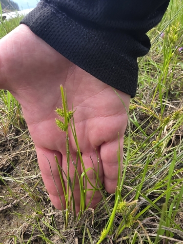
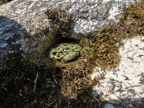
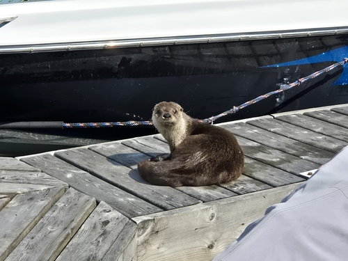
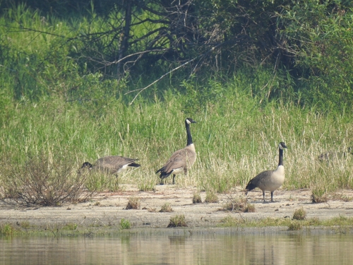
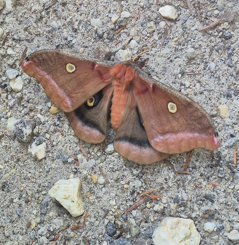
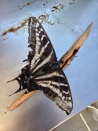
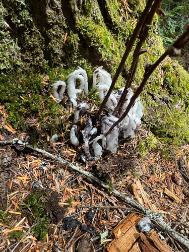
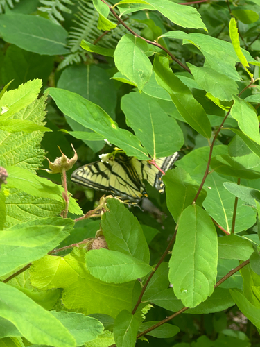
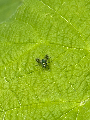
Research-grade observations from iNaturalist (within ~15 mi).
Events
Gallery
Sources
- • Wikipedia
- • Wikidata
- • iNaturalist
- • NASA EONET