Browse / Canada / Quebec / Shawville
Shawville
Quebecvillage

Shawville
Total population
1,664
Founded
1874
Demographic figures from Statistics Canada. Overview below cites Wikipedia and may reference a different year.
City facts
Facts from Wikidata (CC0).
Overview
Shawville is a town located in the Pontiac Regional County Municipality in the administrative region of Outaouais in western Quebec, Canada.
Read more on WikipediaHistory & geography
History
At the end of the 1860s, a group of citizens from Clarendon Centre, under the leadership of James Shaw (1818–1877), separated the municipality from the township of Clarendon. While they had originally planned on naming the new entity "Daggville," after the name of a pioneer family, they opted instead to name it "Shawville" after James Shaw promised to donate of land to the new municipality. Shawville was officially established in 1874 and was populated by Irish Protestant immigrants. John Dale Jr, who was mayor of Clarendon at the time, resigned to become the first mayor of the newly formed township of Shawville in 1874. The municipality has a Methodist church that was built in Shawville in 1835, while the Catholic Parish of Saint-Alexandre-de-Clarendon opened its doors in 1840. This church would later be renamed Sainte-Mélanie and still later as Saint-Jacques-le-Majeur in 1917. In recent times, Shawville has been the site of several conflicts between local shopkeepers and the Office québécois de la langue française over the province's language laws.
Geography
The town is an enclave within the municipality of Clarendon. Shawville is situated approximately west of Gatineau and southeast of Fort-Coulonge.
Excerpted from the corresponding Wikipedia article (CC BY-SA).
Geography
Coordinates & boundaries from the US Census TIGER/Line shapefiles.
Climate
Air quality
Walkability
Amenities nearby
Wildlife & biodiversity
Earthquake history
Photos
Sights & places nearby
Notable people from here


People born within ~10 km, from Wikidata (CC0). Click any name for their Wikipedia article.
Geography & sun
Elevation, sunrise/sunset and daylight from Open-Meteo. Solar climatology from NASA POWER.
Nearby airports
Public attention
Pageview totals from the Wikimedia Pageviews API.
Books about Shawville
Search results from Open Library.
Recent natural events nearby
Ground air-quality sensors
Recently spotted species
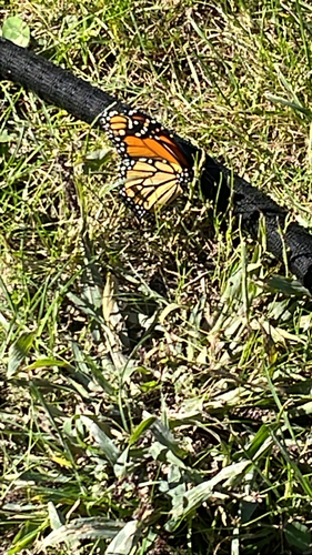
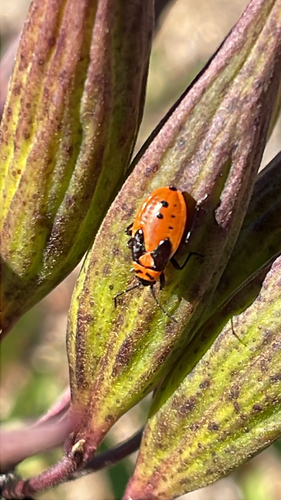
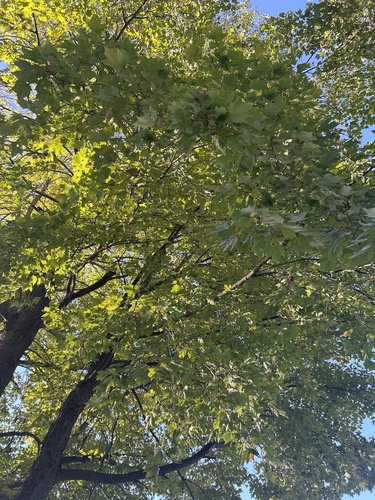
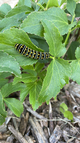
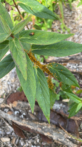
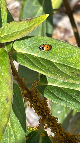
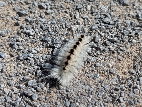
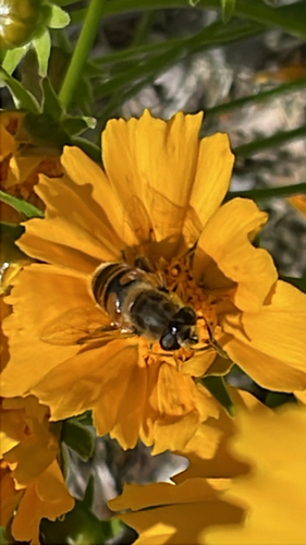
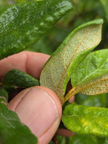
Research-grade observations from iNaturalist (within ~15 mi).
Events
Gallery
Official Identifiers
StatCan — Statistics Canada
- SGC code
- 2484010
- Population (Wikidata)
- 1,668
- Wikidata
- Q3481643
Standard Geographical Classification (SGC) via Wikidata P3012
Sources
- • Wikipedia
- • Wikidata
- • iNaturalist
- • Open-Meteo / sunrise-sunset.org
- • Wikipedia Pageviews API
- • Open Library
- • StatCan — Statistics Canada — Standard Geographical Classification (SGC) via Wikidata P3012