Browse / Canada / British Columbia / Shearwater
Shearwater
British Columbiahamlet

Shearwater
Total population
50
Demographic figures from Statistics Canada. Overview below cites Wikipedia and may reference a different year.
City facts
Overview
Shearwater is a community in coastal British Columbia. It is located three miles from Old Bella Bella on Denny Island. It is in the territory of the Heiltsuk Nation.
Read more on WikipediaHistory & geography
History
Shearwater was originally built as an antisubmarine bomber reconnaissance post in 1941 and then abandoned in 1944. It was then purchased and developed into a fishing resort with a full service marina, fishing resort, restaurant and hotel. The hangar and the bomb shelter are all that survive from the original base. The resort was recently sold to (2022), and is now owned and operated by, The Heiltsuk Nation. Today, Shearwater Resort LLP is British Columbia's ultimate wilderness and eco-tour destination, offering a selection of wildlife tours as well as accommodations and mooring services. Shearwater is located on BC's Central Coast in the Great Bear Rainforest. The resort offers many amenities including moorage, a year-round hotel, a fully stocked grocery and liquor store, a post office, a bar and grill, a laundromat, a full service boatyard and a marine store. During the summer months, kayaking, paddle boarding, eco tours and other tourist activities are planned. There are local community members that offer sport fishing tours as well. It was named after HMS Shearwater, a Royal Navy vessel on the British Columbia coast from 1902 to 1915 when she was transferred to the Royal Canadian Navy.
Excerpted from the corresponding Wikipedia article (CC BY-SA).
Geography
Coordinates & boundaries from the US Census TIGER/Line shapefiles.
Climate
Air quality
Walkability
Amenities nearby
Wildlife & biodiversity
Earthquake history
Photos
Sights & places nearby
Notable people from here
Geography & sun
Elevation, sunrise/sunset and daylight from Open-Meteo. Solar climatology from NASA POWER.
Nearby airports
Public attention
Pageview totals from the Wikimedia Pageviews API.
Books about this place
Recent natural events nearby
Ground air-quality sensors
Recently spotted species
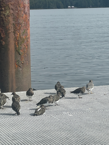
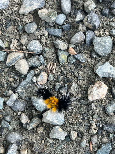
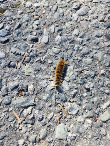
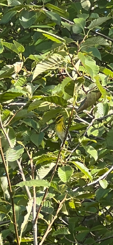
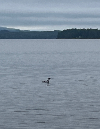
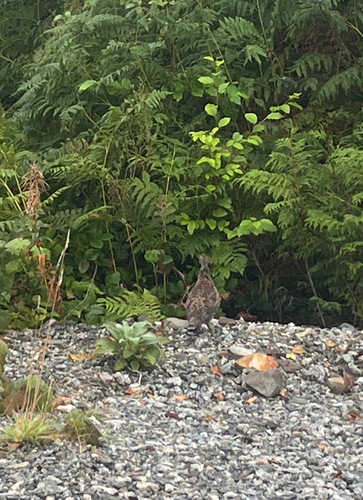
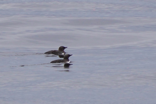
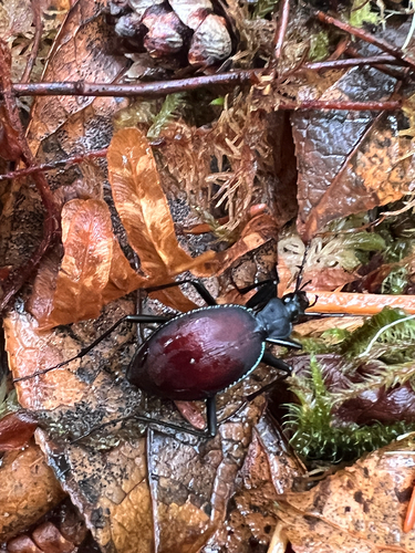
Research-grade observations from iNaturalist (within ~15 mi).
Events
Gallery
Sources
- • Wikipedia
- • Wikidata
- • iNaturalist
- • Open-Meteo / sunrise-sunset.org
- • Wikipedia Pageviews API