Browse / Canada / Manitoba / Sherridon
Sherridon
Manitobavillage

Sherridon
Demographic figures from Statistics Canada. Overview below cites Wikipedia and may reference a different year.
City facts
Overview
Sherridon, Manitoba, is an unincorporated community in northern Manitoba, Canada.
Read more on WikipediaHistory & geography
History
Sherridon originated as the service centre for the nearby Sherritt Gordon Mine. The mine closed in 1952, resulting in the equipment and many of the workers and families relocating to Lynn Lake. In 1949 the first house from Sherridon was sleighed to Lynn Lake as a test run over the of cat train trails. Over the next three years, 208 buildings were moved to Lynn Lake from Sherridon. Houses, stores, banks and churches were loaded on sleds and pulled by caterpillar tractors over the ice and snow to Lynn Lake. The historic four-storey Hotel Cambrian, one of the only early 20th century buildings in the community not moved to Lynn Lake, was destroyed by fire on June 2, 2012. At the time of the fire the hotel was unoccupied, in a state of disrepair, and had been disconnected from electricity. The Royal Canadian Mounted Police consider the fire suspicious. A recent gold mine, operated by Pioneer Metals at Puffy Lake, closed in 1989.
Geography
The community is on the OmniTRAX rail line to Lynn Lake about north of The Pas. Pukatawagan Reserve is further north of Sherridon. A community-access gravelled road was constructed as part of the Puffy Lake Mine development, and the community is now connected to Provincial Trunk Highway 10 (PTH 10) between Cranberry Portage and Flin Flon.
Excerpted from the corresponding Wikipedia article (CC BY-SA).
Geography
Coordinates & boundaries from the US Census TIGER/Line shapefiles.
Climate
Air quality
Walkability
Amenities nearby
Wildlife & biodiversity
Earthquake history
Photos
Sights & places nearby
Notable people from here
People born within ~10 km, from Wikidata (CC0). Click any name for their Wikipedia article.
Geography & sun
Elevation, sunrise/sunset and daylight from Open-Meteo. Solar climatology from NASA POWER.
Nearby airports
Public attention
Pageview totals from the Wikimedia Pageviews API.
Books about Sherridon
Search results from Open Library.
Recent natural events nearby
Ground air-quality sensors
Recently spotted species
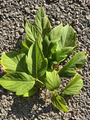
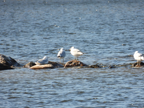

Research-grade observations from iNaturalist (within ~15 mi).
Events
Gallery
Sources
- • Wikipedia
- • Wikidata
- • iNaturalist
- • Open-Meteo / sunrise-sunset.org
- • Wikipedia Pageviews API
- • Open Library