Browse / Canada / Manitoba / Somerset
Somerset
Manitobavillage
Demographic figures from Statistics Canada. Overview below cites Wikipedia and may reference a different year.
City facts
Facts from Wikidata (CC0).
Overview
Within Manitoba, Canada, Somerset stands as a village. Somerset maps to 49.412°, -98.659° — squarely within the temperate belt. Detailed population figures are not currently catalogued in the open data sources we track. Open solar datasets indicate about 1,379 kWh/m² of solar irradiance per year, combined with sunshine for roughly 54% of daylight hours. Based on its temperate position, residents likely encounter four distinct seasons with warm summers and cold winters. Detailed open-data panels follow, covering demographics, climate, geography, wildlife and nearby settlements.
Summary composed automatically from structured open data on this page. See our Terms for details.
History & geography
History
The caves of the Mendip Hills were settled during the Palaeolithic period, and contain extensive archaeological sites such as those at Cheddar Gorge. Bones from Gough's Cave have been dated to 12,000 BCE, and a complete skeleton, known as Cheddar Man, dates from 7150 BCE. Examples of cave art have been found in Aveline's Hole. Some caves continued to be occupied until modern times, including Wookey Hole. The Somerset Levels—specifically dry points at Glastonbury and Brent Knoll—also have a long history of settlement, and are known to have been settled by Mesolithic hunters. Travel in the area was facilitated by the construction of one of the world's oldest known engineered roadways, the Sweet Track, which dates from 3807 BCE or 3806 BCE. The exact age of the henge monument at Stanton Drew stone circles is unknown, but it is believed to be Neolithic. There are numerous Iron Age hill forts, some of which, like Cadbury Castle and Ham Hill, were later reoccupied in the Early Middle Ages. On the authority of the future emperor Vespasian, as part of the ongoing expansion of the Roman presence in Britain, the Second Legion Augusta invaded Somerset from the south-east in 47 CE. The county remained part of the Roman Empire until around 409 CE, when the Roman occupation of Britain came to an end. A variety of Roman remains have been found, including Pagans Hill Roman temple in Chew Stoke, Low Ham Roman Villa and the Roman Baths that gave their name to the city of Bath. After the Romans left, Britain was invaded by Anglo-Saxon peoples. By 600 CE they had established control over much of what is now England, but Somerset was still in native British hands. The British held back Saxon advance into the south-west for some time longer, but by the…
Geography
The boundaries of Somerset are largely unaltered from medieval times. The main change has been in the north, where the River Avon formed the border with Gloucestershire, except that the hundred of Bath Forum, which straddles the Avon, formed part of Somerset. Bristol began as a town on the Gloucestershire side of the Avon, but as it grew, it extended across the river into Somerset. In 1373 Edward III proclaimed "that the town of Bristol with its suburbs and precincts shall henceforth be separate from the counties of Gloucester and Somerset ... and that it should be a county by itself". The present-day northern border of Somerset (adjoining the counties of Bristol and Gloucestershire) runs along the southern bank of the Avon from the Bristol Channel, then follows around the southern edge of the Bristol built-up area, before continuing upstream along the Avon and then diverges from the river to include Bath and its historic hinterland to the north of the Avon, before meeting Wiltshire at the Three Shire Stones on the Fosse Way at Batheaston. Somerton took over from Ilchester as the county town in the late thirteenth century, but it declined in importance and the status of county town transferred to Taunton about 1366. The county has two cities, Bath and Wells, and 30 towns (including the county town of Taunton). The largest urban areas in terms of population are Bath, Weston-super-Mare, Taunton, Yeovil and Bridgwater. Many settlements developed because of their strategic importance in relation to geographical features, such as river crossings or valleys in ranges of hills. Examples include Axbridge on the River Axe, Castle Cary on the River Cary, North Petherton on the River Parrett, and Ilminster, where there was a crossing point on the River Isle. Midsomer…
Excerpted from the corresponding Wikipedia article (CC BY-SA).
Geography
Coordinates & boundaries from the US Census TIGER/Line shapefiles.
Climate
Air quality
Walkability
Amenities nearby
Wildlife & biodiversity
Most-observed species
- MallardAnas platyrhynchos Linnaeus, 1758 · Aves174
- Canada Goose (canadensis Group)Branta canadensis (Linnaeus, 1758) · Aves169
- Red-winged BlackbirdAgelaius phoeniceus (Linnaeus, 1766) · Aves165
- American CootFulica americana Gmelin, 1789 · Aves134
- Franklin's GullLeucophaeus pipixcan (Wagler, 1831) · Aves133
- Blue-winged TealSpatula discors (Linnaeus, 1766) · Aves130
- Song SparrowMelospiza melodia (A.Wilson, 1810) · Aves123
- Ruddy DuckOxyura jamaicensis (J.F.Gmelin, 1789) · Aves104
Citizen-science & research observations from the Global Biodiversity Information Facility (GBIF).
Earthquake history
Events from the USGS Earthquake Catalog (global) (FDSN Event Web Service).
Photos
Sights & places nearby
Notable people from here
Nearby places in Manitoba
Geography & sun
Elevation, sunrise/sunset and daylight from Open-Meteo. Solar climatology from NASA POWER.
Nearby airports
Public attention
Pageview totals from the Wikimedia Pageviews API.
Books about this place
Recent natural events nearby
Ground air-quality sensors
Recently spotted species


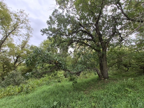
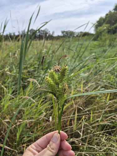
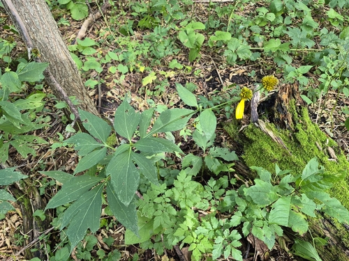
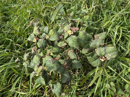
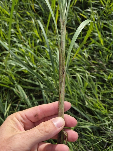
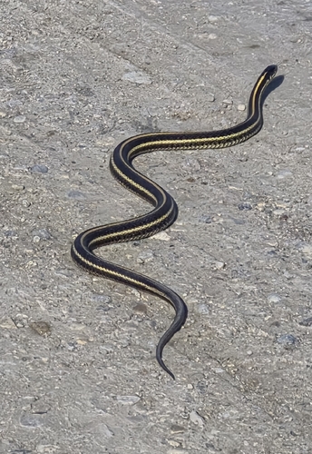
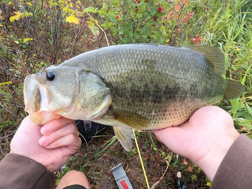
Research-grade observations from iNaturalist (within ~15 mi).
Events
Gallery
Sources
- • Wikipedia
- • Wikidata
- • USGS Earthquake Catalog (global feed)
- • GBIF (Global Biodiversity Information Facility)
- • iNaturalist
- • Open-Meteo / sunrise-sunset.org
- • Wikipedia Pageviews API