Browse / United States / California / South San Francisco
South San Francisco
Californiacity

South San Francisco
Total population
64,305
Median home value
$1,188,800
Bachelor's+
Median income
$136,578
Founded
1908
Demographic figures from US Census Bureau · ACS 5-year estimates. Overview below cites Wikipedia and may reference a different year.
City facts
Sister cities
Facts from Wikidata (CC0).
Overview
South San Francisco is a city in San Mateo County, California, United States, on the San Francisco Peninsula in the San Francisco Bay Area. The city is colloquially termed "South City". The population was 66,105 as of the 2020 census, and was estimated at 64,941 in 2025.
Read more on WikipediaHistory & geography
History
Parts of what is now South San Francisco have been populated for more than 5,000 years. and Buckeye shell-mounds on San Bruno Mountain. Charcoal-sampling indicates these ancient sites were actively occupied into the Spanish colonial period (late 1700s). The delta of Colma Creek was formerly an important habitat for the waterfowl known to be hunted by the Ramaytush in historic times, and archaeologic sites have been recorded near the creek. In 1835, the area which is now South San Francisco was confirmed to be part of Rancho Buri Buri, a large Mexican land grant to the Sanchez family, which they had used for cattle-ranching (with an easement for southbound traffic) for nearly a decade. While the Treaty of Guadalupe Hidalgo guaranteed the grant, taxes and legal-fees encouraged family-members to sell parts of the grant. Around that same time, the 12-Mile House was built as a stop on the San Jose Stage road. In 1853 SF butcher Charles Lux and business partner Alfred Edmondson, purchased in Rancho Buri Buri. In 1855 Lux bought another of Buri Buri land and soon partnered with fellow San Francisco butcher and entrepreneur Henry Miller, forming the stockyards and beef-raising firm of Miller & Lux. Lux bought out Edmonson's interest in 1856 and founded the town of Baden (now a neighborhood of South San Francisco) near the 12-Mile House. In 1863, Baden became a station as the San Francisco and San Jose Railroad was built. The city of South San Francisco was conceived as an industrial suburb and was promoted by representatives of the Beef Trust, a group including some of the country's largest meat packing firms. A city plan was put forward in 1888 by Gustavus Franklin Swift, founder of the Swift & Company meat packing firm. The plan called for multiple individual…
Geography
According to the United States Census Bureau, the city has an area of , of which is land and (69.50%) is water. The city provides some services to these areas. The city is particularly noted for the South San Francisco hillside sign on Sign Hill, which rises to the north of the city, with large white letters that proclaim, "South San Francisco, The Industrial City". The sign, a tribute to the city's industrial past, is listed on the National Register of Historic Places. South San Francisco, along with most of the Bay Area, has a mild mediterranean climate (Köppen climate classification Csb), with warm, dry summers and cool, relatively wet winters. Much of the valley faces east toward San Francisco Bay, affording bay views from higher levels. South San Francisco has mild winters and dry cool summers. The hills to the west shield the eastern parts of the city from some of the fog that prevails in neighboring areas. The microclimate of South San Francisco is dominated by wind from the nearby Pacific Ocean, which typically keeps the daytime temperatures quite cool year round, even during the summer months. January is the coolest month with August being the warmest month. The record highest temperature of and was recorded on June 14, 1961. The record lowest temperature of was recorded on December 9, 1972. Normal annual precipitation is . }} South San Francisco is frequently windy. Summer is the windiest season, with winds averaging ; winter is the least windy season, with winds averaging . {| class="wikitable" |- ! Month !! Jan !! Feb !! Mar !! Apr !! May !! Jun !! Jul !! Aug !! Sept !! Oct !! Nov !! Dec !! Annual |- | Wind (mph) || 7.2 || 8.6 || 10.5 || 12.2 || 13.4 || 14.0 || 13.6 || 12.8 || 11.1 || 9.4 || 7.5 || 7.1 || 10.6 |}
Excerpted from the corresponding Wikipedia article (CC BY-SA).
Demographics & economy
Race & ethnicity
Source: US Census Bureau — American Community Survey, 5-year estimates.
Geography
Coordinates & boundaries from the US Census TIGER/Line shapefiles.
Climate
Air quality
Industrial & pollution facilities
Natural hazard risk
Health (adults)
Walkability
Amenities nearby
Wildlife & biodiversity
Most-observed species
- Anna's HummingbirdCalypte anna (R.Lesson, 1829) · Aves91,944
- American CrowCorvus brachyrhynchos C.L.Brehm, 1822 · Aves81,539
- House FinchHaemorhous mexicanus (P.L.Statius Müller, 1776) · Aves77,122
- White-crowned SparrowZonotrichia leucophrys (J.R.Forster, 1772) · Aves72,348
- Black PhoebeSayornis nigricans (Swainson, 1827) · Aves68,501
- Song SparrowMelospiza melodia (A.Wilson, 1810) · Aves62,949
- Common RavenCorvus corax Linnaeus, 1758 · Aves60,848
- California TowheeMelozone crissalis (Vigors, 1839) · Aves60,768
Citizen-science & research observations from the Global Biodiversity Information Facility (GBIF).
Schools
Earthquake history
Most recent
- M 2.58 — 2026-09-296 km W of Yountville, CA
- M 2.63 — 2026-09-2726 km WSW of Westley, CA
- M 3.32 — 2026-09-2727 km WSW of Westley, CA
- M 2.51 — 2026-09-1910 km ENE of Milpitas, CA
- M 2.56 — 2026-09-1721 km E of Alum Rock, CA
- M 2.6 — 2026-09-163 km ESE of Santa Rosa, CA
Events from the USGS Earthquake Catalog (global) (FDSN Event Web Service).
Photos
Sights & places nearby
Notable people from here


People born within ~10 km, from Wikidata (CC0). Click any name for their Wikipedia article.
Geography & sun
Elevation, sunrise/sunset and daylight from Open-Meteo. Solar climatology from NASA POWER.
Nearby airports
Public attention
Pageview totals from the Wikimedia Pageviews API.
Books about South San Francisco



Search results from Open Library.
Recent natural events nearby
- Wildfire GANN, Calaveras, CaliforniaWildfires · 2026-08-03 · 93 mi
- Wildfire FELIZ, Mendocino, CaliforniaWildfires · 2026-08-01 · 102 mi
- Wildfire Timber, Monterey, CaliforniaWildfires · 2026-08-09 · 106 mi
- Wildfire LUCAS, Lake, CaliforniaWildfires · 2026-09-10 · 114 mi
- Wildfire LUCAS, Lake, CaliforniaWildfires · 2026-09-10 · 114 mi
- Wildfire Plaskett, Monterey, CaliforniaWildfires · 2026-08-26 · 132 mi
- Wildfire DOME, Mariposa, CaliforniaWildfires · 2026-09-15 · 151 mi
- Wildfire FLORISTON, Nevada, CaliforniaWildfires · 2026-09-16 · 175 mi
Wildfires, storms and other events from NASA EONET (last 12 months, within 250 mi).
Ground air-quality sensors
Recently spotted species
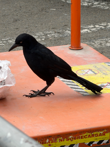
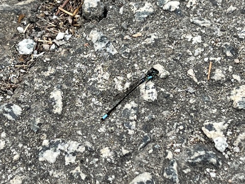
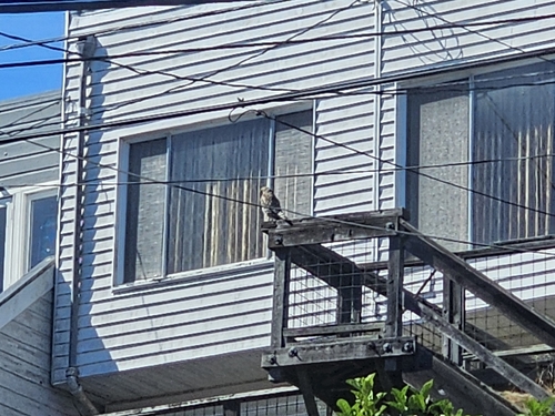
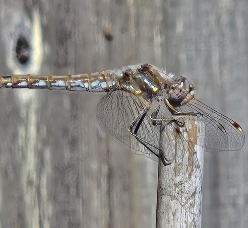
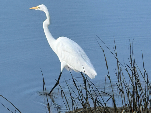
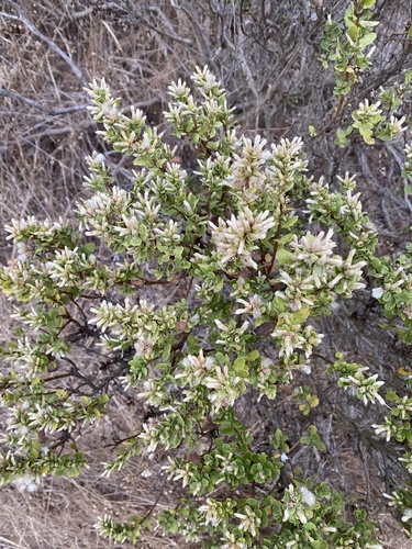
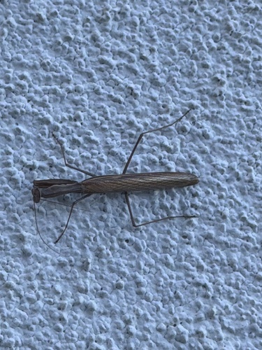
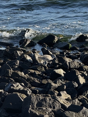
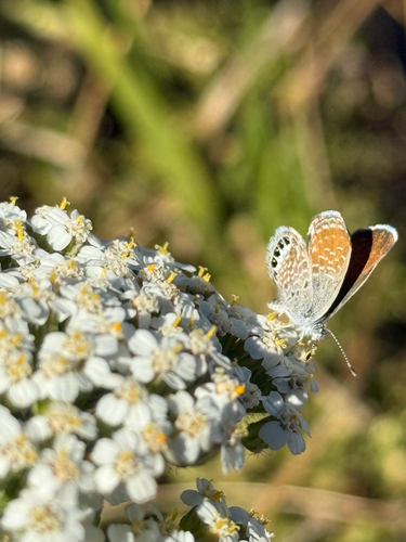
Research-grade observations from iNaturalist (within ~15 mi).
Nearest stream gauge
Events
Gallery
Sources
- • Wikipedia
- • US Census Bureau (ACS 5-year estimates)
- • Wikidata
- • USGS Earthquake Catalog (global feed)
- • GBIF (Global Biodiversity Information Facility)
- • iNaturalist
- • Open-Meteo / sunrise-sunset.org
- • Wikipedia Pageviews API
- • Open Library
- • NASA EONET