Browse / Canada / British Columbia / Spences Bridge
Spences Bridge
British Columbiavillage

Spences Bridge
Demographic figures from Statistics Canada. Overview below cites Wikipedia and may reference a different year.
City facts
Overview
Spences Bridge is a community in the Canadian province of British Columbia, situated 35 km (22 mi) north east of Lytton and 44 km (27 mi) south of Ashcroft. At Spences Bridge the Trans-Canada Highway crosses the Thompson River. In 1892, Spences Bridge's population included 32 people of European ancestry and 130 First Nations people. There were five general stores, three hotels, one Church of England and one school. The principal industries are fruit growing and farming. The population as of the 2021 Canadian census was 76, a decrease of 23.2 per cent from the 2016 count of 99.
Read more on WikipediaHistory & geography
History
The Kettle Valley Railway included a spur line stretching from Merritt to Spences Bridge. The rail bed is still intact, along with the original bridges. This settlement was originally known as Cook's Ferry because from 1862 to 1866 Mortimer Cook operated a ferry for crossing the river. The ferry was replaced by a toll bridge built by Thomas Spence under government contract. In 1891, the subdistrict of Spences Bridge had a population of 307. In 1905, one of the worst landslides in BC history hit a First Nations village near Spences Bridge. The village was destroyed and 18 people were killed. On 1 January 2014, the old Spences Bridge, a one-lane steel truss bridge, was decommissioned and permanently closed to all pedestrian and vehicle traffic after 82 years of service. This was deemed necessary by British Columbia Ministry of Transportation and Infrastructure engineers due to the poor condition of the bridge.
Excerpted from the corresponding Wikipedia article (CC BY-SA).
Geography
Coordinates & boundaries from the US Census TIGER/Line shapefiles.
Climate
Air quality
Walkability
Amenities nearby
Wildlife & biodiversity
Earthquake history
Photos
Sights & places nearby
Notable people from here
Nearby places in British Columbia
Geography & sun
Elevation, sunrise/sunset and daylight from Open-Meteo. Solar climatology from NASA POWER.
Nearby airports
Public attention
Pageview totals from the Wikimedia Pageviews API.
Books about Spences Bridge
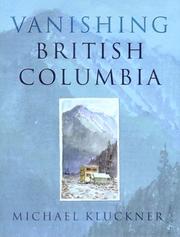

Search results from Open Library.
Recent natural events nearby
- Wildfire Electric, Whatcom, WashingtonWildfires · 2026-08-22 · 122 mi
- Wildfire Thunder Creek, Skagit, WashingtonWildfires · 2026-08-22 · 130 mi
- Wildfire SINLAHEKIN, Okanogan, WashingtonWildfires · 2026-07-26 · 140 mi
- Wildfire SISI, Chelan, WashingtonWildfires · 2026-08-14 · 145 mi
- Wildfire PEARL HILL, Douglas, WashingtonWildfires · 2026-07-25 · 186 mi
- Wildfire KING, Kittitas, WashingtonWildfires · 2026-08-19 · 204 mi
- Wildfire GOAT, Kittitas, WashingtonWildfires · 2026-08-22 · 205 mi
- Wildfire BRADEEN HILL, Stevens, WashingtonWildfires · 2026-07-25 · 206 mi
Wildfires, storms and other events from NASA EONET (last 12 months, within 250 mi).
Ground air-quality sensors
Recently spotted species
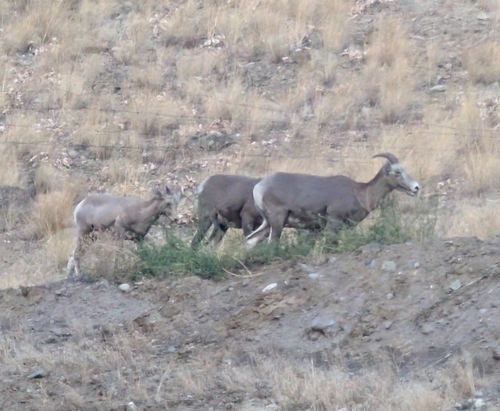
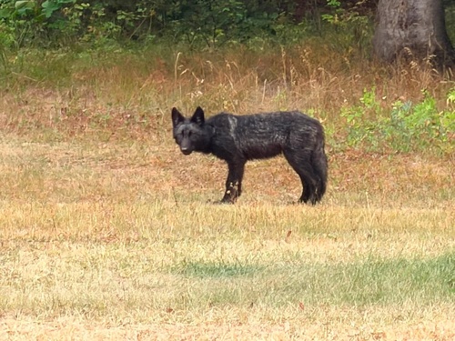
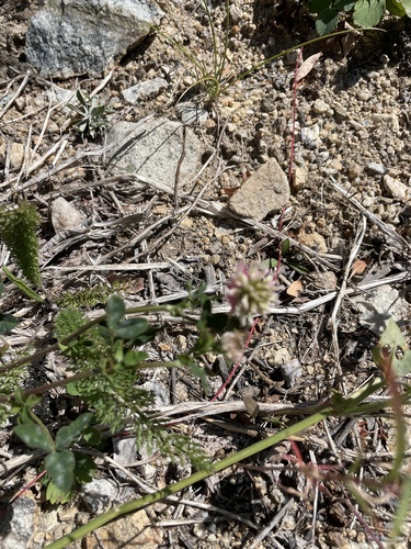




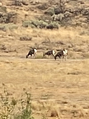

Research-grade observations from iNaturalist (within ~15 mi).
Events
Notable, recurring, and historical events associated with Spences Bridge, sourced from Wikidata.
Source: Wikidata (CC0).
Gallery
Sources
- • Wikipedia
- • Wikidata
- • iNaturalist
- • Open-Meteo / sunrise-sunset.org
- • Wikipedia Pageviews API
- • Open Library
- • NASA EONET