Browse / Canada / Newfoundland and Labrador / St. John's
St. John's
Newfoundland and Labradorcity

St. John's
Total population
110,525
Founded
1497
Air quality index
Demographic figures from Statistics Canada. Overview below cites Wikipedia and may reference a different year.
City facts
Facts from Wikidata (CC0).
Overview
St. John's is the capital and largest city of the Canadian province of Newfoundland and Labrador. It is located on the eastern tip of the Avalon Peninsula on the island of Newfoundland. The city spans 446.04 square kilometres (172.22 sq mi) and is the easternmost city in North America.
Read more on WikipediaHistory & geography
History
St. John's was used by fishermen setting up seasonal camps in the early 1500s. Sebastian Cabot declared in a handwritten Latin text in his original 1545 map that St. John's earned its name when he and his father, the Venetian explorer John Cabot, in the service of England, became the first Europeans to sail into the harbour, on the morning of 24 June 1494 (per British and French historians, in 1497), the feast day of Saint John the Baptist. A series of expeditions to St. John's by Portuguese from the Azores took place in the early 16th century, and by 1540, French, Spanish and Portuguese ships crossed the Atlantic annually to fish the waters off the Avalon Peninsula. In the Basque Country, it is a common belief the name of St. John's was given by Basque fishermen because the bay of St. John's is very similar to the Bay of Pasaia in the Basque Country, where one of the fishing towns is called St. John (in Spanish, San Juan, and in Basque, Donibane). On 5 August 1583, an English Sea Dog, Sir Humphrey Gilbert, claimed the area as England's first overseas colony under Royal Charter of Queen Elizabeth I. There was no permanent population, however, and Gilbert was lost at sea during his return voyage, thereby ending any immediate plans for settlement. In 1627, William Payne, called St. John's "the principal prime and chief lot in all the whole country". Sometime after 1630, the town of St. John's was established as a permanent community. Before this, English fishermen were expressly forbidden by the English government, at the urging of the West Country fishing industry, to establish permanent settlements along the English-controlled coast. The population grew slowly in the 17th century: St. John's was Newfoundland's largest settlement when English naval officers began to…
Geography
St. John's is along the coast of the Atlantic Ocean, on the northeast of the Avalon Peninsula in southeast Newfoundland. The city is North America's most easterly city, excluding Greenland. Its downtown area lies to the west and north of St. John's Harbour, and the rest of the city expands from the downtown to the north, south, east and west. The city covers a total of (larger than Montreal, Quebec), but the majority of its area remains covered by undeveloped woods. Coniferous trees such as black spruce, white spruce, and balsam fir dominate the native vegetation. The largest deciduous tree is white birch; species of lesser stature include alder, cherry and mountain ash. Of introduced tree species, sycamore maple is most abundant and Norway maple is common. Blue spruce, common horsechestnut, European beech and littleleaf linden are among the other non-native species grown. St. John's has a humid continental climate (Köppen Dfb) with smaller seasonal variation than normal for the latitude, which is due to Gulf Stream moderation. Mean temperatures range from in February to in August, Of major Canadian cities, St. John's is the foggiest (124 days) and windiest ( average speed). Precipitation is frequent and often heavy, falling year-round. On average, summer is the driest season, with only occasional thunderstorm activity. June is the driest month, averaging of precipitation. The wettest months are from October to January, with December the wettest single month, with of precipitation on average. and April 2017. On 17 January 2020, St. John's declared a state of emergency due to a snowstorm that brought an estimated —a one-day snowfall record for St. John's—and hurricane force winds up to . The following day, the Canadian Army was called in to aid snow removal.…
Excerpted from the corresponding Wikipedia article (CC BY-SA).
Geography
Coordinates & boundaries from the US Census TIGER/Line shapefiles.
Climate
10-year averages from ERA5 reanalysis (Open-Meteo).
Air quality
Current readings from Open-Meteo Air Quality API (Copernicus CAMS European reanalysis).
Walkability
Amenities nearby
Wildlife & biodiversity
Most-observed species
- American CrowCorvus brachyrhynchos C.L.Brehm, 1822 · Aves18,294
- Dark-eyed JuncoJunco hyemalis (Linnaeus, 1758) · Aves16,121
- American herring gull, Smithsonian GullLarus smithsonianus Coues, 1862 · Aves14,283
- American RobinTurdus migratorius Linnaeus, 1766 · Aves11,602
- Black-capped ChickadeePoecile atricapillus (Linnaeus, 1766) · Aves11,370
- European StarlingSturnus vulgaris Linnaeus, 1758 · Aves10,228
- MallardAnas platyrhynchos Linnaeus, 1758 · Aves8,980
- American GoldfinchSpinus tristis (Linnaeus, 1758) · Aves8,970
Citizen-science & research observations from the Global Biodiversity Information Facility (GBIF).
Earthquake history
Most recent
- M 3.3 — 2009-04-2928 km SW of Bay Roberts, Canada
Events from the USGS Earthquake Catalog (global) (FDSN Event Web Service).
Photos
Sights & places nearby
Notable people from here


People born within ~10 km, from Wikidata (CC0). Click any name for their Wikipedia article.
Nearby places in Newfoundland and Labrador
- Torbay6.5 mi away · pop. 7,395
- Wabana12.3 mi away
- Bickfordville13.4 mi away
- Freshwater14.3 mi away
- Witless Bay21 mi away · pop. 1,179
- Harbour Main-Chapel's Cove-Lakeview23 mi away
- Holyrood23.4 mi away
- Upper Island Cove24 mi away · pop. 1,594
- Ballyhack24.6 mi away
- Conception Harbour25.5 mi away · pop. 743
- Perry's Cove26.2 mi away
- Small Point - Broad Cove - Blackhead - Adams Cove26.5 mi away · pop. 389
Geography & sun
Elevation, sunrise/sunset and daylight from Open-Meteo. Solar climatology from NASA POWER.
Nearby airports
Public attention
Pageview totals from the Wikimedia Pageviews API.
Books about St. John's


Search results from Open Library.
Recent natural events nearby
Ground air-quality sensors
Recently spotted species
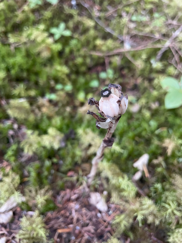
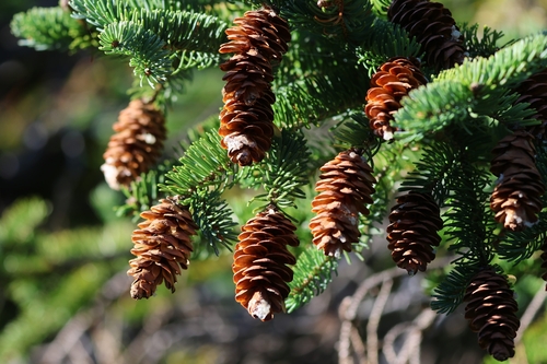
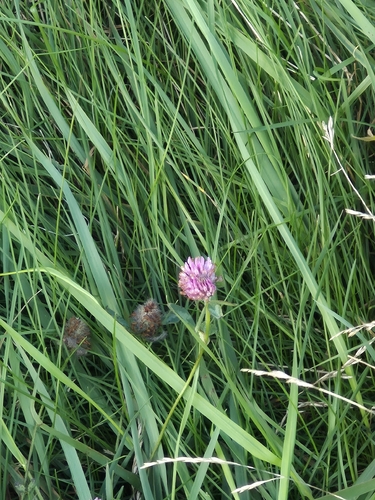
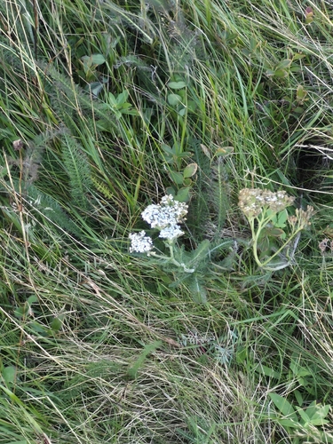
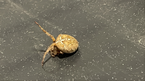
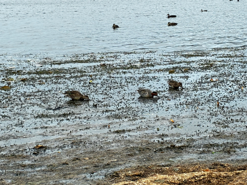
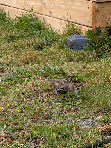
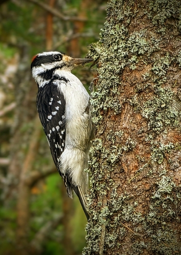
Research-grade observations from iNaturalist (within ~15 mi).
Events
Notable, recurring, and historical events associated with St. John's, sourced from Wikidata.
- St. John's International Women's Film Festivalannual event
Film festival screening works by women, takes place in Newfoundland and Labrador, Canada
Source: Wikidata (CC0).
Gallery
Geotagged photos within ~6 miles of St. John's, from Wikimedia Commons contributors.
 0 mi
 0 mi
 0 mi
 0 mi
 0 mi
 0.1 mi
 0.1 mi
 0.1 mi
 0.1 mi
 0.1 mi
 0.1 mi
 0.1 mi
 0.1 mi
 0.1 mi
 0.1 mi
 0.1 mi
 0.1 mi
 0.1 mi
 0.1 mi
 0.1 mi
 0.1 mi
 0.1 mi
 0.2 mi
 0.2 mi
Photos via Wikimedia Commons — see each image page for license & attribution.
Official Identifiers
StatCan — Statistics Canada
- SGC code
- 1001519
- Population (Wikidata)
- 110,525
- Wikidata
- Q2082
Standard Geographical Classification (SGC) via Wikidata P3012
Sources
- • Wikipedia
- • Open-Meteo (ERA5 reanalysis)
- • Wikimedia Commons
- • Wikidata
- • Open-Meteo Air Quality (CAMS)
- • USGS Earthquake Catalog (global feed)
- • GBIF (Global Biodiversity Information Facility)
- • iNaturalist
- • Open-Elevation
- • Open-Meteo / sunrise-sunset.org
- • Wikipedia Pageviews API
- • Open Library
- • StatCan — Statistics Canada — Standard Geographical Classification (SGC) via Wikidata P3012