Browse / Canada / Newfoundland and Labrador / St. Lunaire-Griquet
St. Lunaire-Griquet
Newfoundland and Labradortown

St. Lunaire-Griquet
Demographic figures from Statistics Canada. Overview below cites Wikipedia and may reference a different year.
City facts
Overview
St. Lunaire-Griquet is a town in the Canadian province of Newfoundland and Labrador. The town is located near the northern tip of the Great Northern Peninsula of Newfoundland. The town had a population of 603 in the Canada 2021 Census. According to World Population Review, the population as of 2026 is 554.
Read more on WikipediaHistory & geography
History
French fishermen began fishing the region in the 16th century. However, St. Lunaire bay was not mapped until 1784 by the French sailor Liberge de Granchain. An island in the mouth of St. Lunaire bay still bears his namesake. Evidence of ancient French fishing activity in this bay can be still observed in the remains of old French bread ovens on Granchain Island. The name may be from Saint-Lunaire in Brittany, named after Saint Leonorus.
Excerpted from the corresponding Wikipedia article (CC BY-SA).
Geography
Coordinates & boundaries from the US Census TIGER/Line shapefiles.
Climate
Air quality
Walkability
Amenities nearby
Wildlife & biodiversity
Most-observed species
- American RobinTurdus migratorius Linnaeus, 1766 · Aves384
- Great Black-backed GullLarus marinus Linnaeus, 1758 · Aves368
- Fox SparrowPasserella iliaca (Merrem, 1786) · Aves362
- American herring gull, Smithsonian GullLarus smithsonianus Coues, 1862 · Aves348
- Common EiderSomateria mollissima (Linnaeus, 1758) · Aves265
- Savannah SparrowPasserculus sandwichensis (J.F.Gmelin, 1789) · Aves235
- White-throated SparrowZonotrichia albicollis (J.F.Gmelin, 1789) · Aves216
- Blackpoll WarblerSetophaga striata (J.R.Forster, 1772) · Aves216
Citizen-science & research observations from the Global Biodiversity Information Facility (GBIF).
Earthquake history
Events from the USGS Earthquake Catalog (global) (FDSN Event Web Service).
Photos
Sights & places nearby
Notable people from here
People born within ~10 km, from Wikidata (CC0). Click any name for their Wikipedia article.
Nearby places in Newfoundland and Labrador
- Griguet0.9 mi away
- Raleigh11.8 mi away
- St. Anthony12 mi away · pop. 2,258
- Goose Cove East16.3 mi away · pop. 174
- Cook's Harbour18.5 mi away · pop. 123
- Fichot Island26.5 mi away
- Saint Julien’s33.2 mi away
- Red Bay43.8 mi away
- Carrolls Cove45.6 mi away
- Chimney Tickle47.5 mi away
- Cape Saint Charles48.7 mi away
- Cape Charles48.8 mi away
Geography & sun
Elevation, sunrise/sunset and daylight from Open-Meteo. Solar climatology from NASA POWER.
Nearby airports
Public attention
Pageview totals from the Wikimedia Pageviews API.
Books about this place
Recent natural events nearby
Ground air-quality sensors
Recently spotted species
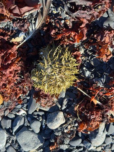
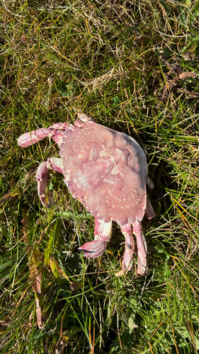
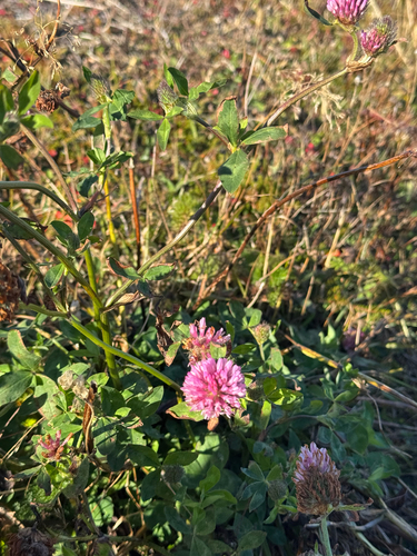
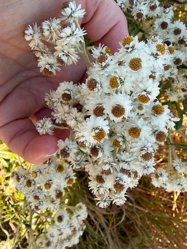
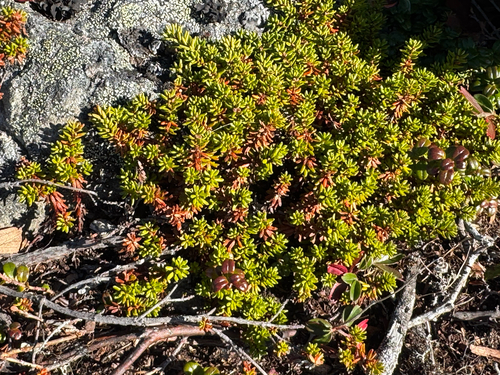
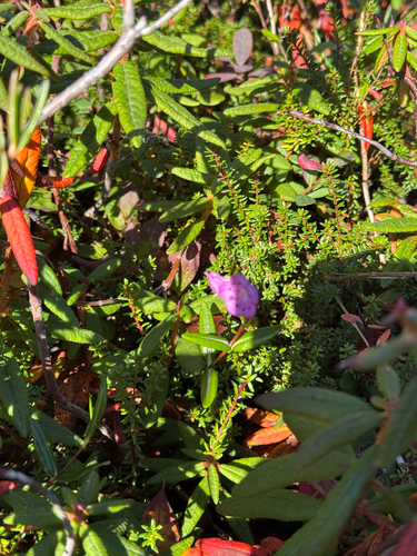
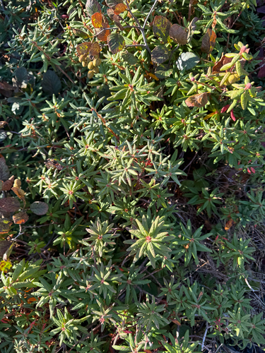
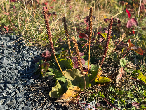
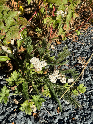
Research-grade observations from iNaturalist (within ~15 mi).
Events
Gallery
Official Identifiers
StatCan — Statistics Canada
- SGC code
- 1009032
- Wikidata
- Q7589839
Standard Geographical Classification (SGC) via Wikidata P3012
Sources
- • Wikipedia
- • Wikidata
- • USGS Earthquake Catalog (global feed)
- • GBIF (Global Biodiversity Information Facility)
- • iNaturalist
- • Open-Meteo / sunrise-sunset.org
- • Wikipedia Pageviews API
- • StatCan — Statistics Canada — Standard Geographical Classification (SGC) via Wikidata P3012