Browse / Canada / Manitoba / St. Theresa Point
St. Theresa Point
Manitobatown

St. Theresa Point
Total population
3,262
Demographic figures from Statistics Canada. Overview below cites Wikipedia and may reference a different year.
City facts
Overview
St. Theresa Point First Nation is a First Nations community in northern Manitoba. It has 3 reserves in total, the largest and most populated of which is St. Theresa Point, which is bordered by the unorganized portion of Division No. 22, Manitoba, and by the Wasagamack First Nation.
Read more on WikipediaHistory & geography
Geography
Coordinates & boundaries from the US Census TIGER/Line shapefiles.
Climate
Air quality
Walkability
Amenities nearby
Wildlife & biodiversity
Earthquake history
Photos
Sights & places nearby
Notable people from here
Nearby places in Manitoba
- ᐗᓴᑲᒪᐣᐠ Wasagamack6.6 mi away · pop. 1,823
- Garden Hill (Kistiganwacheeng)8.4 mi away · pop. 2,776
- ᒪᓂᑐ ᓵᑲᐦᐃᑲᐣGod's Lake Narrows51.9 mi away
- Gods Lake64.4 mi away
- ᒪᓂᑐ ᓰᐱᐩ Manto Sipi Cree Nation (God's River)76.4 mi away · pop. 900
- Azaadiwi-ziibing / Poplar River115.4 mi away · pop. 1,245
- Bawingaasi / Pauingassi117.7 mi away · pop. 600
- Norway House121.8 mi away
- Mishi-baawitigong / Little Grand Rapids127.7 mi away · pop. 1,174
- Cross Lake130.3 mi away · pop. 4,650
- Mememwi-ziibiing / Berens River135.5 mi away · pop. 2,110
- Pikwitonei152.3 mi away
Geography & sun
Elevation, sunrise/sunset and daylight from Open-Meteo. Solar climatology from NASA POWER.
Nearby airports
Public attention
Pageview totals from the Wikimedia Pageviews API.
Books about this place
Recent natural events nearby
Ground air-quality sensors
Recently spotted species
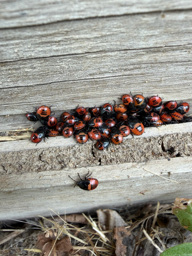
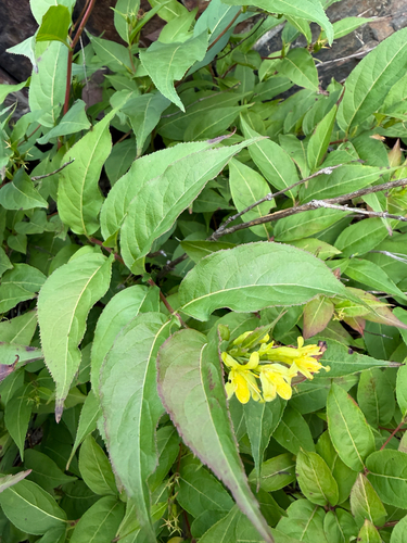
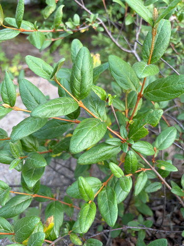
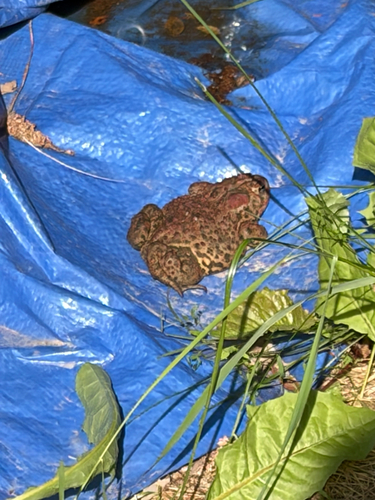
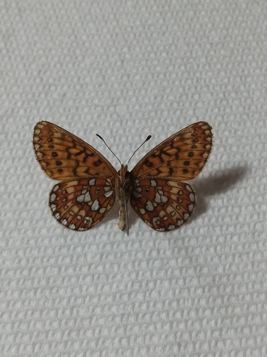
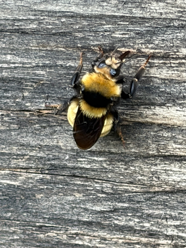
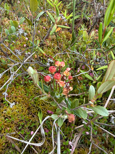
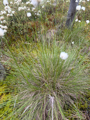
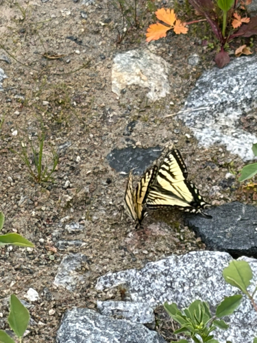
Research-grade observations from iNaturalist (within ~15 mi).
Events
Gallery
Sources
- • Wikipedia
- • iNaturalist
- • Open-Meteo / sunrise-sunset.org
- • Wikipedia Pageviews API