Browse / United States / California / Stockton
Stockton
Californiacity

Stockton
Total population
324,980
Median home value
$456,800
Bachelor's+
Median income
$78,627
Founded
1849
Demographic figures from US Census Bureau · ACS 5-year estimates. Overview below cites Wikipedia and may reference a different year.
- Heat Advisory · ModerateHeat Advisory issued October 1 at 9:34AM PDT until October 5 at 10:00PM PDT by NWS Sacramento CA
Source: NOAA National Weather Service.
City facts
Sister cities
Facts from Wikidata (CC0).
Overview
Stockton is a city in and the county seat of San Joaquin County, California, United States. It is the most populous city in the county, the 11th-most populous city in California and the 60th-most populous city in the U.S., with 320,804 residents at the 2020 census. The city is located on the San Joaquin River in the northern San Joaquin Valley, within California's Central Valley. It lies at the southeastern corner of a large inland river delta that separates it from other nearby cities, such as Sacramento and the San Francisco Bay Area.
Read more on WikipediaHistory & geography
History
When Europeans first arrived in the Stockton area, it was settled by the Yatchicumne, a branch of the Northern Valley Yokuts. They built their villages on low mounds to keep their homes above regular floods. The Yatchicumne village of Pasasimas was located on a mound between Edison and Harrison Streets on what is now the Stockton Channel in downtown Stockton. The Siskiyou Trail began in the northern San Joaquin Valley. It was a centuries-old Native American footpath that led through the Sacramento Valley over the Cascades and into present-day Oregon. The extensive network of waterways in and around Stockton was fished and navigated by Miwok Indians for centuries. During the California Gold Rush, the San Joaquin River was navigable by ocean-going vessels, making Stockton a natural inland seaport and point of supply and departure for prospective gold-miners. From the mid-19th century onward, Stockton became the region's transportation hub, dealing mainly with agricultural products. Carl David Maria Weber was a German immigrant to the United States in 1836. He was born as Karl David Weber (February 18, 1814, in Steinwenden – May 4, 1881, in Stockton) and then went by Charles in 1836 in the United States, first spending time in New Orleans and then in Texas. He then came overland from Missouri to California with the Bartleson-Bidwell Party in 1841 and began to go by Carlos when he began working for John Sutter. In 1842, Weber settled in the Pueblo of San José. As an alien, Weber could not secure a land grant directly, so he formed a partnership with Guillermo (William) Gulnac. Born in New York, Gulnac had married a Mexican woman and sworn allegiance to Mexico, which then ruled California. He applied in Weber's place for Rancho Campo de los Franceses, a land grant of 11…
Geography
Stockton is situated amidst the farmland of California's San Joaquin Valley, a subregion of the Central Valley. In and around Stockton are thousands of miles of waterways that make up the California Delta. Interstate 5 and State Route 99, inland California's major north–south highways, pass through the city. State Route 4 and the dredged San Joaquin River connect the city with the San Francisco Bay Area to its west, creating the Stockton Deepwater Shipping Channel. Stockton and Sacramento are California's only inland sea ports. According to the United States Census Bureau, the city has a total area of , of which is land and (4.66%) is water. At the airport, the highest recorded temperature was on July 23, 2006, and September 6, 2022, and the lowest was on January 11, 1949. There are an average of 88 afternoons annually with high temperatures of or higher, and 19 afternoons of or above; 19 mornings see low temperatures at or below freezing. The wettest "rain year" was from July 1982 to June 1983 with and the driest from July 1975 to June 1976 with .
Excerpted from the corresponding Wikipedia article (CC BY-SA).
Demographics & economy
Race & ethnicity
Source: US Census Bureau — American Community Survey, 5-year estimates.
Geography
Coordinates & boundaries from the US Census TIGER/Line shapefiles.
Climate
10-year averages from ERA5 reanalysis (Open-Meteo).
Current forecast
Forecast for Stockton, CA from NOAA NWS API.
Air quality
Industrial & pollution facilities
Natural hazard risk
Health (adults)
Age-adjusted prevalence estimates from CDC PLACES (latest release).
Walkability
Amenities nearby
Wildlife & biodiversity
Most-observed species
- California/Woodhouse's Scrub-JayAphelocoma californica (Vigors, 1839) · Aves4,985
- Black PhoebeSayornis nigricans (Swainson, 1827) · Aves4,786
- House FinchHaemorhous mexicanus (P.L.Statius Müller, 1776) · Aves4,279
- European StarlingSturnus vulgaris Linnaeus, 1758 · Aves4,030
- Anna's HummingbirdCalypte anna (R.Lesson, 1829) · Aves3,982
- Mourning DoveZenaida macroura (Linnaeus, 1758) · Aves3,694
- Northern MockingbirdMimus polyglottos (Linnaeus, 1758) · Aves3,408
- Yellow-rumped WarblerSetophaga coronata (Linnaeus, 1766) · Aves3,248
Citizen-science & research observations from the Global Biodiversity Information Facility (GBIF).
Schools
Largest nearby schools
- Lincoln HighHigh · Stockton · 2,936 students · 23.1:1 ratio
- Edison HighHigh · Stockton · 2,558 students · 24.4:1 ratio
- Franklin HighHigh · Stockton · 2,284 students · 22:1 ratio
- Cesar Chavez HighHigh · Stockton · 2,257 students · 24.3:1 ratio
- Tokay HighHigh · Lodi · 2,059 students · 19.8:1 ratio
- Bear Creek HighHigh · Stockton · 1,937 students · 20.2:1 ratio
- Stagg Senior HighHigh · Stockton · 1,773 students · 21.4:1 ratio
- Ronald E. McNair HighHigh · Stockton · 1,768 students · 19:1 ratio
Public K–12 schools within ~10 mi from Urban Institute Education Data Portal (NCES Common Core of Data, 2022).
Earthquake history
Photos
Sights & places nearby
Notable people from here


People born within ~10 km, from Wikidata (CC0). Click any name for their Wikipedia article.
Nearby places in California
- French Camp7.9 mi away
- Peters14.4 mi away
- Ripon18.9 mi away · pop. 16,201
- Salida22.2 mi away
- Del Rio22.9 mi away · pop. 1,508
- Riverbank26.4 mi away · pop. 25,166
- Franklin28.2 mi away · pop. 233
- Grayson29.4 mi away
- Rouse29.7 mi away
- Riverdale Park29.8 mi away · pop. 1,137
- Bystrom30.5 mi away
- Parklawn31.2 mi away
Geography & sun
Elevation, sunrise/sunset and daylight from Open-Meteo. Solar climatology from NASA POWER.
Nearby airports
Public attention
Pageview totals from the Wikimedia Pageviews API.
Books about Stockton
Search results from Open Library.
Recent natural events nearby
- Wildfire GANN, Calaveras, CaliforniaWildfires · 2026-08-03 · 31 mi
- Wildfire DOME, Mariposa, CaliforniaWildfires · 2026-09-15 · 97 mi
- Wildfire FLORISTON, Nevada, CaliforniaWildfires · 2026-09-16 · 120 mi
- Wildfire FELIZ, Mendocino, CaliforniaWildfires · 2026-08-01 · 122 mi
- Wildfire Timber, Monterey, CaliforniaWildfires · 2026-08-09 · 124 mi
- Wildfire LUCAS, Lake, CaliforniaWildfires · 2026-09-10 · 126 mi
- Wildfire LUCAS, Lake, CaliforniaWildfires · 2026-09-10 · 126 mi
- Wildfire Hawk, Washoe, NevadaWildfires · 2026-08-22 · 131 mi
Wildfires, storms and other events from NASA EONET (last 12 months, within 250 mi).
Ground air-quality sensors
Recently spotted species
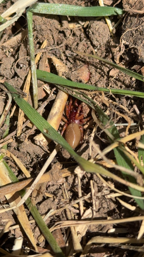
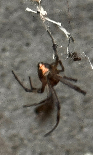
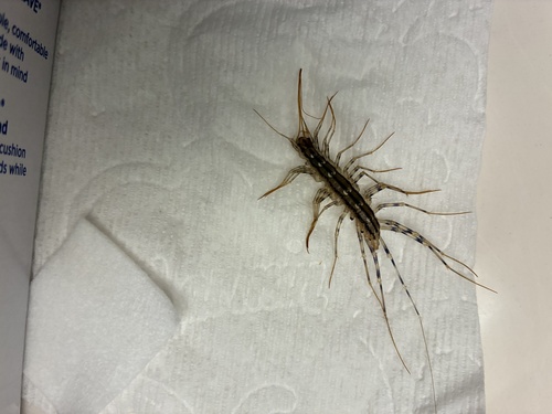
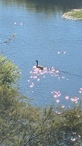
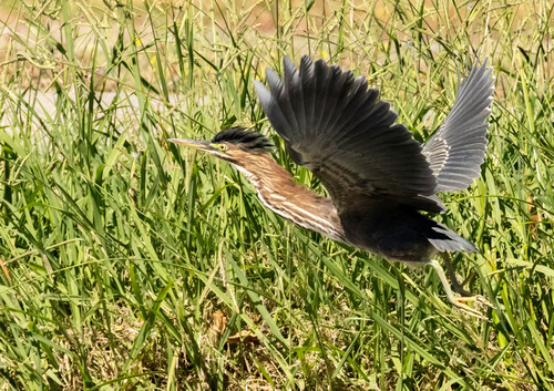
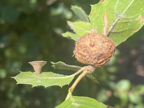
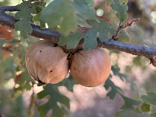
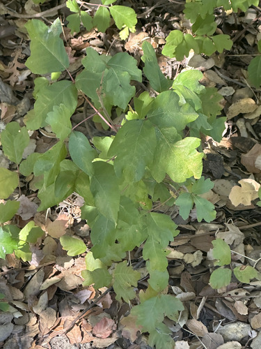
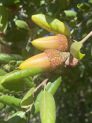
Research-grade observations from iNaturalist (within ~15 mi).
Nearest stream gauge
Events
Gallery
Sources
- • Wikipedia
- • US Census Bureau (ACS 5-year estimates)
- • Open-Meteo (ERA5 reanalysis)
- • NOAA National Weather Service
- • Wikidata
- • NCES via Urban Institute Education Data Portal
- • GBIF (Global Biodiversity Information Facility)
- • iNaturalist
- • CDC PLACES
- • Open-Meteo / sunrise-sunset.org
- • Wikipedia Pageviews API
- • Open Library
- • NASA EONET