Browse / Canada / Manitoba / Stonewall
Stonewall
Manitobatown

Stonewall
Total population
4,536
Founded
1878
Demographic figures from Statistics Canada. Overview below cites Wikipedia and may reference a different year.
City facts
Facts from Wikidata (CC0).
Overview
Stonewall is a town in the Canadian province of Manitoba with a population of 5,046 as of the 2021 census. The town is situated approximately 25 kilometres (16 mi) north of Winnipeg on PTH 67. It is known for its limestone quarries. The local festival is the Quarry Days which is usually held over three days in August on Main Street. The town is surrounded by the R.M. of Rockwood.
Read more on WikipediaHistory & geography
History
When the last ice age retreated, as well as the prairies, escarpments such as Riding Mountain were left behind. In addition to these, smaller elevations were left behind such as Stony Mountain and Stonewall. It is believed that these escarpments were used as look-outs by early hunters approximately 4,000 to 5,000 years ago. These formations were later used as buffalo jumps by the indigenous populations. Stonewall was founded by Samuel Jacob Jackson in 1878, after he acquired the land the town is built upon in 1875. However, Jackson did not move to Stonewall himself until 1881. During the peak times of the quarry, large amounts of dynamite was used for blasting the rock. The dynamite was kept in the powder magazine which has since been rebuilt near the entrance to Stonewall Quarry Park. On June 30, 1880, the CPR railway line between Winnipeg and Victoria Junction, east of Stonewall, was completed. The construction of the line continued west passing through Stonewall, Hanlan and Meadow Lea before turning south-west towards Portage la Prairie during the summer of 1880. The transcontinental line was originally planned to pass through Selkirk, but was actually built through Winnipeg following heavy lobbying from the city. The line west of Stonewall was therefore rebuilt through Rosser. The line north-west from Stonewall was subsequently extended through Teulon, Komarno before eventually reaching Arborg in 1910. In 2008, the RM of Rockwood decided that the line was obsolete. With the city of Winnipeg's help the line was taken out. The present town hall was built in 1912 using local limestone. Following the closure of the quarry, Kinsmen Lake was developed on the site and opened to the public on August 10, 1956. The lake has become a popular location for locals and…
Excerpted from the corresponding Wikipedia article (CC BY-SA).
Geography
Coordinates & boundaries from the US Census TIGER/Line shapefiles.
Climate
Air quality
Walkability
Amenities nearby
Wildlife & biodiversity
Most-observed species
- Canada Goose (canadensis Group)Branta canadensis (Linnaeus, 1758) · Aves4,776
- Red-winged BlackbirdAgelaius phoeniceus (Linnaeus, 1766) · Aves3,934
- MallardAnas platyrhynchos Linnaeus, 1758 · Aves3,569
- Common RavenCorvus corax Linnaeus, 1758 · Aves2,687
- Barn SwallowHirundo rustica Linnaeus, 1758 · Aves2,539
- Western MeadowlarkSturnella neglecta Audubon, 1844 · Aves2,443
- KilldeerCharadrius vociferus Linnaeus, 1758 · Aves2,396
- Blue-winged TealSpatula discors (Linnaeus, 1766) · Aves2,384
Citizen-science & research observations from the Global Biodiversity Information Facility (GBIF).
Earthquake history
Events from the USGS Earthquake Catalog (global) (FDSN Event Web Service).
Photos
Sights & places nearby
Notable people from here


People born within ~10 km, from Wikidata (CC0). Click any name for their Wikipedia article.
Nearby places in Manitoba
- Grosse Isle7.1 mi away
- Prairie Blossom Hutterite Colony7.1 mi away
- Newhaven Hutterite Colony7.7 mi away
- Lait8.1 mi away
- Balmoral8.4 mi away
- Clearwater Hutterite Colony8.8 mi away
- Concord Hutterite Colony9 mi away
- Gordon9.2 mi away
- Keystone Hutterite Colony12.2 mi away
- Gunton12.9 mi away
- Meadow Lane Hutterite Colony14.2 mi away
- River’s Edge14.7 mi away
Geography & sun
Elevation, sunrise/sunset and daylight from Open-Meteo. Solar climatology from NASA POWER.
Nearby airports
Public attention
Pageview totals from the Wikimedia Pageviews API.
Books about Stonewall
Search results from Open Library.
Recent natural events nearby
Ground air-quality sensors
Recently spotted species
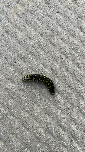
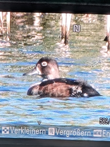
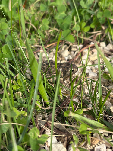
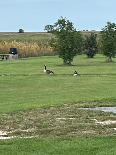
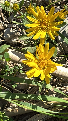
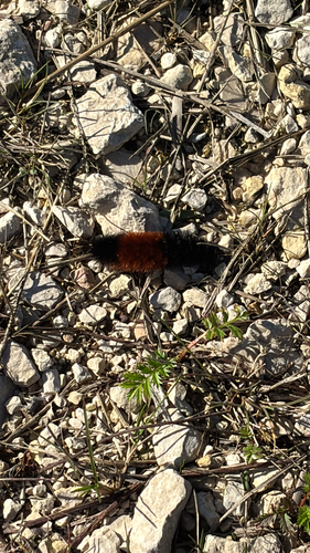
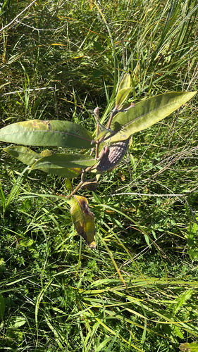
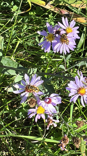
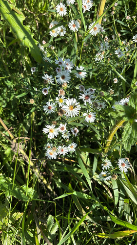
Research-grade observations from iNaturalist (within ~15 mi).
Events
Gallery
Official Identifiers
StatCan — Statistics Canada
- SGC code
- 4614039
- Population (Wikidata)
- 4,536
- Wikidata
- Q393324
Standard Geographical Classification (SGC) via Wikidata P3012
Sources
- • Wikipedia
- • Wikidata
- • USGS Earthquake Catalog (global feed)
- • GBIF (Global Biodiversity Information Facility)
- • iNaturalist
- • Open-Meteo / sunrise-sunset.org
- • Wikipedia Pageviews API
- • Open Library
- • StatCan — Statistics Canada — Standard Geographical Classification (SGC) via Wikidata P3012