Browse / Canada / Saskatchewan / Stony Rapids
Stony Rapids
Saskatchewantown

Stony Rapids
Total population
243
Founded
1937
Demographic figures from Statistics Canada. Overview below cites Wikipedia and may reference a different year.
City facts
Facts from Wikidata (CC0).
Overview
Stony Rapids is a northern hamlet in Northern Saskatchewan, Canada. It is located 82 kilometres (51 mi) south of the border with the Northwest Territories, along the Fond du Lac River. This river connects the community to Fond-du-Lac, Uranium City and Camsell Portage.
Read more on WikipediaHistory & geography
Geography
Coordinates & boundaries from the US Census TIGER/Line shapefiles.
Climate
Air quality
Walkability
Amenities nearby
Wildlife & biodiversity
Most-observed species
- Common RavenCorvus corax Linnaeus, 1758 · Aves80
- Common RedpollAcanthis flammea (Linnaeus, 1758) · Aves75
- Black-capped ChickadeePoecile atricapillus (Linnaeus, 1766) · Aves71
- Black-billed MagpiePica hudsonia (Sabine, 1823) · Aves44
- Gray JayPerisoreus canadensis (Linnaeus, 1766) · Aves38
- Dark-eyed JuncoJunco hyemalis (Linnaeus, 1758) · Aves36
- Hairy WoodpeckerLeuconotopicus villosus (Linnaeus, 1766) · Aves29
- Pine GrosbeakPinicola enucleator (Linnaeus, 1758) · Aves21
Citizen-science & research observations from the Global Biodiversity Information Facility (GBIF).
Earthquake history
Events from the USGS Earthquake Catalog (global) (FDSN Event Web Service).
Photos
Sights & places nearby
Notable people from here
Nearby places in Saskatchewan
- Big River395.8 mi away · pop. 1,140
- Sturgeon Lake405.8 mi away
- Petrykozy4226.8 mi away
- Kamienna Wola4227.3 mi away · pop. 330
- Giełzów4227.5 mi away · pop. 400
- Bernów4227.9 mi away · pop. 160
- Skrzyszów4228.3 mi away · pop. 200
- Rudzisko4228.7 mi away · pop. 55
- Maleniec4230.6 mi away · pop. 150
- Gracuch4231.6 mi away · pop. 190
- Wyszyna Machorowska4232.2 mi away · pop. 110
- Komaszyce4232.4 mi away · pop. 180
Geography & sun
Elevation, sunrise/sunset and daylight from Open-Meteo. Solar climatology from NASA POWER.
Nearby airports
Public attention
Pageview totals from the Wikimedia Pageviews API.
Books about Stony Rapids

Search results from Open Library.
Recent natural events nearby
Ground air-quality sensors
Recently spotted species
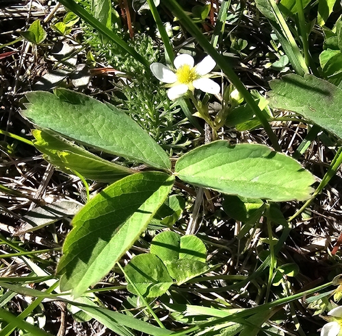
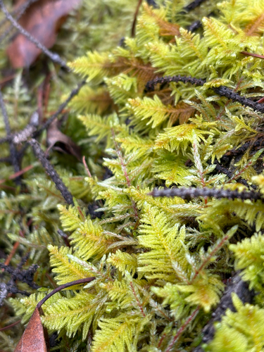
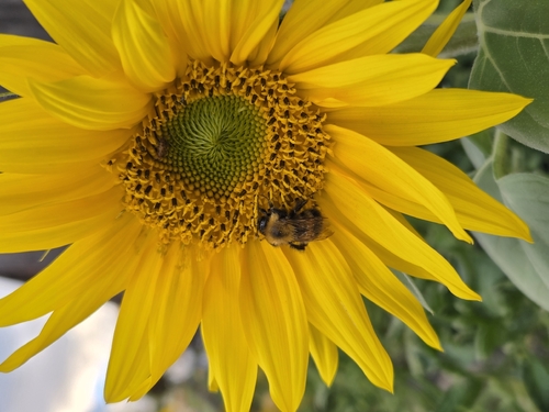

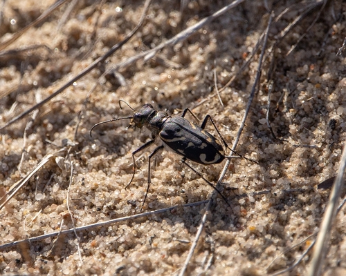
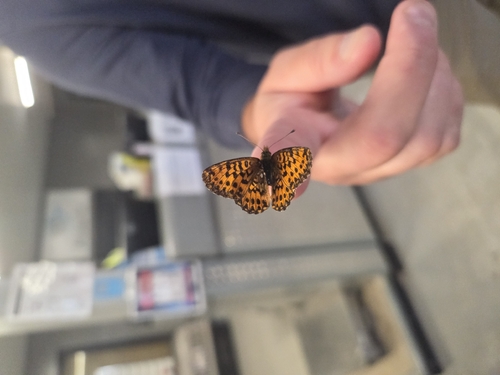
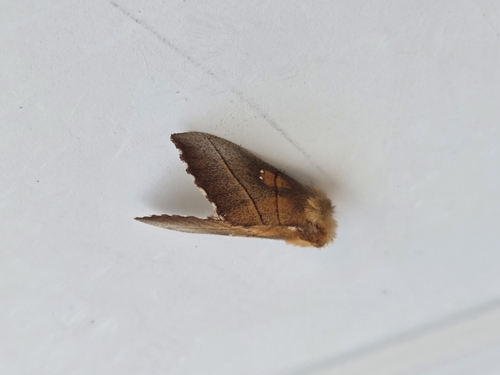
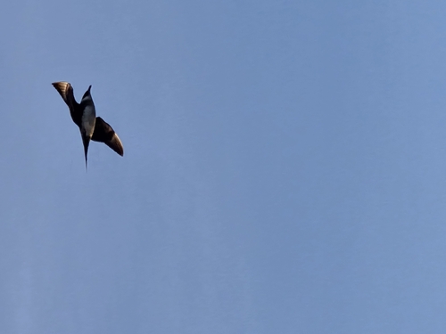
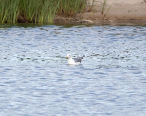
Research-grade observations from iNaturalist (within ~15 mi).
Events
Gallery
Official Identifiers
StatCan — Statistics Canada
- SGC code
- 4718100
- Wikidata
- Q491457
Standard Geographical Classification (SGC) via Wikidata P3012
Sources
- • Wikipedia
- • Wikidata
- • USGS Earthquake Catalog (global feed)
- • GBIF (Global Biodiversity Information Facility)
- • iNaturalist
- • Open-Elevation
- • Open-Meteo / sunrise-sunset.org
- • Wikipedia Pageviews API
- • Open Library
- • StatCan — Statistics Canada — Standard Geographical Classification (SGC) via Wikidata P3012