Browse / Canada / British Columbia / Summerland
Summerland
British Columbiatown

Summerland
Total population
9,860
Demographic figures from Statistics Canada. Overview below cites Wikipedia and may reference a different year.
City facts
Overview
Summerland is a district municipality on the west side of Okanagan Lake in the interior of British Columbia, Canada. The district is between Peachland to the north and Penticton to the south. The largest centre in the region is Kelowna, approximately 50 km (31 mi) to the north, and Vancouver is approximately 425 km (264 mi) away to the west. The district is famous for "Bottleneck drive", a system of roads connecting various wineries.
Read more on WikipediaHistory & geography
History
In 2006, the District of Summerland celebrated its centennial as an incorporated municipality in 1906, yet the history of settlement in the Summerland area extends beyond that time. Summerland's first inhabitants were the Syilx (Okanagan Interior Salish), with the First Nations boundaries extending from Kamloops to southern Washington state. The area known as "Nicola Prairie" was notably named after the Grand Chief Nicola. A published map of the Okanagan Valley in 1827 includes only three sites for the entire Okanagan Valley; Nicola Prairie; Lone Tree (north end of Summerland); and Sandy Cove (across the lake from present day Kelowna). Summerland's proud and diverse past includes hunting and fur trading, ranching, orchards and fruit industries, transportation hubs and more recently, tourism. Immigration to the Summerland area commenced in the late 1880s when the first settlers arrived and began diverting water to irrigate orchards. The first commercial orchard was planted in the 1890s in Trout Creek, where a water license was issued to irrigate . The first settlement identified on maps of the Okanagan Valley was Priest Encampment located on the shores of Garnett Lake. Later development began on the shores of Okanagan Lake. The upper benches continued to be an important transportation route and a number of small communities were constructed or were planned for development. They included Upper Trout Creek, Balcomo, the Prairie Valley Townsite, Mineola and Appledale. In 1892 Upper Trout Creek was established. Summerland's former name was Trout Creek. In the 1890s George Barclay operated the largest cattle ranch in Trout Creek. In 1902, Sir Thomas Shaughnessy bought the Barclay Ranch and formed Summerland; incorporation was not completed until 1906. By the 1920s the…
Geography
Summerland is located within the Thompson-Okanagan Plateau ecoregion. This is one of the warmest and driest ecoregions in Canada. It is characterized by rolling plateaus and major valley systems of the Okanagan, Thompson and Nicola Rivers. In the summer of 2003, a severe drought nearly rendered the town's reservoir incapable of ensuring a water supply through to the beginning of the next annual replenishment cycle. Since then, awareness of the real need for water conservation measures has begun to be taken seriously, and permanent water use restrictions are now in place. The immediate ecosystem consists of grasslands in a matrix of bluebunch wheatgrass and sagebrush amongst scattered ponderosa pines. The region has a gently rolling surface covered mainly by glacial deposits. Summerland is home to an extinct volcano, known locally as Giant's Head Mountain – so-named for its gigantic facial profile as viewed from the southeast. This hill dominates the town's land features and provides an hour's hike to the top for an expansive view up and down the Okanagan Valley. The range of representative wildlife around Summerland includes mule deer, Canada geese, California quail, ravens, coyotes, wolves, blue grouse, bald eagles, and black widow spiders. The hills surrounding Summerland is the natural habitat for black bear, white-tailed deer, moose, cougars and bobcats, California big-horn sheep, mountain goats, and rattlesnakes. Summerland has a humid continental climate with hot, dry summers and cool winters. The mean annual temperature of the major valleys is approximately with a summer mean of and a winter mean of ; however, winter months are often very temperate and cold weather usually lasts no more than a few weeks, while summer months often see drought with high…
Excerpted from the corresponding Wikipedia article (CC BY-SA).
Geography
Coordinates & boundaries from the US Census TIGER/Line shapefiles.
Climate
Air quality
Walkability
Amenities nearby
Wildlife & biodiversity
Earthquake history
Photos
Sights & places nearby
Notable people from here


People born within ~10 km, from Wikidata (CC0). Click any name for their Wikipedia article.
Nearby places in British Columbia
Geography & sun
Elevation, sunrise/sunset and daylight from Open-Meteo. Solar climatology from NASA POWER.
Nearby airports
Public attention
Pageview totals from the Wikimedia Pageviews API.
Books about Summerland



Search results from Open Library.
Recent natural events nearby
- Wildfire SINLAHEKIN, Okanogan, WashingtonWildfires · 2026-07-26 · 62 mi
- Wildfire Thunder Creek, Skagit, WashingtonWildfires · 2026-08-22 · 95 mi
- Wildfire SISI, Chelan, WashingtonWildfires · 2026-08-14 · 101 mi
- Wildfire Electric, Whatcom, WashingtonWildfires · 2026-08-22 · 103 mi
- Wildfire HUDSPETH, Stevens, WashingtonWildfires · 2026-08-01 · 125 mi
- Wildfire MITRE ROCK, Stevens, WashingtonWildfires · 2026-08-01 · 132 mi
- Wildfire Parker Lake, Boundary, IdahoWildfires · 2026-08-23 · 146 mi
- Wildfire Silver, Boundary, IdahoWildfires · 2026-08-23 · 152 mi
Wildfires, storms and other events from NASA EONET (last 12 months, within 250 mi).
Ground air-quality sensors
Recently spotted species
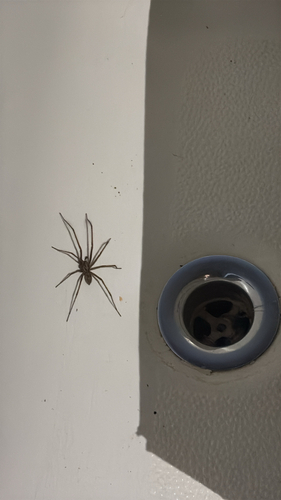
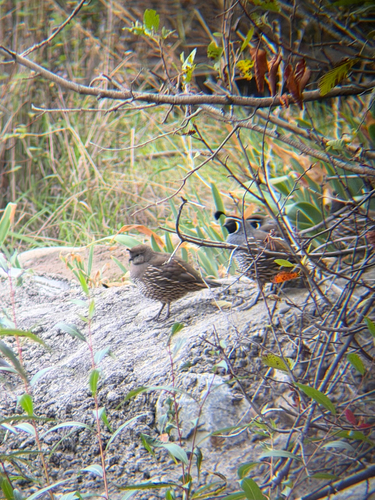
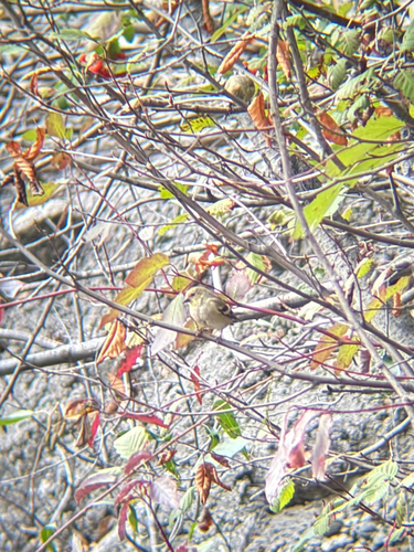
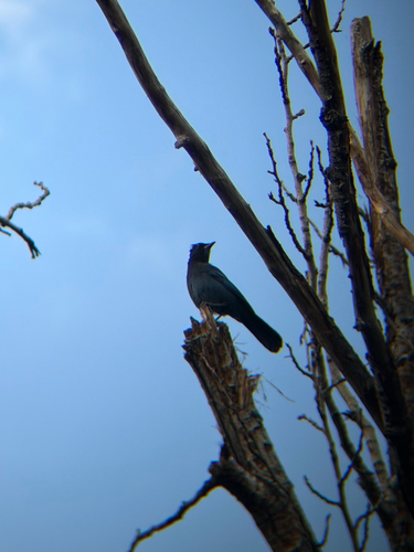
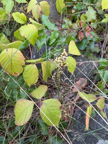
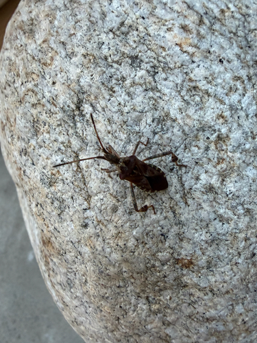
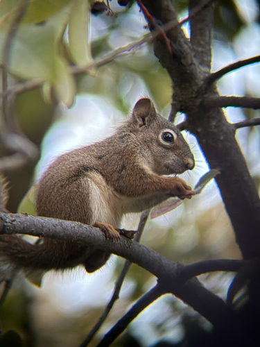
Research-grade observations from iNaturalist (within ~15 mi).
Events
Gallery
Official Identifiers
StatCan — Statistics Canada
- SGC code
- 5907035
- Population (Wikidata)
- 11,615
- Wikidata
- Q984379
Standard Geographical Classification (SGC) via Wikidata P3012
Sources
- • Wikipedia
- • Wikidata
- • iNaturalist
- • Open-Meteo / sunrise-sunset.org
- • Wikipedia Pageviews API
- • Open Library
- • NASA EONET
- • StatCan — Statistics Canada — Standard Geographical Classification (SGC) via Wikidata P3012