Browse / Canada / British Columbia / Takla Landing
Takla Landing
British Columbiavillage
Demographic figures from Statistics Canada. Overview below cites Wikipedia and may reference a different year.
City facts
Overview
Takla Landing, also known as McLaing Landing, is an unincorporated locality and former steamboat landing on the east side of Takla Lake in the Omineca Country of the Central Interior of British Columbia, Canada. In the days of the Omineca Gold Rush, Takla Landing was a port for steamboats connecting trails from Hazelton, British Columbia via Babine Lake to trails leading from Takla Landing eastwards to the area of the gold strikes in the lower Omineca River.
Read more on WikipediaHistory & geography
Geography
Coordinates & boundaries from the US Census TIGER/Line shapefiles.
Climate
Air quality
Walkability
Amenities nearby
Wildlife & biodiversity
Most-observed species
- Interrupted ClubmossSpinulum annotinum (L.) A.Haines · Lycopodiopsida2
- Lungwort [lichen]Lobaria pulmonaria (L.) Hoffm. · Lecanoromycetes2
- calypsoCalypso bulbosa (L.) Oakes · Liliopsida2
- Canadian Tiger SwallowtailPapilio canadensis Rothschild & Jordan, 1906 · Insecta1
- Bohemian WaxwingBombycilla garrulus (Linnaeus, 1758) · Aves1
- Varied ThrushIxoreus naevius (Gmelin, 1789) · Aves1
- Glittering Wood-mossHylocomium splendens (Hedw.) Schimp. · Bryopsida1
- BearberryArctostaphylos uva-ursi (L.) Spreng. · Magnoliopsida1
Citizen-science & research observations from the Global Biodiversity Information Facility (GBIF).
Earthquake history
Events from the USGS Earthquake Catalog (global) (FDSN Event Web Service).
Photos
Sights & places nearby
Notable people from here
Nearby places in British Columbia
Geography & sun
Elevation, sunrise/sunset and daylight from Open-Meteo. Solar climatology from NASA POWER.
Nearby airports
Public attention
Pageview totals from the Wikimedia Pageviews API.
Books about this place
Recent natural events nearby
Ground air-quality sensors
Recently spotted species
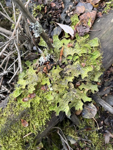
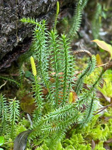
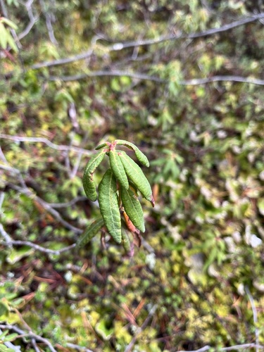
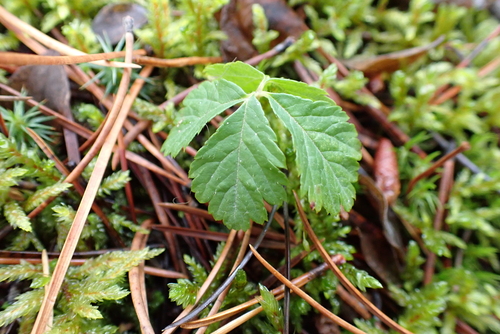
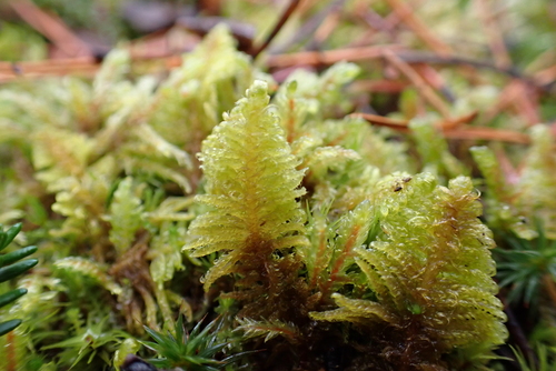
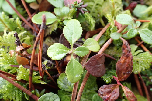
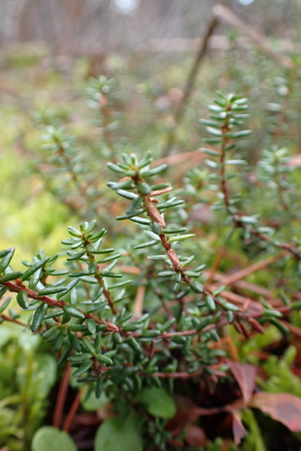
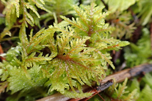
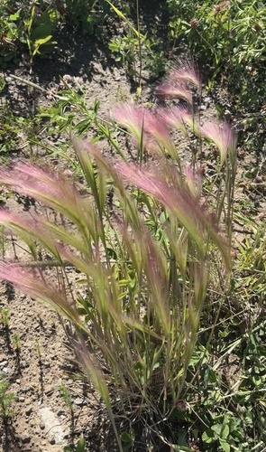
Research-grade observations from iNaturalist (within ~15 mi).
Events
Gallery
Sources
- • Wikipedia
- • USGS Earthquake Catalog (global feed)
- • GBIF (Global Biodiversity Information Facility)
- • iNaturalist
- • Open-Meteo / sunrise-sunset.org
- • Wikipedia Pageviews API