Browse / Canada / Ontario / Temagami
Temagami
Ontariotown

Temagami
Total population
802
Founded
1903
Demographic figures from Statistics Canada. Overview below cites Wikipedia and may reference a different year.
City facts
Facts from Wikidata (CC0).
Overview
Temagami, formerly spelled Timagami, is a municipality in northeastern Ontario, Canada, in the Nipissing District with Lake Temagami at its heart.
Read more on WikipediaHistory & geography
History
Anishnabai legends describe them migrating from the east coast of North America after a warning from prophets concerning the arrival of a danger from the east. The land was divided into familial hunting and trapping territories. Since the main east–west fur trade route bypassed Temagami to the south, settlement of this area by Europeans did not come until 1834. That year the Hudson's Bay Company built a store on Temagami Island, which later relocated to Bear Island. The town itself was founded by Dan O'Connor, who in 1903 formed the O'Connor Steamboat and Hotel Company on the lake and established its first store on the future townsite. By 1906, he had built three hotels on Lake Temagami: Hotel Ronnoco, Temagami Inn, and Lady Evelyn Hotel and by 1910 the company operated ten steamships on the lake including the Belle of Temagami. Discoveries of gold, copper, nickel, and particularly silver in 1903, brought mining to nearby Cobalt and accelerated development of the region. Several mines opened in Temagami, including Big Dan Mine, Little Dan Mine, Barton Mine, Hermiston-McCauley Mine, Temagami-Lorrain Mine, Priest Mine, Beanland Mine, Sherman Mine, Kanichee Mine, Northland Pyrite Mine and Copperfields Mine, which once mined the richest copper ore in Canada. The Forest Reserves Act of 1898 established the Temagami Forest Reserve. Because of this reserve, the region was home to the last Old-growth forests in Ontario. Logging of the vast pine stands only began in the 1920s. Now just a few patches of old growth remain, including the White Bear Forest () and the world's largest stand of old-growth red and white pine forest - the Obabika Old-Growth Forest or Wakimika Triangle Forest part of the Obabika River Waterway Provincial Park (). This has led to confrontation in…
Geography
The Temagami land is part of the Canadian Shield, one of the largest single exposure of Precambrian rocks in the world which were formed after the Earth's crust cooled. Temagami land has striking similarities to the Sudbury Structure, which is one of the richest mining camps in the world. The hills in the Temagami area are remnants of the oldest mountain ranges in North America that date back during the Precambrian era. These enormous mountains were taller than any that exist today. The uplifting was accomplished as enormous pressure caused the earth to buckle in a process called folding. Other processes, such as volcanic activity and geologic faulting in which the earth cracks open also contributed to the formation of these mountains. Over millions of years, these enormous mountains were gradually eroded to the land we know today in Temagami. The rocks that form Temagami to this day are igneous, metamorphic and sedimentary rock. The Temagami area has good potential to host diamondiferous kimberlites and more diamond bearing kimberlites may continue to be discovered in the area. The Temagami area also contains some pillow lava about 2 billion years old, indicating that great submarine volcanoes existed during the early stages of the formation of the Earth's crust. There are a number of northwest trending faults in the Temagami East claim block area and are associated with the Saint Lawrence rift system and remains seismically active. The most recently felt earthquake in the Temagami area occurred in the year 2000. Minerals in the Temagami area include aragonite, brochantite, calcite, Chalcopyrite, jasper, magnetite, molybdenite, pentlandite, pyrite, pyrrhotite, serpentine, and talc. A bright white palladium mercury telluride mineral was discovered on Temagami Island…
Excerpted from the corresponding Wikipedia article (CC BY-SA).
Geography
Coordinates & boundaries from the US Census TIGER/Line shapefiles.
Climate
Air quality
Walkability
Amenities nearby
Wildlife & biodiversity
Earthquake history
Photos
Sights & places nearby
Notable people from here
People born within ~10 km, from Wikidata (CC0). Click any name for their Wikipedia article.
Geography & sun
Elevation, sunrise/sunset and daylight from Open-Meteo. Solar climatology from NASA POWER.
Nearby airports
Public attention
Pageview totals from the Wikimedia Pageviews API.
Books about Temagami
Search results from Open Library.
Recent natural events nearby
Ground air-quality sensors
Recently spotted species
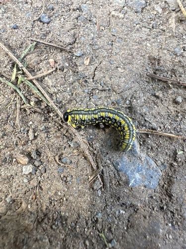
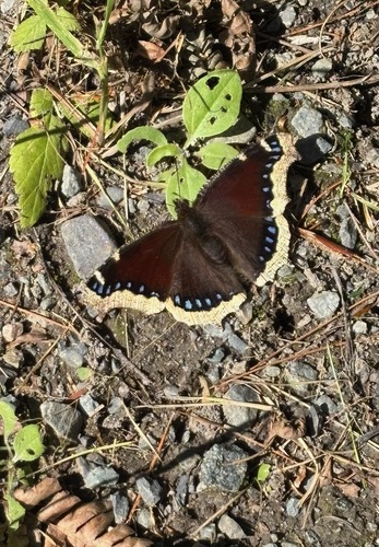
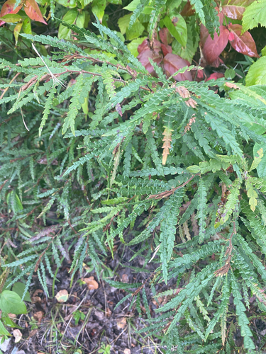
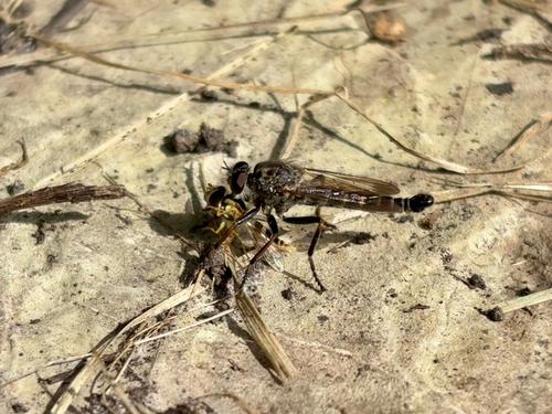
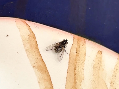
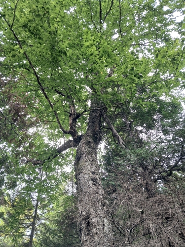
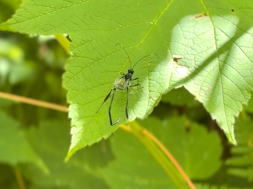
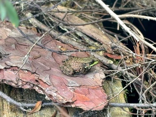
Research-grade observations from iNaturalist (within ~15 mi).
Events
Gallery
Official Identifiers
StatCan — Statistics Canada
- SGC code
- 3548069
- Wikidata
- Q368855
Standard Geographical Classification (SGC) via Wikidata P3012
Sources
- • Wikipedia
- • Wikidata
- • iNaturalist
- • Open-Meteo / sunrise-sunset.org
- • Wikipedia Pageviews API
- • Open Library
- • StatCan — Statistics Canada — Standard Geographical Classification (SGC) via Wikidata P3012