Browse / United States / California / Tracy
Tracy
Californiacity

Tracy
Total population
100,136
Median home value
$739,900
Bachelor's+
Median income
$120,776
Demographic figures from US Census Bureau · ACS 5-year estimates. Overview below cites Wikipedia and may reference a different year.
- Heat Advisory · ModerateHeat Advisory issued October 1 at 9:34AM PDT until October 5 at 10:00PM PDT by NWS Sacramento CA
Source: NOAA National Weather Service.
City facts
Sister cities
Facts from Wikidata (CC0).
Overview
Tracy is the second-most populous city in San Joaquin County, California, United States. Its population was 93,000 at the 2020 census and estimated at 101,901 in 2025. Tracy is located inside a geographic triangle formed by Interstate 205 on the north side of the city, Interstate 5 to the east, and Interstate 580 to the southwest.
Read more on WikipediaHistory & geography
History
Until the 1760s, the area that became the city of Tracy was long populated by the Yokuts ethnic group of loosely associated bands of Native Americans and their ancestors. They lived on hunting and gathering game and fish from local rivers and creeks. After encountering the Spanish colonists, the Yokuts suffered from new infectious diseases, which caused social disruption, as did the Spanish efforts to impress them into labor at Mission San José. Mexican and American explorers later arrived, pushing the Yokuts out. The Yokuts people remain, living in small groups with about 2,600 people identifying as Yokut. Along with them, another language group of Native Americans found near Tracy are referred to as the Mono people, numbering around 1,800. Tracy is a railroad town that came from the mid-19th century construction, mainly by Chinese laborers, of Central Pacific Railroad rail lines running from Sacramento through Stockton to the San Francisco Bay Area, beginning 1868 and ending September 1878 with the opening of a new branch and junction. A number of small communities sprang up along these lines at designated station sites, including one at the junction named for railroad director J. J. Tracy. Incorporated in 1911, Tracy grew rapidly and prospered as the center of an agricultural area, even when larger railroad operations began to decline in the 1950s. Competition with trucking and automobiles resulted in widespread railroad restructuring. Tracy is part of the San Jose-San Francisco-Oakland, CA Combined Statistical Area, an extension of the Bay Area. In December 1969, the town of Tracy hosted the Altamont Free Concert, held at the later closed Altamont Raceway Park. An estimated 300,000 people gathered at the speedway infield in an event that was plagued by violence…
Geography
Located in the Central Valley, Tracy is near both fertile and (due to a region of hills west of Tracy) infertile agricultural lands. Tracy has a Mediterranean climate. Some of this land (in the east and mostly north of Tracy because of the moist Delta river system) has come under increasing development pressure. The San Francisco Bay Area's vigorous population growth has spilled over into the Tracy area as well as other locations, such as the new town of Mountain House. Tracy passed Measure A in 1990 in an attempt to contain and limit development. In an effort to reduce environmental impacts of the city, it launched the Emerald Tracy Project in September 2009. City spokesman Matt Robinson said that if it succeeds, Tracy will be the second city after Riverside, California to satisfy the state's goal for sustainable communities. Tracy features a semi-arid climate (Köppen BSk), with cool, moist winters and very hot and dry summers, displaying Mediterranean characteristics. December and January are the coolest months, and average around , and there are 19 nights with lows at or below freezing annually, with the coldest night of the year typically bottoming out below . July is the warmest month, averaging ; normally, there are 18 days of + highs and 82 days of + highs. Average annual precipitation is around , which, by definition, results in the area being classified as a semi-desert.
Excerpted from the corresponding Wikipedia article (CC BY-SA).
Demographics & economy
Race & ethnicity
Source: US Census Bureau — American Community Survey, 5-year estimates.
Geography
Coordinates & boundaries from the US Census TIGER/Line shapefiles.
Climate
Current forecast
Forecast for Tracy, CA from NOAA NWS API.
Air quality
Industrial & pollution facilities
Natural hazard risk
Health (adults)
Age-adjusted prevalence estimates from CDC PLACES (latest release).
Walkability
Amenities nearby
Wildlife & biodiversity
Most-observed species
- House FinchHaemorhous mexicanus (P.L.Statius Müller, 1776) · Aves5,255
- California/Woodhouse's Scrub-JayAphelocoma californica (Vigors, 1839) · Aves4,702
- European StarlingSturnus vulgaris Linnaeus, 1758 · Aves4,448
- Northern MockingbirdMimus polyglottos (Linnaeus, 1758) · Aves4,166
- Eurasian Collared-DoveStreptopelia decaocto (Frivaldszky, 1838) · Aves4,018
- Black PhoebeSayornis nigricans (Swainson, 1827) · Aves3,981
- Common RavenCorvus corax Linnaeus, 1758 · Aves3,913
- Red-tailed HawkButeo jamaicensis (Gmelin, 1788) · Aves3,810
Citizen-science & research observations from the Global Biodiversity Information Facility (GBIF).
Schools
Largest nearby schools
- Mountain House HighHigh · Mountain House · 2,142 students · 23.8:1 ratio
- Merrill F. West HighHigh · Tracy · 2,108 students · 22.7:1 ratio
- Tracy HighHigh · Tracy · 1,768 students · 23.3:1 ratio
- John C. Kimball HighHigh · Tracy · 1,607 students · 24.7:1 ratio
- Mossdale ElementaryElementary · Lathrop · 1,069 students · 27.4:1 ratio
- River Islands Technology Academy IIElementary · Lathrop · 993 students · 27.6:1 ratio
- Hansen ElementaryElementary · Mountain House · 936 students · 25.3:1 ratio
- George Kelly ElementaryElementary · Tracy · 933 students · 23.3:1 ratio
Public K–12 schools within ~10 mi from Urban Institute Education Data Portal (NCES Common Core of Data, 2022).
Earthquake history
Most recent
- M 2.54 — 2026-10-1510 km ESE of Gilroy, CA
- M 2.6 — 2026-09-2726 km WSW of Westley, CA
- M 3.32 — 2026-09-2727 km WSW of Westley, CA
- M 2.56 — 2026-09-232 km NW of Hollister, CA
- M 2.51 — 2026-09-1910 km ENE of Milpitas, CA
- M 2.53 — 2026-09-172 km ENE of Aromas, CA
Events from the USGS Earthquake Catalog (global) (FDSN Event Web Service).
Photos
Sights & places nearby
Notable people from here


People born within ~10 km, from Wikidata (CC0). Click any name for their Wikipedia article.
Nearby places in California
- French Camp13.6 mi away
- Ripon17.6 mi away · pop. 16,201
- Grayson18.7 mi away
- Salida20.1 mi away
- Del Rio24.2 mi away · pop. 1,508
- Riverdale Park24.2 mi away · pop. 1,137
- Rouse25.4 mi away
- Parklawn27.1 mi away
- Riverbank27.7 mi away · pop. 25,166
- Peters28.1 mi away
- Norris Canyon29.3 mi away
- East Foothills31 mi away · pop. 7,139
Geography & sun
Elevation, sunrise/sunset and daylight from Open-Meteo. Solar climatology from NASA POWER.
Nearby airports
Public attention
Pageview totals from the Wikimedia Pageviews API.
Books about Tracy
Search results from Open Library.
Recent natural events nearby
- Wildfire GANN, Calaveras, CaliforniaWildfires · 2026-08-03 · 46 mi
- Wildfire DOME, Mariposa, CaliforniaWildfires · 2026-09-15 · 101 mi
- Wildfire Timber, Monterey, CaliforniaWildfires · 2026-08-09 · 105 mi
- Wildfire Plaskett, Monterey, CaliforniaWildfires · 2026-08-26 · 126 mi
- Wildfire LUCAS, Lake, CaliforniaWildfires · 2026-09-10 · 134 mi
- Wildfire LUCAS, Lake, CaliforniaWildfires · 2026-09-10 · 134 mi
- Wildfire FLORISTON, Nevada, CaliforniaWildfires · 2026-09-16 · 139 mi
- Wildfire Bull, Washoe, NevadaWildfires · 2026-10-02 · 148 mi
Wildfires, storms and other events from NASA EONET (last 12 months, within 250 mi).
Ground air-quality sensors
Recently spotted species
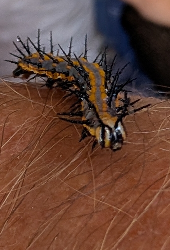
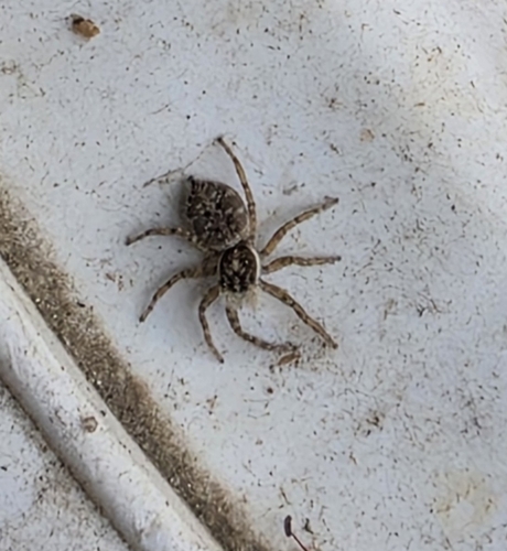
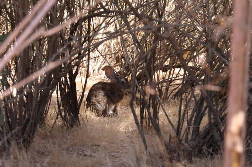
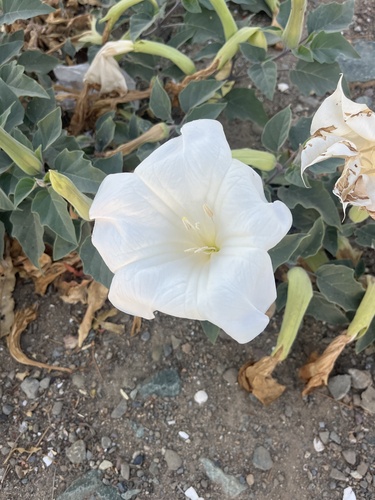
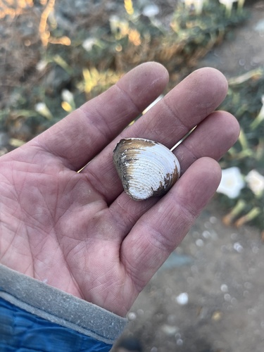
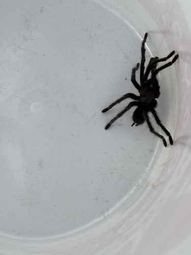
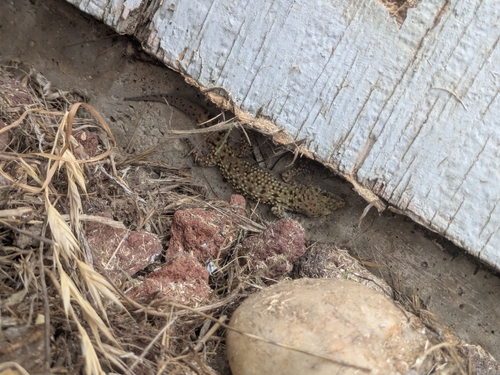
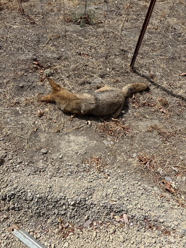
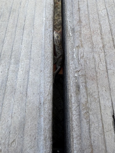
Research-grade observations from iNaturalist (within ~15 mi).
Nearest stream gauge
Live readings from USGS NWIS · measured 2026-10-01 16:00 UTC.
Events
Gallery
Sources
- • Wikipedia
- • US Census Bureau (ACS 5-year estimates)
- • NOAA National Weather Service
- • Wikidata
- • USGS Earthquake Catalog (global feed)
- • USGS NWIS (water data)
- • NCES via Urban Institute Education Data Portal
- • GBIF (Global Biodiversity Information Facility)
- • iNaturalist
- • CDC PLACES
- • Open-Meteo / sunrise-sunset.org
- • Wikipedia Pageviews API
- • Open Library
- • NASA EONET