Browse / United States / California / Tulare
Tulare
Californiacity

Tulare
Total population
72,604
Median home value
$366,200
Bachelor's+
Median income
$79,192
Founded
1872
Air quality index
Demographic figures from US Census Bureau · ACS 5-year estimates. Overview below cites Wikipedia and may reference a different year.
- Heat Advisory · ModerateHeat Advisory issued October 1 at 9:30AM PDT until October 4 at 10:00PM PDT by NWS Hanford CA
Source: NOAA National Weather Service.
City facts
Sister cities
Facts from Wikidata (CC0).
Overview
Tulare is a city in Tulare County, California, United States. The population was 68,875 per the 2020 census. It is located in the heart of the San Joaquin Valley, 8 mi (13 km) south of Visalia and 60 mi (97 km) north of Bakersfield. The city is named after the Tulare Lake, once the largest freshwater lake west of the Great Lakes.
Read more on WikipediaHistory & geography
History
The Yokuts people built reed boats and fished in what was later to be called Tulare Lake in their homeland for centuries, until the invasion and settlement by the Spanish and American pioneers. When California became a state in 1850, Tulare did not yet exist as a town. Tulare was founded in 1872, by the Southern Pacific Railroad. Tule is the town's namesake. Transportation was the first impetus behind the establishment of the town. The town burnt down and being rebuilt three times in its first fourteen years. Tulare was incorporated in 1888. In 1940, famed aerobatic stunt pilot J.G. "Tex" Rankin secured a U.S. War Department contract to open and operate a civilian flying school to train United States Army Air Corps flight cadets. Rankin opened the Rankin Aeronautical Academy in Tulare in February 1941, where it operated throughout the duration of World War II. During its heyday Rankin Field, as it was otherwise known, trained 10,000 pilots in primary flight training, including twelve future Army Air Corps Aces and two Medal of Honor recipients. During World War II, in response to the Attack on Pearl Harbor and the West Coast wartime hysteria, the U.S. Army temporarily assumed control of the Tulare County Fairgrounds, converting it to the Tulare Assembly Center, a temporary detention center for Japanese Americans. The Assembly Center was administered by the Wartime Civil Control Administration, under the Western Defense Command and the U.S. 4th Army. The first internee was inducted on April 27, 1942, and the last internee departed on September 4, 1942. The top population numbered 4,978 residents, many of whom were citizens born in the United States. In the latter part of 1942, internees began being moved to the ten more permanent "War Relocation Camps". The…
Geography
Tulare is located at (36.206601, −119.342404). Located directly between Fresno and Bakersfield, Tulare is in the heart of the Central Valley. Although the foothills of the Sierra Nevada are only about 20 miles east of town, they are seldom visible due to the chronically poor air quality and very high levels of airborne particulate matter, soot, and other pollution. According to the United States Census Bureau, the city has a total area of , of which is land and (0.37%) is water.
Excerpted from the corresponding Wikipedia article (CC BY-SA).
Demographics & economy
Race & ethnicity
Source: US Census Bureau — American Community Survey, 5-year estimates.
Geography
Coordinates & boundaries from the US Census TIGER/Line shapefiles.
Climate
Current forecast
Forecast for Tulare, CA from NOAA NWS API.
Air quality
Current readings from Open-Meteo Air Quality API (Copernicus CAMS European reanalysis).
Industrial & pollution facilities
Natural hazard risk
Health (adults)
Age-adjusted prevalence estimates from CDC PLACES (latest release).
Walkability
Amenities nearby
Wildlife & biodiversity
Most-observed species
- Mourning DoveZenaida macroura (Linnaeus, 1758) · Aves1,700
- California/Woodhouse's Scrub-JayAphelocoma californica (Vigors, 1839) · Aves1,645
- Northern MockingbirdMimus polyglottos (Linnaeus, 1758) · Aves1,337
- House FinchHaemorhous mexicanus (P.L.Statius Müller, 1776) · Aves1,311
- House SparrowPasser domesticus (Linnaeus, 1758) · Aves1,277
- American CrowCorvus brachyrhynchos C.L.Brehm, 1822 · Aves1,173
- European StarlingSturnus vulgaris Linnaeus, 1758 · Aves1,121
- Anna's HummingbirdCalypte anna (R.Lesson, 1829) · Aves1,069
Citizen-science & research observations from the Global Biodiversity Information Facility (GBIF).
Schools
Largest nearby schools
- Redwood HighHigh · Visalia · 2,483 students · 24.1:1 ratio
- El Diamante HighHigh · Visalia · 1,987 students · 22.3:1 ratio
- Tulare Western HighHigh · Tulare · 1,933 students · 22:1 ratio
- Tulare Union HighHigh · Tulare · 1,699 students · 20.7:1 ratio
- Mission Oak HighHigh · Tulare · 1,686 students · 21.9:1 ratio
- Mt. Whitney HighHigh · Visalia · 1,639 students · 21:1 ratio
- Sundale ElementaryElementary · Tulare · 824 students · 25.8:1 ratio
- Annie R. MitchellElementary · Visalia · 783 students · 26.1:1 ratio
Public K–12 schools within ~10 mi from Urban Institute Education Data Portal (NCES Common Core of Data, 2022).
Earthquake history
Most recent
- M 2.68 — 2026-09-241 km S of Orange Cove, CA
- M 2.52 — 2026-09-0928 km WSW of Olancha, CA
- M 2.6 — 2026-08-2611 km NNW of Corcoran, CA
- M 2.85 — 2026-08-218 km WNW of Corcoran, CA
- M 3.34 — 2026-08-0410 km NNE of Kettleman City, CA
- M 2.55 — 2026-07-1213 km SSW of Cantua Creek, CA
Events from the USGS Earthquake Catalog (global) (FDSN Event Web Service).
Photos
Sights & places nearby
Notable people from here


People born within ~10 km, from Wikidata (CC0). Click any name for their Wikipedia article.
Nearby places in California
- Matheny2.1 mi away · pop. 572
- East Tulare Villa3.4 mi away
- Plainview12.2 mi away
- Patterson Tract12.7 mi away
- Lindsay13.9 mi away · pop. 12,643
- Poplar-Cotton Center14.5 mi away
- Pixley15.6 mi away
- Home Garden17.9 mi away
- Delft Colony22.5 mi away
- Cutler22.7 mi away · pop. 4,361
- East Porterville22.7 mi away
- Orosi23.9 mi away
Geography & sun
Elevation, sunrise/sunset and daylight from Open-Meteo. Solar climatology from NASA POWER.
Nearby airports
Public attention
Pageview totals from the Wikimedia Pageviews API.
Books about Tulare
Search results from Open Library.
Recent natural events nearby
- Prescribed Fire CRAWFORD CORRAL RX, Tulare, CaliforniaWildfires · 2026-09-19 · 35 mi
- Wildfire CYRUS, Kern, CaliforniaWildfires · 2026-10-09 · 62 mi
- Wildfire PLAINS, San Luis Obispo, CaliforniaWildfires · 2026-08-12 · 66 mi
- Wildfire BUZZARD, Kern, CaliforniaWildfires · 2026-08-05 · 93 mi
- Wildfire DOME, Mariposa, CaliforniaWildfires · 2026-09-15 · 96 mi
- Wildfire RIDGE, Los Angeles, CaliforniaWildfires · 2026-08-07 · 101 mi
- Wildfire Plaskett, Monterey, CaliforniaWildfires · 2026-08-26 · 117 mi
- Wildfire BOUQUET, Los Angeles, CaliforniaWildfires · 2026-10-03 · 125 mi
Wildfires, storms and other events from NASA EONET (last 12 months, within 250 mi).
Ground air-quality sensors
Recently spotted species
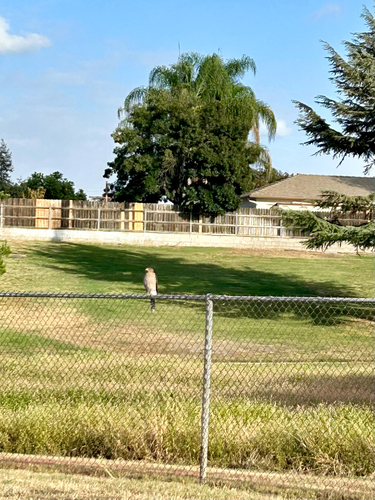
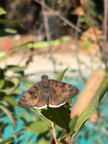
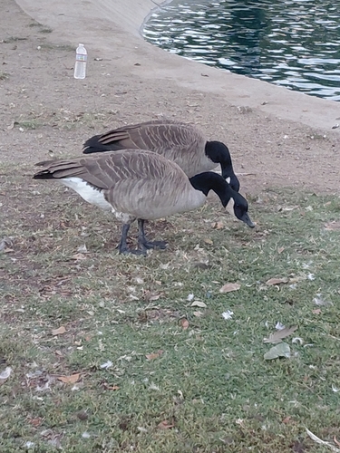
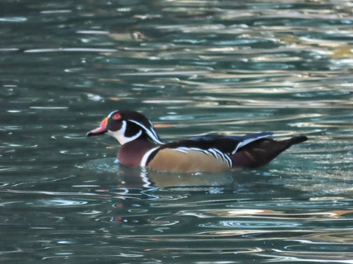
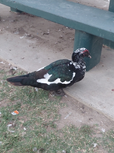
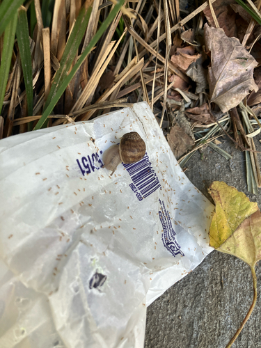
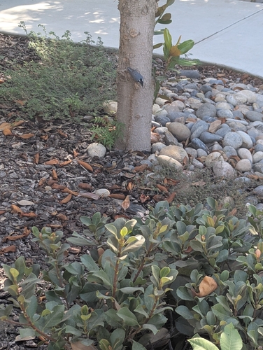
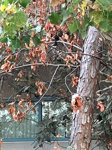
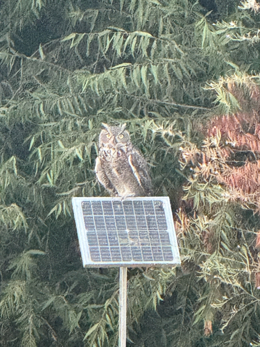
Research-grade observations from iNaturalist (within ~15 mi).
Nearest stream gauge
Events
Gallery
Sources
- • Wikipedia
- • US Census Bureau (ACS 5-year estimates)
- • NOAA National Weather Service
- • Wikidata
- • Open-Meteo Air Quality (CAMS)
- • USGS Earthquake Catalog (global feed)
- • NCES via Urban Institute Education Data Portal
- • GBIF (Global Biodiversity Information Facility)
- • iNaturalist
- • CDC PLACES
- • Open-Meteo / sunrise-sunset.org
- • Wikipedia Pageviews API
- • Open Library
- • NASA EONET