Browse / Canada / Newfoundland and Labrador / Twillingate
Twillingate
Newfoundland and Labradortown

Twillingate
Total population
5,000
Founded
1965
Demographic figures from Statistics Canada. Overview below cites Wikipedia and may reference a different year.
City facts
Facts from Wikidata (CC0).
Overview
Twillingate is a town of 2,121 people located on the Twillingate Islands ("Toulinquet") in Notre Dame Bay, off the north eastern shore of the island of Newfoundland in the province of Newfoundland and Labrador, Canada. The town is about 100 kilometres (62 mi) north of Lewisporte and Gander.
Read more on WikipediaHistory & geography
History
The earliest known people to inhabit the area were the Maritime Archaic, who occupied the area 3,500 years ago in roughly 1500 BC. The Maritime Archaic people were later supplanted by the Beothuk, and possibly the Dorset Inuit, who occupied the area until the arrival of European settlers. The French had been fishing in the area possibly as early as 1500, but the first European settlers did not arrive until the 17th century. The settlers were mostly made up of fishermen and their families from the West Country in England. Lewisporte based newspaper the Pilot then served the area until going defunct in 2018. Since the Fisheries and Oceans Canada moratorium on fishing northern cod (see Endangered Species Controversies in Canada and Europe) was announced on July 2, 1992, followed shortly after by the collapse of the fishing industry, Twillingate has been forced to look to the tourist industry for income and has become a popular spot for visitors in the summer.
Geography
Twillingate is easily accessed by Route 340 from Lewisporte if approaching from western Newfoundland or by Route 330 from Gander if approaching from eastern Newfoundland. The town of Twillingate is approximately 1.5 hours from Gander and about an hour from Lewisporte. There are several very small fishing communities that can be found on Twillingate Island before reaching the main town, such as Black Duck Cove, Purcell's Harbour, and Little Harbour. The western portion of the island, a series of communities now amalgamated into Bayview is accessible via Bayview Street. The town of Twillingate is about from the Twillingate-New World Island causeway. When in the town, access to the northern island is provided by "Tickle Bridge" and the communities on the southern island can be accessed via the town's main road. Route 340 runs through Twillingate as Toulinguet Street and Main Street. After turning left at the town's main intersection (Toulinguet and Main), Route 340 runs through northern portion of the town and continues through the surrounding communities on the northern island, Back Harbour, Paradise and Wild Cove, then after a 0.5 km stretch enters the town of Crow Head and continues to the Long Point Lighthouse. The highest point in Twillingate can be reached via the "Top of Twillingate Walking Trail", which is located off Bayview Street. Elevation varies significantly throughout the town. The main southern and northern sides of the town in addition to the neighbourhoods of Wild Cove, Back Harbour, Hart's Cove, and portions of Bayview and Durrell are near sea level. Other parts of Durrell, Bayview and the central area of the town are situated on more elevated land. The region is known for its scenic, rugged coastline and its quiet and friendly atmosphere.…
Excerpted from the corresponding Wikipedia article (CC BY-SA).
Geography
Coordinates & boundaries from the US Census TIGER/Line shapefiles.
Climate
Air quality
Walkability
Amenities nearby
Wildlife & biodiversity
Most-observed species
- American herring gull, Smithsonian GullLarus smithsonianus Coues, 1862 · Aves539
- American CrowCorvus brachyrhynchos C.L.Brehm, 1822 · Aves465
- American RobinTurdus migratorius Linnaeus, 1766 · Aves410
- Great Black-backed GullLarus marinus Linnaeus, 1758 · Aves402
- Double-crested CormorantPhalacrocorax auritus (Lesson, 1831) · Aves315
- White-throated SparrowZonotrichia albicollis (J.F.Gmelin, 1789) · Aves309
- Dark-eyed JuncoJunco hyemalis (Linnaeus, 1758) · Aves293
- Fox SparrowPasserella iliaca (Merrem, 1786) · Aves286
Citizen-science & research observations from the Global Biodiversity Information Facility (GBIF).
Earthquake history
Events from the USGS Earthquake Catalog (global) (FDSN Event Web Service).
Photos
Sights & places nearby
Notable people from here

People born within ~10 km, from Wikidata (CC0). Click any name for their Wikipedia article.
Nearby places in Newfoundland and Labrador
Geography & sun
Elevation, sunrise/sunset and daylight from Open-Meteo. Solar climatology from NASA POWER.
Nearby airports
Public attention
Pageview totals from the Wikimedia Pageviews API.
Books about Twillingate


Search results from Open Library.
Recent natural events nearby
Ground air-quality sensors
Recently spotted species
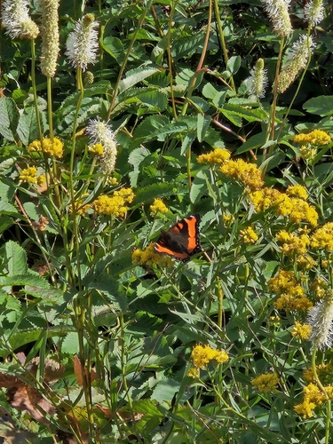
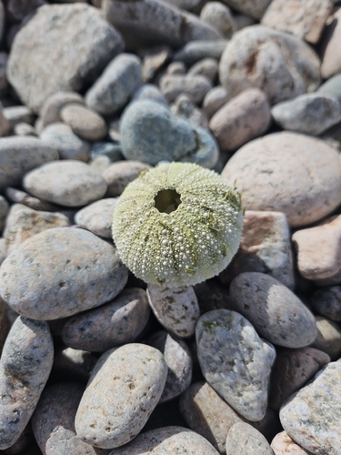
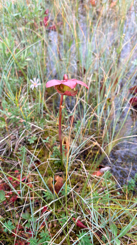
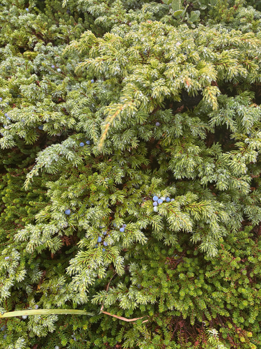
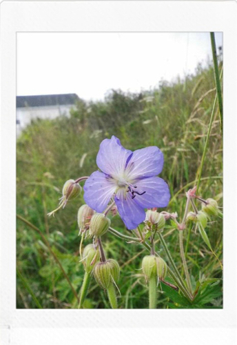
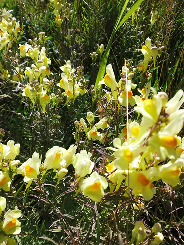
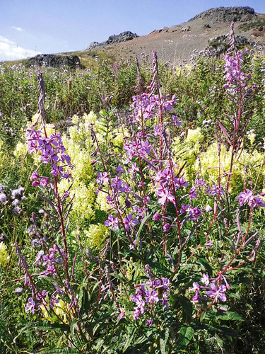
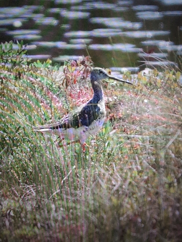
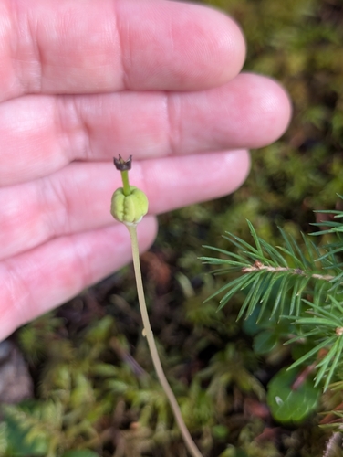
Research-grade observations from iNaturalist (within ~15 mi).
Events
Gallery
Official Identifiers
StatCan — Statistics Canada
- SGC code
- 1008035
- Wikidata
- Q1732099
Standard Geographical Classification (SGC) via Wikidata P3012
Sources
- • Wikipedia
- • Wikidata
- • USGS Earthquake Catalog (global feed)
- • GBIF (Global Biodiversity Information Facility)
- • iNaturalist
- • Open-Meteo / sunrise-sunset.org
- • Wikipedia Pageviews API
- • Open Library
- • StatCan — Statistics Canada — Standard Geographical Classification (SGC) via Wikidata P3012